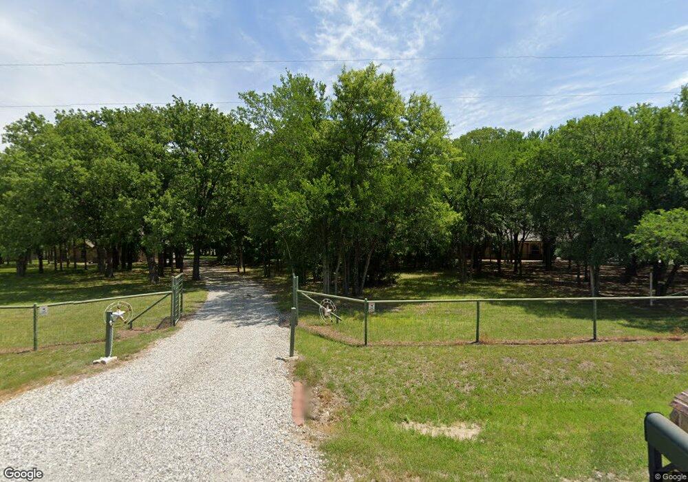
328 Edward Farris Rd Weatherford, TX 76085
Estimated Value: $369,000 - $665,000
--
Bed
--
Bath
1,973
Sq Ft
$278/Sq Ft
Est. Value
About This Home
This home is located at 328 Edward Farris Rd, Weatherford, TX 76085 and is currently estimated at $548,250, approximately $277 per square foot. 328 Edward Farris Rd is a home located in Parker County with nearby schools including Silver Creek Elementary School, Azle Elementary School, and Azle Junior High School.
Ownership History
Date
Name
Owned For
Owner Type
Purchase Details
Closed on
Sep 26, 2005
Sold by
Aultman Terry A and Aultman Rebecca K
Bought by
Hunstable Gregory J and Hunstable Baritte D
Current Estimated Value
Home Financials for this Owner
Home Financials are based on the most recent Mortgage that was taken out on this home.
Original Mortgage
$10,000
Interest Rate
5.73%
Mortgage Type
Future Advance Clause Open End Mortgage
Purchase Details
Closed on
Jul 2, 2003
Sold by
Martin James E and Martin Gina L
Bought by
Hunstable Gregory J and Hunstable Babette
Purchase Details
Closed on
Nov 20, 1995
Bought by
Hunstable Gregory J and Hunstable Babette
Purchase Details
Closed on
Jan 1, 1901
Bought by
Hunstable Gregory J and Hunstable Babette
Create a Home Valuation Report for This Property
The Home Valuation Report is an in-depth analysis detailing your home's value as well as a comparison with similar homes in the area
Home Values in the Area
Average Home Value in this Area
Purchase History
| Date | Buyer | Sale Price | Title Company |
|---|---|---|---|
| Hunstable Gregory J | -- | None Available | |
| Hunstable Gregory J | -- | -- | |
| Hunstable Gregory J | -- | -- | |
| Hunstable Gregory J | -- | -- |
Source: Public Records
Mortgage History
| Date | Status | Borrower | Loan Amount |
|---|---|---|---|
| Closed | Hunstable Gregory J | $10,000 | |
| Open | Hunstable Gregory J | $73,250 |
Source: Public Records
Tax History Compared to Growth
Tax History
| Year | Tax Paid | Tax Assessment Tax Assessment Total Assessment is a certain percentage of the fair market value that is determined by local assessors to be the total taxable value of land and additions on the property. | Land | Improvement |
|---|---|---|---|---|
| 2025 | $2,923 | $540,737 | -- | -- |
| 2024 | $2,923 | $491,579 | -- | -- |
| 2023 | $2,923 | $446,890 | $0 | $0 |
| 2022 | $7,518 | $406,270 | $117,040 | $289,230 |
| 2021 | $7,232 | $406,270 | $117,040 | $289,230 |
| 2020 | $6,539 | $352,910 | $108,540 | $244,370 |
| 2019 | $6,301 | $352,910 | $108,540 | $244,370 |
| 2018 | $5,746 | $280,270 | $70,030 | $210,240 |
| 2017 | $5,475 | $280,270 | $70,030 | $210,240 |
| 2016 | $5,122 | $262,170 | $50,020 | $212,150 |
| 2015 | $1,888 | $262,170 | $50,020 | $212,150 |
| 2014 | $1,709 | $97,130 | $50,020 | $47,110 |
Source: Public Records
Map
Nearby Homes
- 1033 Silver Sage Trail
- 1046 Silver Sage Trail
- 1057 Silver Sage Trail
- 1050 Silver Sage Trail
- 105 Ash Ln
- 1024 Silver Sage Trail
- 1106 Silver Sage Trail
- 1114 Silver Sage Trail
- 1113 Silver Sage Trail
- 687 Bent Tree Ln
- The Wilder Plan at Brooks Meadow
- The Ryder Plan at Brooks Meadow
- The Curran Plan at Brooks Meadow
- The Bennett Plan at Brooks Meadow
- The Jackson Plan at Brooks Meadow
- The Hunter Plan at Brooks Meadow
- The Aylin Plan at Brooks Meadow
- The Wellington II Plan at Brooks Meadow
- 683 Bent Tree Ln
- The Greyson II Plan at Brooks Meadow
- 332 Edward Farris Rd
- 356 Edward Farris Rd
- 364 Edward Farris Rd
- 310 Edward Farris Rd
- 370 Edward Farris Rd
- 345 Edward Farris Rd
- 333 Edward Farris Rd
- 369 Edward Farris Rd
- 382 Edward Farris Rd
- 751 Finney Dr
- 801 Finney Dr
- 651 Finney Dr
- 321 Edward Farris Rd
- 701 Finney Dr
- 901 Finney Dr
- 309 Edward Farris Rd
- 39 Imperial Mammoth Ln
- 34 Imperial Mammoth Ln
- 1049 Silver Sage Trail
- 284 Edward Farris Rd