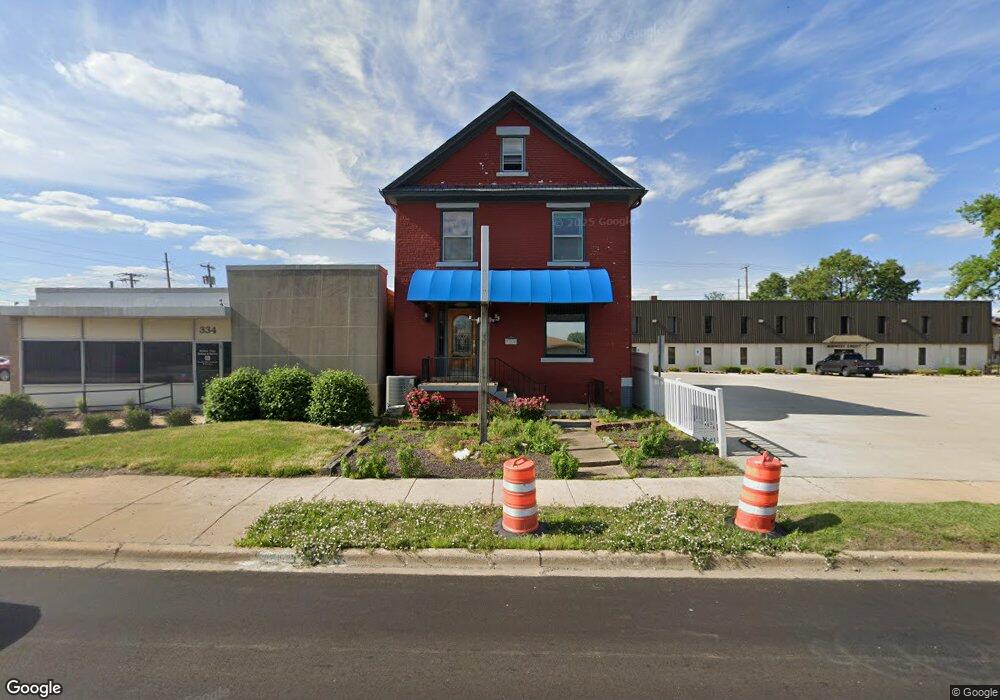
328 W Eldorado St Decatur, IL 62522
Estimated Value: $56,918
--
Bed
--
Bath
--
Sq Ft
4,356
Sq Ft Lot
About This Home
This home is located at 328 W Eldorado St, Decatur, IL 62522 and is currently estimated at $56,918. 328 W Eldorado St is a home located in Macon County with nearby schools including Dennis Lab School, St. Patrick School, and Teen Challenge-Home For Girls.
Ownership History
Date
Name
Owned For
Owner Type
Purchase Details
Closed on
Jul 12, 2023
Sold by
Clark Susan B
Bought by
Tholen Jeffrey J and Soto Vannessa V
Current Estimated Value
Home Financials for this Owner
Home Financials are based on the most recent Mortgage that was taken out on this home.
Original Mortgage
$40,000
Outstanding Balance
$24,313
Interest Rate
6.79%
Mortgage Type
New Conventional
Estimated Equity
$32,605
Purchase Details
Closed on
Apr 1, 2003
Create a Home Valuation Report for This Property
The Home Valuation Report is an in-depth analysis detailing your home's value as well as a comparison with similar homes in the area
Home Values in the Area
Average Home Value in this Area
Purchase History
| Date | Buyer | Sale Price | Title Company |
|---|---|---|---|
| Tholen Jeffrey J | -- | None Listed On Document | |
| -- | $52,000 | -- |
Source: Public Records
Mortgage History
| Date | Status | Borrower | Loan Amount |
|---|---|---|---|
| Open | Tholen Jeffrey J | $40,000 |
Source: Public Records
Tax History Compared to Growth
Tax History
| Year | Tax Paid | Tax Assessment Tax Assessment Total Assessment is a certain percentage of the fair market value that is determined by local assessors to be the total taxable value of land and additions on the property. | Land | Improvement |
|---|---|---|---|---|
| 2024 | $2,554 | $26,383 | $3,966 | $22,417 |
| 2023 | $2,533 | $25,449 | $3,826 | $21,623 |
| 2022 | $2,450 | $23,957 | $3,540 | $20,417 |
| 2021 | $2,302 | $22,374 | $3,306 | $19,068 |
| 2020 | $2,269 | $21,335 | $3,152 | $18,183 |
| 2019 | $2,269 | $21,335 | $3,152 | $18,183 |
| 2018 | $2,249 | $21,405 | $3,162 | $18,243 |
| 2017 | $2,302 | $21,976 | $3,246 | $18,730 |
| 2016 | $2,346 | $22,200 | $3,279 | $18,921 |
| 2015 | $2,229 | $21,807 | $3,221 | $18,586 |
| 2014 | $2,235 | $23,313 | $4,911 | $18,402 |
| 2013 | $2,309 | $24,188 | $5,095 | $19,093 |
Source: Public Records
Map
Nearby Homes
- 330 W William St
- 415 W Green St
- 422 W William St
- 844 N Edward St
- 233 N Edward St
- 366 W Prairie Ave
- 875 N Monroe St
- 442 W Prairie Ave
- 452 W Prairie Ave
- 281 W Prairie Ave
- 609 W William St
- 320 W Main St
- 135 E Prairie Ave Unit 1-4
- 254 N Pine St
- 717 W Prairie Ave Unit 2
- 450 W Macon St
- 440 W Macon St
- 141 E Packard St
- 657 W Wood St
- 612 W Macon St
- 306 W Eldorado St
- 390 W Eldorado St
- 305 W Cerro Gordo St
- 345 W Eldorado St
- 320 W Cerro Gordo St
- 243 W Cerro Gordo St
- 302* W Cerro Gordo St
- 312 W Cerro Gordo St Unit 302
- 312 W Cerro Gordo St
- 344 W Cerro Gordo St
- 302 W Cerro Gordo St
- 360 W North St
- 250 W Cerro Gordo St
- 352 W North St
- 425 N Edward St
- 224 W Eldorado St
- 242 W Cerro Gordo St
- 201 W Eldorado St
- 561 N Church St
- 224 W Cerro Gordo St