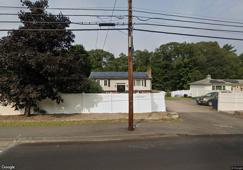
32A Holliston St Medway, MA 02053
Estimated Value: $608,000 - $668,684
3
Beds
2
Baths
2,376
Sq Ft
$266/Sq Ft
Est. Value
About This Home
This home is located at 32A Holliston St, Medway, MA 02053 and is currently estimated at $631,171, approximately $265 per square foot. 32A Holliston St is a home located in Norfolk County with nearby schools including John D. McGovern Elementary School, Burke-Memorial Elementary, and Medway Middle School.
Ownership History
Date
Name
Owned For
Owner Type
Purchase Details
Closed on
Sep 4, 2001
Sold by
Keefe Timothy J and Keefe Robin M
Bought by
Pagliazzo Anthony C and Pagliazzo Pauline L
Current Estimated Value
Home Financials for this Owner
Home Financials are based on the most recent Mortgage that was taken out on this home.
Original Mortgage
$227,920
Outstanding Balance
$89,329
Interest Rate
7.06%
Mortgage Type
Purchase Money Mortgage
Estimated Equity
$541,842
Purchase Details
Closed on
Jul 31, 1998
Sold by
Gdalevich Lisa
Bought by
Keefe Timothy J and Keefe Robin M
Home Financials for this Owner
Home Financials are based on the most recent Mortgage that was taken out on this home.
Original Mortgage
$160,000
Interest Rate
6.92%
Mortgage Type
Purchase Money Mortgage
Create a Home Valuation Report for This Property
The Home Valuation Report is an in-depth analysis detailing your home's value as well as a comparison with similar homes in the area
Home Values in the Area
Average Home Value in this Area
Purchase History
| Date | Buyer | Sale Price | Title Company |
|---|---|---|---|
| Pagliazzo Anthony C | $284,900 | -- | |
| Keefe Timothy J | $179,900 | -- | |
| Keefe Timothy J | $179,900 | -- |
Source: Public Records
Mortgage History
| Date | Status | Borrower | Loan Amount |
|---|---|---|---|
| Open | Keefe Timothy J | $68,000 | |
| Open | Pagliazzo Anthony C | $227,920 | |
| Closed | Keefe Timothy J | $38,080 | |
| Previous Owner | Keefe Timothy J | $160,000 |
Source: Public Records
Tax History Compared to Growth
Tax History
| Year | Tax Paid | Tax Assessment Tax Assessment Total Assessment is a certain percentage of the fair market value that is determined by local assessors to be the total taxable value of land and additions on the property. | Land | Improvement |
|---|---|---|---|---|
| 2025 | $8,335 | $584,900 | $273,100 | $311,800 |
| 2024 | $8,423 | $584,900 | $273,100 | $311,800 |
| 2023 | $8,534 | $535,400 | $235,300 | $300,100 |
| 2022 | $7,691 | $454,300 | $210,100 | $244,200 |
| 2021 | $7,663 | $438,900 | $189,100 | $249,800 |
| 2020 | $7,233 | $413,300 | $168,100 | $245,200 |
| 2019 | $6,584 | $388,000 | $168,100 | $219,900 |
| 2018 | $6,402 | $362,500 | $147,000 | $215,500 |
| 2017 | $5,792 | $323,200 | $136,500 | $186,700 |
| 2016 | $5,763 | $318,200 | $131,500 | $186,700 |
| 2015 | $5,640 | $309,200 | $123,900 | $185,300 |
| 2014 | $5,245 | $278,400 | $121,100 | $157,300 |
Source: Public Records
Map
Nearby Homes
- 20 Broad St Unit 6
- 20 Broad St Unit A
- 20 Broad St Unit 4
- 14 Sanford St Unit 15
- 9 Sanford St
- 50 Main St
- 3 Meryl St
- 22 Sunset Dr
- 280 Village St Unit D2
- 4 Shaw St
- 106 Holliston St
- 841 Lincoln St
- 12 Lovering St
- 14 Heritage Dr
- 7 Gloucester Dr
- 36 Lovering St
- 0 Elm St
- 56 Fuller Place
- 28 Wellington St
- 176 Main St Unit 3
- 32 Holliston St
- 34 Holliston St
- 36 Holliston St
- 36 Holliston St Unit 1
- 33 Holliston St
- 38 Holliston St
- 39 Holliston St
- 2 Kenart Rd
- 1 Fuller Brook Rd
- 30 Holliston St
- 4 Kenart Rd
- 37 Holliston St
- 29 Holliston St
- 4 Fuller Brook Rd
- 41 Holliston St
- 28 Holliston St
- 3 Fuller Brook Rd
- 6 Kenart Rd
- 40 Holliston St
- 25 Holliston St