33 Shady Ln Boyertown, PA 19512
Estimated Value: $383,000 - $771,000
3
Beds
1
Bath
4,687
Sq Ft
$120/Sq Ft
Est. Value
About This Home
This home is located at 33 Shady Ln, Boyertown, PA 19512 and is currently estimated at $562,802, approximately $120 per square foot. 33 Shady Ln is a home located in Berks County with nearby schools including Boyertown Area Senior High School.
Ownership History
Date
Name
Owned For
Owner Type
Purchase Details
Closed on
Aug 25, 2008
Sold by
Wcrsi Llc
Bought by
Stehman Ii Ethan A
Current Estimated Value
Purchase Details
Closed on
Jan 8, 2008
Sold by
Bissinger Thomas E and Bissinger Mary J
Bought by
Wcrsi Llc
Purchase Details
Closed on
Sep 19, 2002
Sold by
Grau Madeline H and Brooks Mary
Bought by
Bissinger Thomas E and Bissinger Mary J
Home Financials for this Owner
Home Financials are based on the most recent Mortgage that was taken out on this home.
Original Mortgage
$76,000
Interest Rate
5.71%
Create a Home Valuation Report for This Property
The Home Valuation Report is an in-depth analysis detailing your home's value as well as a comparison with similar homes in the area
Home Values in the Area
Average Home Value in this Area
Purchase History
| Date | Buyer | Sale Price | Title Company |
|---|---|---|---|
| Stehman Ii Ethan A | $110,000 | None Available | |
| Wcrsi Llc | $3,000 | None Available | |
| Bissinger Thomas E | $76,000 | First American Title Ins Co |
Source: Public Records
Mortgage History
| Date | Status | Borrower | Loan Amount |
|---|---|---|---|
| Previous Owner | Bissinger Thomas E | $76,000 |
Source: Public Records
Tax History Compared to Growth
Tax History
| Year | Tax Paid | Tax Assessment Tax Assessment Total Assessment is a certain percentage of the fair market value that is determined by local assessors to be the total taxable value of land and additions on the property. | Land | Improvement |
|---|---|---|---|---|
| 2025 | $2,096 | $232,600 | $54,900 | $177,700 |
| 2024 | $9,109 | $232,600 | $54,900 | $177,700 |
| 2023 | $8,740 | $232,600 | $54,900 | $177,700 |
| 2022 | $8,537 | $232,600 | $54,900 | $177,700 |
| 2021 | $8,340 | $232,600 | $54,900 | $177,700 |
| 2020 | $8,138 | $232,600 | $54,900 | $177,700 |
| 2019 | $7,915 | $232,600 | $54,900 | $177,700 |
| 2018 | $7,601 | $232,600 | $54,900 | $177,700 |
| 2017 | $7,360 | $232,600 | $54,900 | $177,700 |
| 2016 | $1,680 | $232,600 | $54,900 | $177,700 |
| 2015 | $1,680 | $232,600 | $54,900 | $177,700 |
| 2014 | $1,680 | $232,600 | $54,900 | $177,700 |
Source: Public Records
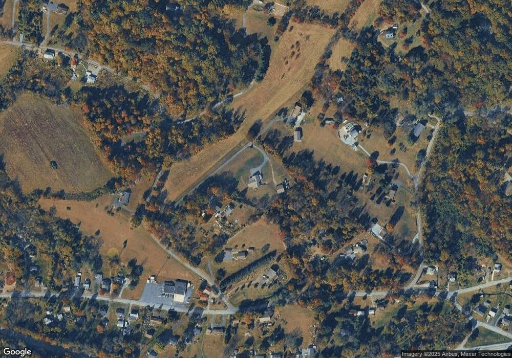
Map
Nearby Homes
- 16 Kristine Ave
- 12 Lehland Dr
- 483 Water St
- 190 Red Oak Dr
- 0 Rte 73 Unit PABK2041020
- 454 Landis Store Rd
- 454 Landis Rd
- 2131 Weisstown Rd
- 1028 Weisstown Rd
- 161 Crest Dr
- 201 Henry Ave
- 1034 Manatawny Rd
- 0 Woodchoppertown
- 119 Schaeffer St
- 38 Lutz Rd
- 100 College St
- 332 S Reading Ave
- 151 S Reading Ave
- 1041 Reading Ave
- 0 W Philadelphia Ave
- 31 Shady Ln
- 17 Shady Ln
- 1302 Ironstone Dr
- 35 Shady Ln
- 15 Shady Ln
- 28 Koch Rd
- 1300 Ironstone Dr
- 10 Koch Rd
- 1328 Ironstone Dr
- 32 Shady Ln
- 24 Koch Rd
- 50 Shady Ln
- 1321 Ironstone Dr
- 1329 Ironstone Dr
- 1348 Ironstone Dr
- 32 Koch Rd
- 1517 W Philadelphia Ave
- 1285 Ironstone Dr
- 1341 Ironstone Dr
- 1539 W Philadelphia Ave