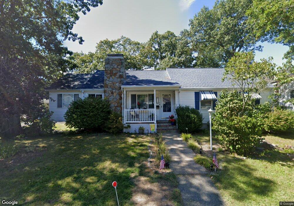
33 Spaulding St Quincy, MA 02169
South Quincy NeighborhoodEstimated Value: $606,000 - $694,000
3
Beds
1
Bath
1,200
Sq Ft
$551/Sq Ft
Est. Value
About This Home
This home is located at 33 Spaulding St, Quincy, MA 02169 and is currently estimated at $661,373, approximately $551 per square foot. 33 Spaulding St is a home located in Norfolk County with nearby schools including Lincoln-Hancock Community School, South West Middle School, and Quincy High School.
Ownership History
Date
Name
Owned For
Owner Type
Purchase Details
Closed on
Apr 23, 2012
Sold by
Fasano David and Fasano Anita
Bought by
Fasano Family Ret
Current Estimated Value
Purchase Details
Closed on
Aug 31, 2010
Sold by
Fasano Ft
Bought by
Fasano David and Fasano Anita
Home Financials for this Owner
Home Financials are based on the most recent Mortgage that was taken out on this home.
Original Mortgage
$150,000
Interest Rate
4.44%
Purchase Details
Closed on
Mar 24, 2004
Sold by
Fasano Anita and Fasano David
Bought by
Fasano Ft Trust and Fasano Anita
Purchase Details
Closed on
Sep 21, 1993
Sold by
Davis Michael L
Bought by
Fasano David and Fasano Anita
Home Financials for this Owner
Home Financials are based on the most recent Mortgage that was taken out on this home.
Original Mortgage
$118,885
Interest Rate
7.16%
Mortgage Type
Purchase Money Mortgage
Create a Home Valuation Report for This Property
The Home Valuation Report is an in-depth analysis detailing your home's value as well as a comparison with similar homes in the area
Home Values in the Area
Average Home Value in this Area
Purchase History
| Date | Buyer | Sale Price | Title Company |
|---|---|---|---|
| Fasano Family Ret | -- | -- | |
| Fasano David | -- | -- | |
| Fasano Ft Trust | -- | -- | |
| Fasano David | $128,000 | -- |
Source: Public Records
Mortgage History
| Date | Status | Borrower | Loan Amount |
|---|---|---|---|
| Previous Owner | Fasano David | $150,000 | |
| Previous Owner | Fasano David | $91,000 | |
| Previous Owner | Fasano David | $116,000 | |
| Previous Owner | Fasano David | $118,885 |
Source: Public Records
Tax History Compared to Growth
Tax History
| Year | Tax Paid | Tax Assessment Tax Assessment Total Assessment is a certain percentage of the fair market value that is determined by local assessors to be the total taxable value of land and additions on the property. | Land | Improvement |
|---|---|---|---|---|
| 2025 | $6,646 | $576,400 | $311,600 | $264,800 |
| 2024 | $6,302 | $559,200 | $296,900 | $262,300 |
| 2023 | $5,869 | $527,300 | $270,200 | $257,100 |
| 2022 | $6,018 | $502,300 | $246,000 | $256,300 |
| 2021 | $5,765 | $474,900 | $246,000 | $228,900 |
| 2020 | $5,465 | $439,700 | $232,200 | $207,500 |
| 2019 | $5,275 | $420,300 | $215,200 | $205,100 |
| 2018 | $5,095 | $381,900 | $196,000 | $185,900 |
| 2017 | $5,035 | $355,300 | $186,800 | $168,500 |
| 2016 | $4,684 | $326,200 | $170,100 | $156,100 |
| 2015 | $4,424 | $303,000 | $160,600 | $142,400 |
| 2014 | $4,381 | $294,800 | $160,600 | $134,200 |
Source: Public Records
Map
Nearby Homes
- 200 Falls Blvd Unit B305
- 200 Falls Blvd Unit C308
- 15 Bower Rd Unit B5
- 15 Bower Rd Unit A2
- 15 Bower Rd Unit B2
- 25 W Howard St Unit D2
- 19 Keyes St
- 32 Sumner St
- 16 Dartmouth St Unit 16
- 51 Sumner St
- 25 5th Ave
- 934 Southern Artery Unit 109
- 86 Alton Rd
- 166 Phipps St
- 25 John Paul Cir
- 10 Skyline Dr Unit 5
- 41 Broadway
- 26 Lawrence St
- 83 Madison Ave
- 161 Sumner St Unit 2