330 Gun Point Rd Harpswell, ME 04079
Harpswell NeighborhoodEstimated Value: $1,347,049 - $1,892,000
2
Beds
2
Baths
2,820
Sq Ft
$585/Sq Ft
Est. Value
About This Home
This home is located at 330 Gun Point Rd, Harpswell, ME 04079 and is currently estimated at $1,650,350, approximately $585 per square foot. 330 Gun Point Rd is a home located in Cumberland County with nearby schools including Mt Ararat High School.
Ownership History
Date
Name
Owned For
Owner Type
Purchase Details
Closed on
Apr 25, 2019
Sold by
Gay Carol V and Gay Fred D
Bought by
Gay Ft and Gay
Current Estimated Value
Purchase Details
Closed on
Apr 22, 2019
Sold by
Fred D Gay Ret and Gay
Bought by
Gay Carol V and Gay Fred D
Purchase Details
Closed on
Aug 11, 2008
Sold by
Gay Carol V and Gay Fred D
Bought by
Gay Carol V and Gay Fred D
Purchase Details
Closed on
Oct 20, 2005
Sold by
Earle Radcliffe G
Bought by
Gay Carol V
Home Financials for this Owner
Home Financials are based on the most recent Mortgage that was taken out on this home.
Original Mortgage
$0
Interest Rate
6.1%
Mortgage Type
Purchase Money Mortgage
Create a Home Valuation Report for This Property
The Home Valuation Report is an in-depth analysis detailing your home's value as well as a comparison with similar homes in the area
Home Values in the Area
Average Home Value in this Area
Purchase History
| Date | Buyer | Sale Price | Title Company |
|---|---|---|---|
| Gay Ft | -- | -- | |
| Gay Ft | -- | -- | |
| Gay Carol V | -- | -- | |
| Gay Carol V | -- | -- | |
| Gay Carol V | -- | -- | |
| Gay Carol V | -- | -- | |
| Gay Carol V | -- | -- | |
| Gay Carol V | -- | -- | |
| Gay Carol V | -- | -- | |
| Gay Carol V | -- | -- |
Source: Public Records
Mortgage History
| Date | Status | Borrower | Loan Amount |
|---|---|---|---|
| Previous Owner | Gay Carol V | $225,000 | |
| Previous Owner | Gay Carol V | $0 |
Source: Public Records
Tax History Compared to Growth
Tax History
| Year | Tax Paid | Tax Assessment Tax Assessment Total Assessment is a certain percentage of the fair market value that is determined by local assessors to be the total taxable value of land and additions on the property. | Land | Improvement |
|---|---|---|---|---|
| 2024 | $7,187 | $1,130,000 | $387,700 | $742,300 |
| 2023 | $7,004 | $1,148,200 | $387,700 | $760,500 |
| 2022 | $6,774 | $1,148,200 | $387,700 | $760,500 |
| 2021 | $6,342 | $938,200 | $394,600 | $543,600 |
| 2020 | $6,323 | $938,200 | $394,600 | $543,600 |
| 2019 | $6,286 | $938,200 | $394,600 | $543,600 |
| 2018 | $6,080 | $938,200 | $394,600 | $543,600 |
| 2017 | $6,061 | $938,200 | $394,600 | $543,600 |
| 2016 | $6,004 | $938,200 | $394,600 | $543,600 |
| 2015 | $5,854 | $938,200 | $394,600 | $543,600 |
| 2013 | $5,423 | $938,200 | $394,600 | $543,600 |
Source: Public Records
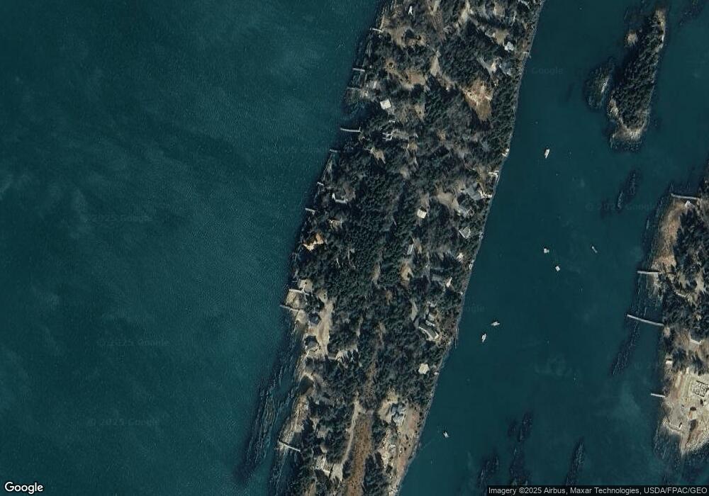
Map
Nearby Homes
- 20 Long Point Island
- 0 Bayview Rd Unit 2 1632776
- lot C Long Point Rd
- 1689 Harpswell Islands Rd
- 87 Lowells Cove Rd
- Lot 2A Allen Point Rd
- Lot 2B Allen Point Rd
- 30 Osbourne Row
- 205 W Cundys Point
- 1 Mallard Pond Rd
- 41 Spruce Brook Dr
- Lot 129 Harpswell Neck Rd
- 11 Orion Point Way
- 10 Irene Ave
- 943 Cundys Harbor Rd
- 1450 Harpswell Neck Rd
- 136 Bethel Point Rd
- 16 Ash Point Rd Unit 16
- 18 Ash Point Rd
- 10 S Colony Branch Rd
- 318 Gun Point Rd
- 8 Laurier St
- 316 Gun Point Rd
- 7 Laurier St
- 312 Gun Point Rd
- 317 Gun Point Rd
- 5 Laurier St
- 308 Gun Point Rd
- 323 Gun Point Rd
- 309 Gun Point Rd
- 304 Gun Point Rd
- 327 Gun Point Rd
- 298 Gun Point Rd
- 2 Creek View Rd
- 5 Creek View Rd
- 5 Creek View Rd
- 346 Gun Point Rd
- 329 Gun Point Rd
- 307 Gun Point Rd
- 294 Gun Point Rd