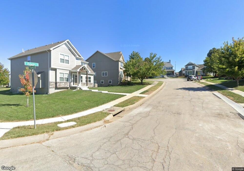
330 S Adams St Raymore, MO 64083
Estimated Value: $392,000 - $413,000
4
Beds
3
Baths
2,362
Sq Ft
$171/Sq Ft
Est. Value
About This Home
This home is located at 330 S Adams St, Raymore, MO 64083 and is currently estimated at $403,478, approximately $170 per square foot. 330 S Adams St is a home located in Cass County with nearby schools including Raymore Elementary School, Raymore-Peculiar East Middle School, and Raymore-Peculiar Senior High School.
Ownership History
Date
Name
Owned For
Owner Type
Purchase Details
Closed on
Apr 21, 2010
Sold by
Hill Jennifer J
Bought by
Hill John K
Current Estimated Value
Purchase Details
Closed on
Mar 21, 2006
Sold by
Richard Mather Builders Inc
Bought by
Hill John K and Hill Jennifer J
Home Financials for this Owner
Home Financials are based on the most recent Mortgage that was taken out on this home.
Original Mortgage
$168,356
Outstanding Balance
$94,292
Interest Rate
6.21%
Mortgage Type
New Conventional
Estimated Equity
$309,186
Create a Home Valuation Report for This Property
The Home Valuation Report is an in-depth analysis detailing your home's value as well as a comparison with similar homes in the area
Home Values in the Area
Average Home Value in this Area
Purchase History
| Date | Buyer | Sale Price | Title Company |
|---|---|---|---|
| Hill John K | -- | -- | |
| Hill John K | -- | -- |
Source: Public Records
Mortgage History
| Date | Status | Borrower | Loan Amount |
|---|---|---|---|
| Open | Hill John K | $168,356 |
Source: Public Records
Tax History Compared to Growth
Tax History
| Year | Tax Paid | Tax Assessment Tax Assessment Total Assessment is a certain percentage of the fair market value that is determined by local assessors to be the total taxable value of land and additions on the property. | Land | Improvement |
|---|---|---|---|---|
| 2025 | $3,993 | $55,540 | $4,890 | $50,650 |
| 2024 | $3,993 | $49,060 | $4,440 | $44,620 |
| 2023 | $3,987 | $49,060 | $4,440 | $44,620 |
| 2022 | $3,534 | $43,200 | $4,440 | $38,760 |
| 2021 | $3,535 | $43,200 | $4,440 | $38,760 |
| 2020 | $3,537 | $42,460 | $4,440 | $38,020 |
| 2019 | $3,414 | $42,460 | $4,440 | $38,020 |
| 2018 | $3,101 | $37,240 | $3,700 | $33,540 |
| 2017 | $2,842 | $37,240 | $3,700 | $33,540 |
| 2016 | $2,842 | $35,430 | $3,700 | $31,730 |
| 2015 | $2,844 | $35,430 | $3,700 | $31,730 |
| 2014 | $2,846 | $35,430 | $3,700 | $31,730 |
| 2013 | -- | $35,430 | $3,700 | $31,730 |
Source: Public Records
Map
Nearby Homes
- 605 S Franklin St
- 512 S Washington St
- 507 S Washington St
- 528 S Saturn Dr
- 526 S Saturn Dr
- 808 Clancy Ct
- 302 E Olive St
- 901 W Lucy Webb Rd
- 700 E Saturn Dr
- 0 Rd Unit HMS2556766
- 0 J Hwy & Lucy Webb Rd Unit HMS2556862
- 204 N Pointe Ln
- 112 W Grant Dr
- 105 N Lakeshore Dr
- 222 N Madison St
- 108 Rainbow Cir
- 221 N Pointe Ln
- 1108 Yokley Dr
- 1112 Carlisle Dr
- Lot 12 Municipal Cir