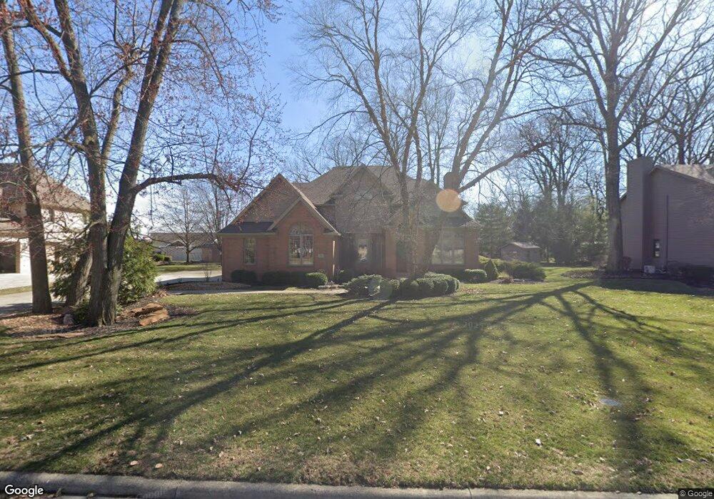
3301 Pepper Pike Findlay, OH 45840
Estimated Value: $458,000 - $508,000
4
Beds
3
Baths
2,434
Sq Ft
$202/Sq Ft
Est. Value
About This Home
This home is located at 3301 Pepper Pike, Findlay, OH 45840 and is currently estimated at $491,852, approximately $202 per square foot. 3301 Pepper Pike is a home located in Hancock County with nearby schools including Liberty-Benton Elementary School, Liberty-Benton Middle School, and Liberty-Benton High School.
Ownership History
Date
Name
Owned For
Owner Type
Purchase Details
Closed on
Apr 18, 1991
Bought by
Beach Dwayne E & Candace L
Current Estimated Value
Purchase Details
Closed on
Aug 30, 1990
Bought by
Houck Houck L and Houck Cynthia L
Purchase Details
Closed on
Oct 25, 1989
Bought by
Hoots Martha June
Purchase Details
Closed on
May 11, 1989
Bought by
Houck L Brent
Purchase Details
Closed on
Apr 12, 1988
Bought by
Findlay Hillcrest Golf Crs
Create a Home Valuation Report for This Property
The Home Valuation Report is an in-depth analysis detailing your home's value as well as a comparison with similar homes in the area
Home Values in the Area
Average Home Value in this Area
Purchase History
| Date | Buyer | Sale Price | Title Company |
|---|---|---|---|
| Beach Dwayne E & Candace L | $30,500 | -- | |
| Houck Houck L | $29,000 | -- | |
| Hoots Martha June | $26,600 | -- | |
| Houck L Brent | -- | -- | |
| Findlay Hillcrest Golf Crs | -- | -- |
Source: Public Records
Tax History Compared to Growth
Tax History
| Year | Tax Paid | Tax Assessment Tax Assessment Total Assessment is a certain percentage of the fair market value that is determined by local assessors to be the total taxable value of land and additions on the property. | Land | Improvement |
|---|---|---|---|---|
| 2024 | $5,833 | $156,930 | $19,230 | $137,700 |
| 2023 | $5,696 | $156,930 | $19,230 | $137,700 |
| 2022 | $5,640 | $156,930 | $19,230 | $137,700 |
| 2021 | $5,295 | $130,050 | $19,230 | $110,820 |
| 2020 | $5,340 | $130,050 | $19,230 | $110,820 |
| 2019 | $5,123 | $130,050 | $19,230 | $110,820 |
| 2018 | $4,445 | $124,550 | $13,730 | $110,820 |
| 2017 | $4,586 | $124,550 | $13,730 | $110,820 |
| 2016 | $4,802 | $134,760 | $13,730 | $121,030 |
| 2015 | $4,065 | $111,010 | $14,500 | $96,510 |
| 2014 | $4,102 | $111,010 | $14,500 | $96,510 |
| 2012 | $4,283 | $111,010 | $14,500 | $96,510 |
Source: Public Records
Map
Nearby Homes
- 3018 Gleneagle Dr
- 3106 Saddlebrook
- 1405 Cypress Lake
- 1310 Muirfield Dr
- 6535 Silver Lake Dr
- 0 Allen Township 142
- 0 Bushwillow Dr Or Rock Candy Rd Unit Lot 157
- 933 Laurel Ln
- 0 Township Highway 99
- 12325 Township Highway 99
- 0 Rock Candy Rd Or Bushwillow Dr Unit Lot 173
- 0 Bearcat Way Or Rock Candy Rd Unit Lot 167
- 0 Rock Candy Rd Unit Lot 159
- 0 Rock Candy Rd Unit Lot 170
- 0 Rock Candy Rd Unit Lot 172 206819
- 0 Rock Candy Rd Unit Lot 162
- 0 Rock Candy Rd Unit Lot 171
- 0 Rock Candy Rd Unit Lot 168
- 0 County Road 95 Unit 6097574
- 615 Hillcrest Ave
- 3306 Byrnwyck Dr
- 3300 Byrnwyck Dr
- 3316 Byrnwyck Dr
- 3317 Pepper Pike
- 3300 Pepper Pike
- 3219 Pepper Pike
- 3250 Byrnwyck Dr
- 3314 Pepper Pike
- 25 Byrnwyck Dr
- 29 Byrnwyck Dr
- 26 Byrnwyck Dr
- 27 Byrnwyck Dr
- 30 Byrnwyck Dr
- 3242 Byrnwyck Dr
- 1306 Forest Park
- 3325 Pepper Pike
- 3209 Pepper Pike
- 1140 Ironwood Dr
- 1315 Silver Pine Ln
- 3336 Byrnwyck Dr