33046 620th Ave Butterfield, MN 56120
Estimated Value: $420,354 - $490,000
3
Beds
3
Baths
5,400
Sq Ft
$84/Sq Ft
Est. Value
About This Home
This home is located at 33046 620th Ave, Butterfield, MN 56120 and is currently estimated at $455,177, approximately $84 per square foot. 33046 620th Ave is a home located in Watonwan County with nearby schools including Butterfield Elementary School.
Ownership History
Date
Name
Owned For
Owner Type
Purchase Details
Closed on
May 5, 2025
Sold by
Haglund Deanne and The Rich Haglund Disclaimer Trust
Bought by
Kremmin Jason and Kremmin Heather
Current Estimated Value
Home Financials for this Owner
Home Financials are based on the most recent Mortgage that was taken out on this home.
Original Mortgage
$464,000
Outstanding Balance
$462,363
Interest Rate
6.67%
Mortgage Type
New Conventional
Estimated Equity
-$7,186
Create a Home Valuation Report for This Property
The Home Valuation Report is an in-depth analysis detailing your home's value as well as a comparison with similar homes in the area
Home Values in the Area
Average Home Value in this Area
Purchase History
| Date | Buyer | Sale Price | Title Company |
|---|---|---|---|
| Kremmin Jason | $464,000 | -- |
Source: Public Records
Mortgage History
| Date | Status | Borrower | Loan Amount |
|---|---|---|---|
| Open | Kremmin Jason | $464,000 |
Source: Public Records
Tax History Compared to Growth
Tax History
| Year | Tax Paid | Tax Assessment Tax Assessment Total Assessment is a certain percentage of the fair market value that is determined by local assessors to be the total taxable value of land and additions on the property. | Land | Improvement |
|---|---|---|---|---|
| 2025 | $4,552 | $396,400 | $56,000 | $340,400 |
| 2024 | $4,006 | $397,000 | $56,200 | $340,800 |
| 2023 | $3,512 | $407,400 | $56,200 | $351,200 |
| 2022 | $2,814 | $327,000 | $55,600 | $271,400 |
| 2021 | $2,604 | $245,700 | $28,400 | $217,300 |
| 2020 | $2,864 | $251,600 | $28,400 | $223,200 |
| 2019 | $3,070 | $257,300 | $28,400 | $228,900 |
| 2018 | $1,886 | $257,800 | $28,200 | $229,600 |
| 2016 | $1,646 | $267,500 | $27,700 | $239,800 |
| 2014 | -- | $239,700 | $25,600 | $214,100 |
Source: Public Records
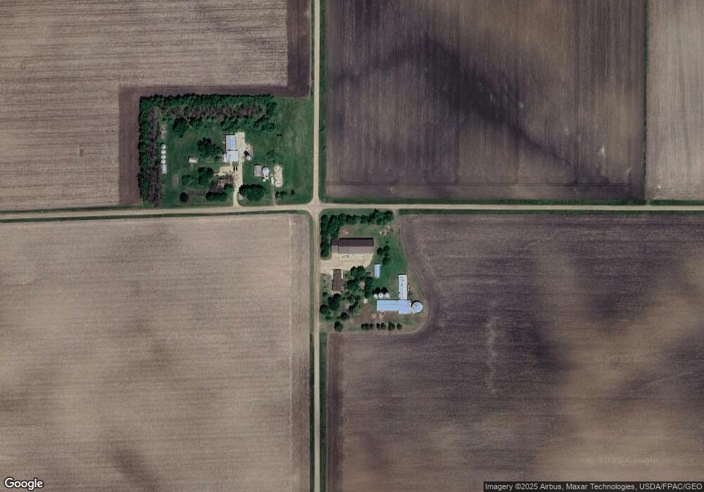
Map
Nearby Homes
- 201 2nd St N
- 311 2nd St N
- 325 3rd St N
- 525 Elwell Ave
- 0 Tbd S Third St Unit TBD Third St S
- 605 13th St N
- 1319 3rd Ave
- 1024 Prince St
- 620 11th St N
- 516 11th St N
- 1011 6th Ave
- 106 12th St N
- 901 Prince St
- 1007 5th Ave
- 1102 Boxelder St
- 311 Sunset Ave
- 713 5th Ave
- 1021 Mountain Lake Rd
- 307 Sunset Ave
- Blk 2 Lot 10 Sunset Avenue-Prairie Ln