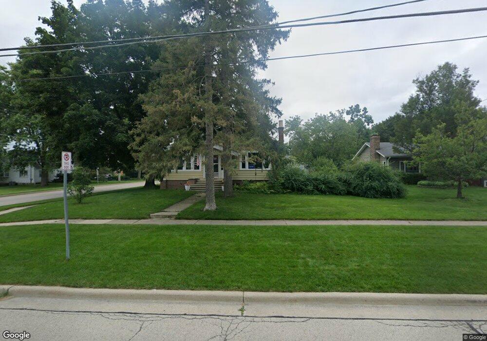
331 S Stewart Ave Libertyville, IL 60048
South Libertyville NeighborhoodEstimated Value: $456,000 - $525,986
3
Beds
2
Baths
1,480
Sq Ft
$326/Sq Ft
Est. Value
About This Home
This home is located at 331 S Stewart Ave, Libertyville, IL 60048 and is currently estimated at $482,247, approximately $325 per square foot. 331 S Stewart Ave is a home located in Lake County with nearby schools including Rockland Elementary School, Highland Middle School, and Libertyville High School.
Ownership History
Date
Name
Owned For
Owner Type
Purchase Details
Closed on
Nov 23, 2011
Sold by
Ochsner Vineta
Bought by
Suttie William and Suttie Katie
Current Estimated Value
Home Financials for this Owner
Home Financials are based on the most recent Mortgage that was taken out on this home.
Original Mortgage
$190,000
Outstanding Balance
$130,123
Interest Rate
4.11%
Mortgage Type
New Conventional
Estimated Equity
$352,124
Create a Home Valuation Report for This Property
The Home Valuation Report is an in-depth analysis detailing your home's value as well as a comparison with similar homes in the area
Home Values in the Area
Average Home Value in this Area
Purchase History
| Date | Buyer | Sale Price | Title Company |
|---|---|---|---|
| Suttie William | $200,000 | Baird & Warner Title Service |
Source: Public Records
Mortgage History
| Date | Status | Borrower | Loan Amount |
|---|---|---|---|
| Open | Suttie William | $190,000 |
Source: Public Records
Tax History Compared to Growth
Tax History
| Year | Tax Paid | Tax Assessment Tax Assessment Total Assessment is a certain percentage of the fair market value that is determined by local assessors to be the total taxable value of land and additions on the property. | Land | Improvement |
|---|---|---|---|---|
| 2024 | $9,516 | $136,786 | $89,972 | $46,814 |
| 2023 | $9,272 | $126,163 | $82,985 | $43,178 |
| 2022 | $9,272 | $121,933 | $79,762 | $42,171 |
| 2021 | $8,924 | $119,308 | $78,045 | $41,263 |
| 2020 | $9,164 | $124,789 | $81,631 | $43,158 |
| 2019 | $8,936 | $123,603 | $80,855 | $42,748 |
| 2018 | $7,156 | $103,454 | $80,186 | $23,268 |
| 2017 | $7,053 | $100,187 | $77,654 | $22,533 |
| 2016 | $6,810 | $112,997 | $73,627 | $39,370 |
| 2015 | $8,106 | $105,615 | $68,817 | $36,798 |
| 2014 | $5,095 | $67,297 | $43,851 | $23,446 |
| 2012 | $4,662 | $67,880 | $44,231 | $23,649 |
Source: Public Records
Map
Nearby Homes
- 1754 Glenmore Rd
- 308 Mckinley Ave
- 426 S Milwaukee Ave
- 423 Ames St
- 0 Ames St
- 551 W Park Ave Unit E
- 212 Elm Ct
- 401 S 4th Ave
- 112 3rd St
- 217 E Church St
- 121 4th St
- 505 Lange Ct
- 420 W Cook Ave
- 747 Garfield Ave Unit C
- 700 E Sunnyside Ave
- 533 Drake St
- 601 Broadway St
- 777 Garfield Ave Unit A
- 851 Garfield Ave Unit C
- 785 Meadow Ln
- 325 S Stewart Ave
- 220 W Lincoln Ave
- 319 S Stewart Ave
- 222 W Lincoln Ave
- 203 W Lincoln Ave
- 203 W Lincoln Ave Unit 2
- 315 S Stewart Ave
- 172 W Lincoln Ave
- 228 W Lincoln Ave
- 322 S Stewart Ave
- 209 W Lincoln Ave
- 0 S Unit MRD10877151
- 315 & 335 St Mary's Rd
- 0 Hickory Dr Unit MRD11459302
- 15130 Little St Mary's Rd
- 31440 N Ranch Rd
- LOT 7 N Three Oaks Ln
- LOT 5 N Three Oaks Ln
- LOT 3 N Three Oaks Ln
- LOT 2 N Three Oaks Ln