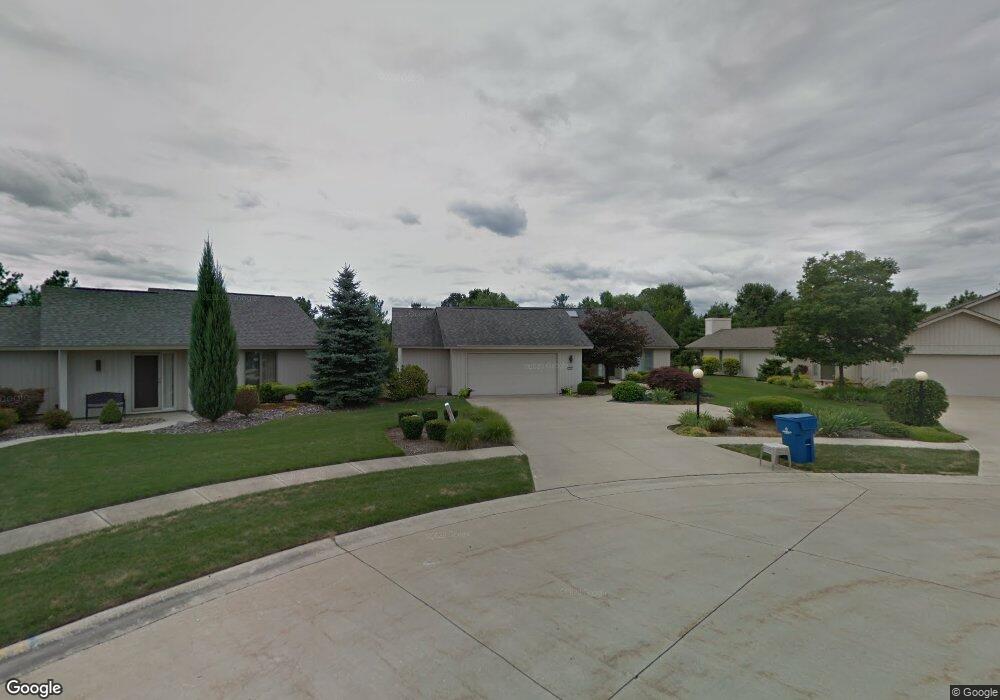
33145 Hawks Nest Ct North Ridgeville, OH 44039
Estimated Value: $409,000 - $434,000
2
Beds
2
Baths
2,134
Sq Ft
$196/Sq Ft
Est. Value
About This Home
This home is located at 33145 Hawks Nest Ct, North Ridgeville, OH 44039 and is currently estimated at $418,506, approximately $196 per square foot. 33145 Hawks Nest Ct is a home located in Lorain County with nearby schools including North Ridgeville Academic Center, Ranger High Tech Academy, and Liberty Elementary School.
Ownership History
Date
Name
Owned For
Owner Type
Purchase Details
Closed on
Jan 16, 2003
Sold by
Bob Schmitt Homes Inc
Bought by
Gant Donald J and Gant Kathi L
Current Estimated Value
Home Financials for this Owner
Home Financials are based on the most recent Mortgage that was taken out on this home.
Original Mortgage
$262,000
Outstanding Balance
$112,668
Interest Rate
6.13%
Mortgage Type
VA
Estimated Equity
$305,838
Create a Home Valuation Report for This Property
The Home Valuation Report is an in-depth analysis detailing your home's value as well as a comparison with similar homes in the area
Home Values in the Area
Average Home Value in this Area
Purchase History
| Date | Buyer | Sale Price | Title Company |
|---|---|---|---|
| Gant Donald J | $268,500 | Multiple | |
| Bob Schmitt Homes Inc | -- | Multiple |
Source: Public Records
Mortgage History
| Date | Status | Borrower | Loan Amount |
|---|---|---|---|
| Open | Gant Donald J | $262,000 |
Source: Public Records
Tax History Compared to Growth
Tax History
| Year | Tax Paid | Tax Assessment Tax Assessment Total Assessment is a certain percentage of the fair market value that is determined by local assessors to be the total taxable value of land and additions on the property. | Land | Improvement |
|---|---|---|---|---|
| 2024 | $5,698 | $121,419 | $36,383 | $85,036 |
| 2023 | $4,647 | $89,593 | $27,458 | $62,136 |
| 2022 | $4,194 | $89,593 | $27,458 | $62,136 |
| 2021 | $4,210 | $89,593 | $27,458 | $62,136 |
| 2020 | $3,967 | $79,220 | $24,280 | $54,940 |
| 2019 | $3,960 | $79,220 | $24,280 | $54,940 |
| 2018 | $3,960 | $79,220 | $24,280 | $54,940 |
| 2017 | $4,195 | $77,860 | $25,030 | $52,830 |
| 2016 | $4,260 | $77,860 | $25,030 | $52,830 |
| 2015 | $4,321 | $77,860 | $25,030 | $52,830 |
| 2014 | $4,438 | $77,860 | $25,030 | $52,830 |
| 2013 | $4,481 | $77,860 | $25,030 | $52,830 |
Source: Public Records
Map
Nearby Homes
- 8863 Riverwood Dr
- 9032 Riverwood Dr
- 9113 Riverwood Dr
- 9129 Riverwood Dr
- S/L 31 Brookside Ln
- 34286 Brookside Ln
- S/L 46 Brookside Ln
- 32715 Deerspring Ct
- S/L 33 Brookside Ln
- 8665 Gatewood Dr
- 0 Bagley Rd
- 0 V L Schady Rd Unit 5163658
- 29097 Pembrooke Blvd
- 29090 Pembrooke Blvd
- 35221 Chestnut Ridge Rd
- 7865 Bliss Pkwy
- 33700 Henwell Rd
- 32801 Lorain Rd
- 34645 Dye Rd
- 8481 Jennings Rd
- 33153 Hawks Nest Ct
- 33137 Hawks Nest Ct
- 33162 Eagles Glen Ct
- 33154 Eagles Glen Ct
- 33144 Hawks Nest Ct
- 33129 Hawks Nest Ct
- 33170 Eagles Glen Ct
- 33146 Eagles Glen Ct
- 33136 Hawks Nest Ct
- 33121 Hawks Nest Ct
- 33128 Hawks Nest Ct
- 33138 Eagles Glen Ct
- 9169 Root Rd
- 33120 Hawks Nest Ct
- 9157 Root Rd
- 33179 Eagles Glen Ct
- 33130 Eagles Glen Ct
- 33113 Hawks Nest Ct
- 9181 Root Rd
- 33112 Hawks Nest Ct