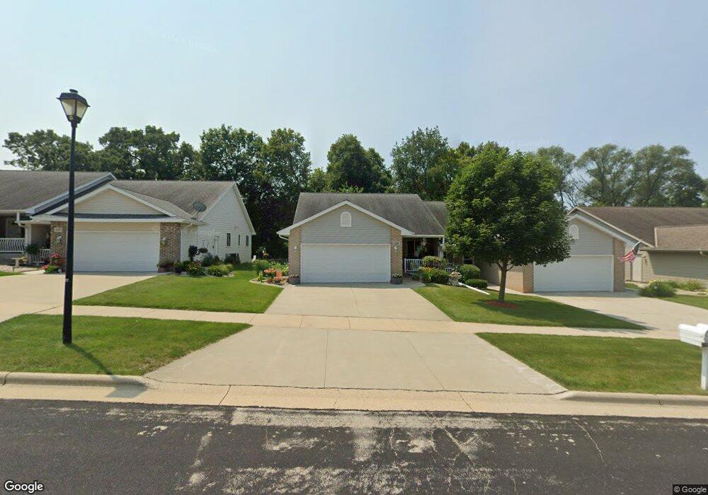
332 Lauren Ln Watertown, WI 53094
Estimated Value: $268,685 - $307,000
--
Bed
--
Bath
--
Sq Ft
5,140
Sq Ft Lot
About This Home
This home is located at 332 Lauren Ln, Watertown, WI 53094 and is currently estimated at $289,171. 332 Lauren Ln is a home located in Jefferson County with nearby schools including Watertown High School, eCampus Academy Charter School, and Trinity-St. Luke's Lutheran Elementary School.
Ownership History
Date
Name
Owned For
Owner Type
Purchase Details
Closed on
Jul 21, 2016
Sold by
Dorn Randall G
Bought by
Dorn Michael and Dorn Nathanial
Current Estimated Value
Purchase Details
Closed on
Aug 11, 2006
Sold by
Lauren Lane Llc
Bought by
Dorn Randall G
Home Financials for this Owner
Home Financials are based on the most recent Mortgage that was taken out on this home.
Original Mortgage
$169,900
Outstanding Balance
$102,116
Interest Rate
6.78%
Mortgage Type
Purchase Money Mortgage
Estimated Equity
$187,055
Create a Home Valuation Report for This Property
The Home Valuation Report is an in-depth analysis detailing your home's value as well as a comparison with similar homes in the area
Home Values in the Area
Average Home Value in this Area
Purchase History
| Date | Buyer | Sale Price | Title Company |
|---|---|---|---|
| Dorn Michael | -- | None Available | |
| Dorn Randall G | $171,200 | None Available |
Source: Public Records
Mortgage History
| Date | Status | Borrower | Loan Amount |
|---|---|---|---|
| Open | Dorn Randall G | $169,900 |
Source: Public Records
Tax History Compared to Growth
Tax History
| Year | Tax Paid | Tax Assessment Tax Assessment Total Assessment is a certain percentage of the fair market value that is determined by local assessors to be the total taxable value of land and additions on the property. | Land | Improvement |
|---|---|---|---|---|
| 2024 | $3,828 | $257,100 | $20,000 | $237,100 |
| 2023 | $3,759 | $212,300 | $20,000 | $192,300 |
| 2022 | $3,572 | $212,300 | $20,000 | $192,300 |
| 2021 | $3,960 | $164,000 | $20,000 | $144,000 |
| 2020 | $3,992 | $164,000 | $20,000 | $144,000 |
| 2019 | $3,875 | $164,000 | $20,000 | $144,000 |
| 2018 | $3,789 | $164,000 | $20,000 | $144,000 |
| 2017 | $3,638 | $164,000 | $20,000 | $144,000 |
| 2016 | $3,585 | $164,000 | $20,000 | $144,000 |
| 2015 | $3,653 | $164,000 | $20,000 | $144,000 |
| 2014 | $3,703 | $164,000 | $20,000 | $144,000 |
| 2013 | $3,773 | $164,000 | $20,000 | $144,000 |
Source: Public Records
Map
Nearby Homes
- Lt0 Gateway Dr
- 908 Franklin St
- 1507 S 10th St
- 1418 S 9th St
- 1330 S 10th St
- 409 Humboldt St Unit 1
- 1313 Utah St
- 1314 Waldron St
- 1215 Utah St
- 1025 Richards Ave
- 225 E Haven Dr Unit B
- 1402 Richards Ave
- 131 Cedar Ct
- 625 S 12th St
- 623 S 12th St
- 758 Johnson St
- 750 Johnson St
- The Saybrook Plan at Rock River Ridge
- The Atwater Plan at Rock River Ridge
- The Hudson Plan at Rock River Ridge