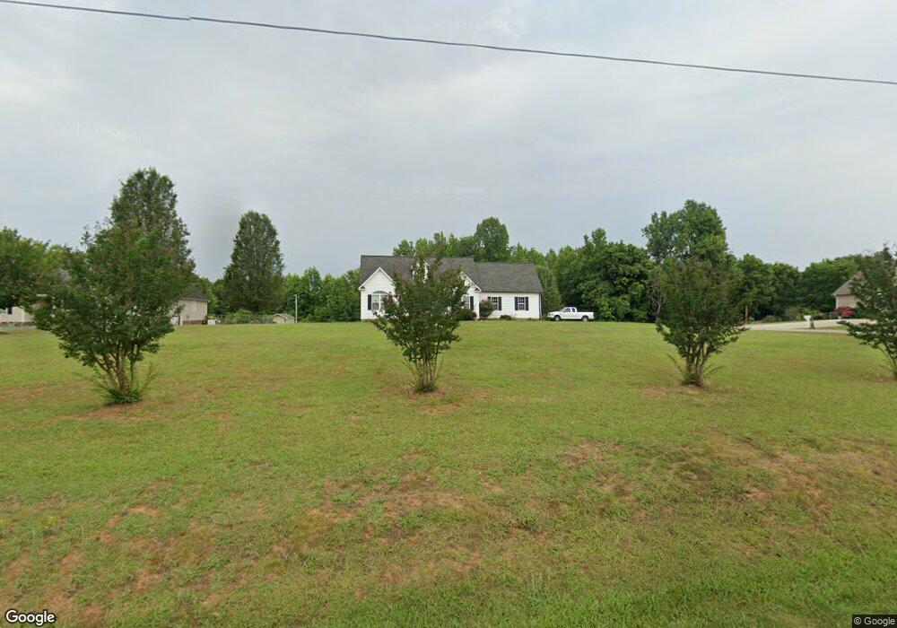
3321 W Fork Dr Asheboro, NC 27205
Estimated Value: $299,953 - $357,000
3
Beds
2
Baths
1,616
Sq Ft
$203/Sq Ft
Est. Value
About This Home
This home is located at 3321 W Fork Dr, Asheboro, NC 27205 and is currently estimated at $327,738, approximately $202 per square foot. 3321 W Fork Dr is a home located in Randolph County with nearby schools including Sycamore Elementary School, Tabernacle Elementary School, and Uwharrie Ridge Six-Twelve.
Ownership History
Date
Name
Owned For
Owner Type
Purchase Details
Closed on
Aug 22, 2007
Sold by
Armond Corp
Bought by
Hetlage Tracy C
Current Estimated Value
Home Financials for this Owner
Home Financials are based on the most recent Mortgage that was taken out on this home.
Original Mortgage
$169,575
Outstanding Balance
$106,818
Interest Rate
6.65%
Mortgage Type
Purchase Money Mortgage
Estimated Equity
$220,920
Create a Home Valuation Report for This Property
The Home Valuation Report is an in-depth analysis detailing your home's value as well as a comparison with similar homes in the area
Home Values in the Area
Average Home Value in this Area
Purchase History
| Date | Buyer | Sale Price | Title Company |
|---|---|---|---|
| Hetlage Tracy C | $178,500 | None Available |
Source: Public Records
Mortgage History
| Date | Status | Borrower | Loan Amount |
|---|---|---|---|
| Open | Hetlage Tracy C | $169,575 |
Source: Public Records
Tax History Compared to Growth
Tax History
| Year | Tax Paid | Tax Assessment Tax Assessment Total Assessment is a certain percentage of the fair market value that is determined by local assessors to be the total taxable value of land and additions on the property. | Land | Improvement |
|---|---|---|---|---|
| 2025 | $1,543 | $233,770 | $39,530 | $194,240 |
| 2024 | $1,520 | $233,770 | $39,530 | $194,240 |
| 2023 | $1,520 | $233,770 | $39,530 | $194,240 |
| 2022 | $1,266 | $161,780 | $23,250 | $138,530 |
| 2021 | $1,266 | $161,780 | $23,250 | $138,530 |
| 2020 | $1,234 | $161,780 | $23,250 | $138,530 |
| 2019 | $1,234 | $161,780 | $23,250 | $138,530 |
| 2018 | $1,145 | $146,330 | $20,740 | $125,590 |
| 2016 | $1,130 | $146,326 | $20,740 | $125,586 |
| 2015 | $1,119 | $146,326 | $20,740 | $125,586 |
| 2014 | $1,110 | $146,326 | $20,740 | $125,586 |
Source: Public Records
Map
Nearby Homes
- 941 Sawyersville Rd
- 0 Gregory Ct
- 1669 Moore Rd
- 5218 Old Lexington Rd
- 4804 Old Lexington Rd
- 388 Back Creek Rd
- 2547 Beechwood Dr
- 2209 Cedarwood Ct
- 2140 Poole Town Rd
- 1746 Taylors Creek Dr
- 1191 Back Creek Rd
- 1559 Allen Ct
- 677 Mount Shepherd Rd
- 0 Nc Highway 49 S Unit 1162269
- 2442 Farmwood Ln
- 4156 Jackson Creek Rd
- 2102 Pleasant Union Rd
- 00 U S Highway 64
- 1564 Walker Rd
- 2087 Old Lexington Rd
- 732 Sawyersville Rd
- 3320 W Fork Dr
- 719 Sawyersville Rd
- 739 Sawyersville Rd
- 686 Sawyersville Rd
- 758 Sawyersville Rd
- 691 Sawyersville Rd
- 662 Sawyersville Rd
- 653 Sawyersville Rd
- 791 Sawyersville Rd
- 642 Sawyersville Rd
- 852 Deer Track Rd
- 855 Deer Track Rd
- 828 Pine Ln
- 608 Sawyersville Rd
- 3713 Stutts Rd
- 861 Pine Ln
- 838 Pine Ln
- 840 Garner Farm Rd
- 563 Sawyersville Rd