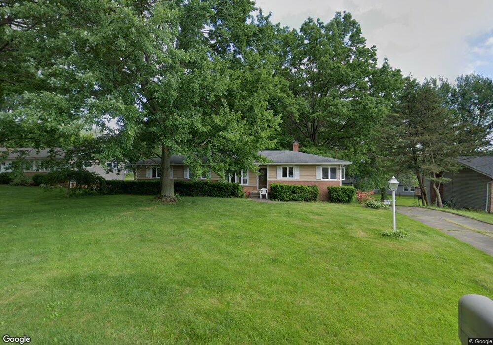
333 Edmore Rd Fairlawn, OH 44333
Estimated Value: $263,192 - $350,000
3
Beds
2
Baths
1,557
Sq Ft
$197/Sq Ft
Est. Value
About This Home
This home is located at 333 Edmore Rd, Fairlawn, OH 44333 and is currently estimated at $306,298, approximately $196 per square foot. 333 Edmore Rd is a home located in Summit County with nearby schools including Copley-Fairlawn Middle School, Copley High School, and Fairlawn Lutheran School.
Ownership History
Date
Name
Owned For
Owner Type
Purchase Details
Closed on
Jun 21, 2004
Sold by
Bearer David M and Bearer Judith M
Bought by
Algie Bruce C
Current Estimated Value
Home Financials for this Owner
Home Financials are based on the most recent Mortgage that was taken out on this home.
Original Mortgage
$135,000
Interest Rate
6.46%
Mortgage Type
Purchase Money Mortgage
Purchase Details
Closed on
Feb 13, 1996
Sold by
Offutt Russell T
Bought by
Bearer David M and Bearer Judith M
Home Financials for this Owner
Home Financials are based on the most recent Mortgage that was taken out on this home.
Original Mortgage
$108,000
Interest Rate
7.11%
Mortgage Type
New Conventional
Create a Home Valuation Report for This Property
The Home Valuation Report is an in-depth analysis detailing your home's value as well as a comparison with similar homes in the area
Home Values in the Area
Average Home Value in this Area
Purchase History
| Date | Buyer | Sale Price | Title Company |
|---|---|---|---|
| Algie Bruce C | $180,000 | Land America-Lawyers Title | |
| Bearer David M | $135,000 | -- |
Source: Public Records
Mortgage History
| Date | Status | Borrower | Loan Amount |
|---|---|---|---|
| Closed | Algie Bruce C | $135,000 | |
| Previous Owner | Bearer David M | $108,000 |
Source: Public Records
Tax History Compared to Growth
Tax History
| Year | Tax Paid | Tax Assessment Tax Assessment Total Assessment is a certain percentage of the fair market value that is determined by local assessors to be the total taxable value of land and additions on the property. | Land | Improvement |
|---|---|---|---|---|
| 2025 | $3,062 | $77,127 | $17,525 | $59,602 |
| 2024 | $3,062 | $77,127 | $17,525 | $59,602 |
| 2023 | $3,062 | $77,127 | $17,525 | $59,602 |
| 2022 | $2,796 | $58,209 | $13,178 | $45,031 |
| 2021 | $2,627 | $58,209 | $13,178 | $45,031 |
| 2020 | $2,568 | $58,210 | $13,180 | $45,030 |
| 2019 | $2,758 | $56,030 | $12,520 | $43,510 |
| 2018 | $2,703 | $56,030 | $12,520 | $43,510 |
| 2017 | $2,469 | $56,030 | $12,520 | $43,510 |
| 2016 | $2,467 | $47,890 | $12,520 | $35,370 |
| 2015 | $2,469 | $47,890 | $12,520 | $35,370 |
| 2014 | $2,459 | $47,890 | $12,520 | $35,370 |
| 2013 | $2,398 | $46,780 | $12,520 | $34,260 |
Source: Public Records
Map
Nearby Homes
- 288 Kenridge Rd
- 3143 Morewood Rd
- 342 S Miller Rd
- V/L White Tail Ridge Dr
- 360 Marviel Dr
- 3354 Bancroft Rd
- 3317 Morewood Rd
- 462 Gresham Dr
- 482 Gresham Dr
- 0 Brunsdorph Rd
- 3404 S Smith Rd
- 3340 Willow Ln
- 1012 Bunker Dr Unit 304
- 804 Miramar Ln
- 3475 Bancroft Rd
- 2520 Holgate Rd
- 595 Moorfield Rd
- 278 Chestnut Ln
- 3451 Stanley Rd
- 786 Brunsdorph Rd