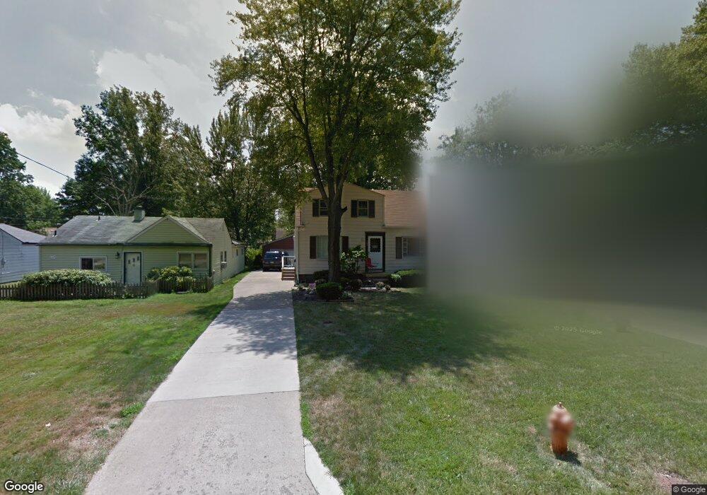
333 Erskine Ave Youngstown, OH 44512
Estimated Value: $137,869 - $147,000
4
Beds
1
Bath
1,296
Sq Ft
$110/Sq Ft
Est. Value
About This Home
This home is located at 333 Erskine Ave, Youngstown, OH 44512 and is currently estimated at $142,467, approximately $109 per square foot. 333 Erskine Ave is a home located in Mahoning County with nearby schools including Boardman Glenwood Junior High School, Boardman High School, and Horizon Science Academy - Youngstown.
Ownership History
Date
Name
Owned For
Owner Type
Purchase Details
Closed on
May 18, 2018
Sold by
Miller Owen H
Bought by
Miller Juliann A
Current Estimated Value
Purchase Details
Closed on
May 10, 2017
Sold by
Miller Over H
Bought by
Miller Juliann A
Purchase Details
Closed on
Aug 26, 2004
Sold by
Miller Juliann A
Bought by
Miller Owen H
Purchase Details
Closed on
Jun 15, 2004
Sold by
Miller Owen H
Bought by
Miller Juliann A
Purchase Details
Closed on
Mar 28, 1988
Bought by
Miller Owen H
Create a Home Valuation Report for This Property
The Home Valuation Report is an in-depth analysis detailing your home's value as well as a comparison with similar homes in the area
Home Values in the Area
Average Home Value in this Area
Purchase History
| Date | Buyer | Sale Price | Title Company |
|---|---|---|---|
| Miller Juliann A | -- | None Available | |
| Miller Juliann A | -- | None Available | |
| Miller Owen H | -- | -- | |
| Miller Juliann A | -- | -- | |
| Miller Owen H | -- | -- |
Source: Public Records
Tax History Compared to Growth
Tax History
| Year | Tax Paid | Tax Assessment Tax Assessment Total Assessment is a certain percentage of the fair market value that is determined by local assessors to be the total taxable value of land and additions on the property. | Land | Improvement |
|---|---|---|---|---|
| 2024 | $1,834 | $35,980 | $4,180 | $31,800 |
| 2023 | $1,810 | $35,980 | $4,180 | $31,800 |
| 2022 | $1,602 | $24,310 | $3,970 | $20,340 |
| 2021 | $1,603 | $24,310 | $3,970 | $20,340 |
| 2020 | $1,611 | $24,310 | $3,970 | $20,340 |
| 2019 | $1,406 | $18,670 | $3,300 | $15,370 |
| 2018 | $662 | $18,670 | $3,300 | $15,370 |
| 2017 | $694 | $18,670 | $3,300 | $15,370 |
| 2016 | $744 | $20,130 | $3,500 | $16,630 |
| 2015 | $729 | $20,130 | $3,500 | $16,630 |
| 2014 | $731 | $20,130 | $3,500 | $16,630 |
| 2013 | $722 | $20,130 | $3,500 | $16,630 |
Source: Public Records
Map
Nearby Homes
- 329 Afton Ave
- 0 Indianola Rd
- 190 Melrose Ave
- 0 Cranberry Ln Unit 5170595
- 167 Afton Ave
- 0 Mathews Rd Unit 5038026
- 429 Tudor Ln
- 149 Argyle Ave
- 4715 Euclid Blvd
- 127 Melrose Ave
- 424 Mathews Rd
- 175 Homestead Dr
- 767 Indianola Rd
- 6001 Applecrest Dr
- 197 Mathews Rd Unit B
- 81 Melrose Ave
- 732 Forest Ridge Dr
- 796 Edenridge Dr
- 4552 New England Blvd
- 148 Clifton Dr
- 339 Erskine Ave
- 329 Erskine Ave
- 343 Erskine Ave
- 323 Erskine Ave
- 347 Erskine Ave
- 334 Afton Ave
- 330 Afton Ave
- 319 Erskine Ave
- 338 Afton Ave
- 326 Afton Ave
- 342 Afton Ave
- 351 Erskine Ave
- 313 Erskine Ave
- 322 Afton Ave
- 348 Afton Ave
- 336 Erskine Ave
- 340 Erskine Ave
- 328 Erskine Ave
- 344 Erskine Ave
- 322 Erskine Ave