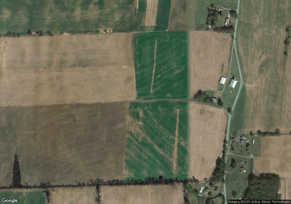
333 North Rd New Enterprise, PA 16664
Estimated Value: $254,000 - $481,000
--
Bed
--
Bath
1,700
Sq Ft
$210/Sq Ft
Est. Value
About This Home
This home is located at 333 North Rd, New Enterprise, PA 16664 and is currently estimated at $356,873, approximately $209 per square foot. 333 North Rd is a home located in Bedford County with nearby schools including Northern Bedford County Elementary School, Northern Bedford County Middle School/Senior High School, and Northern Bedford County Middle School.
Ownership History
Date
Name
Owned For
Owner Type
Purchase Details
Closed on
Oct 23, 2018
Sold by
Myeldera Inc
Bought by
Shirk Eugene O and Shirk Marlene R
Current Estimated Value
Home Financials for this Owner
Home Financials are based on the most recent Mortgage that was taken out on this home.
Original Mortgage
$50,000
Outstanding Balance
$17,927
Interest Rate
4.6%
Mortgage Type
Commercial
Estimated Equity
$338,946
Purchase Details
Closed on
Oct 1, 1997
Bought by
Replogle June B
Create a Home Valuation Report for This Property
The Home Valuation Report is an in-depth analysis detailing your home's value as well as a comparison with similar homes in the area
Home Values in the Area
Average Home Value in this Area
Purchase History
| Date | Buyer | Sale Price | Title Company |
|---|---|---|---|
| Shirk Eugene O | $275,000 | None Available | |
| Replogle June B | -- | -- |
Source: Public Records
Mortgage History
| Date | Status | Borrower | Loan Amount |
|---|---|---|---|
| Open | Shirk Eugene O | $50,000 |
Source: Public Records
Tax History Compared to Growth
Tax History
| Year | Tax Paid | Tax Assessment Tax Assessment Total Assessment is a certain percentage of the fair market value that is determined by local assessors to be the total taxable value of land and additions on the property. | Land | Improvement |
|---|---|---|---|---|
| 2025 | $1,579 | $107,400 | $42,000 | $65,400 |
| 2024 | $1,436 | $107,400 | $42,000 | $65,400 |
| 2023 | $1,379 | $107,400 | $42,000 | $65,400 |
| 2022 | $1,359 | $107,400 | $42,000 | $65,400 |
| 2021 | $1,305 | $107,400 | $42,000 | $65,400 |
| 2020 | $1,277 | $107,400 | $42,000 | $65,400 |
| 2019 | $4,757 | $107,400 | $42,000 | $65,400 |
| 2018 | $4,757 | $165,210 | $99,810 | $65,400 |
| 2017 | $4,723 | $165,210 | $99,810 | $65,400 |
| 2016 | -- | $165,210 | $99,810 | $65,400 |
| 2014 | -- | $216,120 | $82,820 | $133,300 |
Source: Public Records
Map
Nearby Homes
- 2469 Woodbury Pike
- 1754 Woodbury Pike
- 442 Old Henry Path Rd
- 0 Church View Rd
- Off Kettle Rd
- 4059 Imlertown Rd
- 826 Recreational Dr
- 00 Raven Run Rd
- 244 Heritage Rd
- 195 Mill Rd
- 00 Brumbaugh Cemetary Rd
- Lot 6 Polecat Hollow Rd
- 0 Polecat Hollow Rd Unit 16076093
- 303 16th St
- 1702 Mifflin St
- 512 Cross Roads Ln
- 275 Stone Row Rd
- 1006 Main St
- 806 Spring St
- 413 Metzgar Ln Unit 14
- 288 North Rd
- 413 North Rd
- 251 North Rd
- 252 North Rd
- 227 North Rd
- 0 Mountain View Dr
- 391 Mountain View Dr
- 391 Mountain View Dr
- 183 North Rd
- 136 North Rd
- 238 Mountain View Dr
- 445 Mountain View Dr
- 183 Old Mill Rd
- 221 Old Mill Rd
- 125 Pine Hill Rd
- 220 Old Mill Rd
- 4360 Brumbaugh Rd
- 144 Walnut Hill Farm Rd
- 4090 Brumbaugh Rd
- 4090 Brumbaugh Rd
