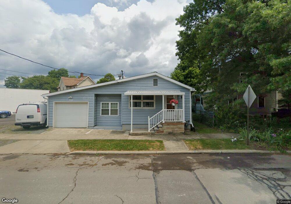
333 W William St Corning, NY 14830
Estimated Value: $86,000 - $106,000
1
Bed
1
Bath
722
Sq Ft
$131/Sq Ft
Est. Value
About This Home
This home is located at 333 W William St, Corning, NY 14830 and is currently estimated at $94,873, approximately $131 per square foot. 333 W William St is a home located in Steuben County with nearby schools including Hugh W. Gregg Elementary School, Corning-Painted Post Middle School, and Corning-Painted Post High School.
Ownership History
Date
Name
Owned For
Owner Type
Purchase Details
Closed on
Aug 17, 2021
Sold by
Celelli Joseph
Bought by
Southern Tier Electri Llc
Current Estimated Value
Purchase Details
Closed on
Apr 18, 2002
Sold by
Holden Shirley
Bought by
Celelli Joseph
Purchase Details
Closed on
Sep 29, 1999
Purchase Details
Closed on
Aug 7, 1997
Sold by
Anderson Mildred A C
Bought by
Holden Harley H and Holden Shirley M
Purchase Details
Closed on
May 9, 1997
Sold by
Anderson Mildred A C
Bought by
Holden Harley H and Holden Shirley M
Create a Home Valuation Report for This Property
The Home Valuation Report is an in-depth analysis detailing your home's value as well as a comparison with similar homes in the area
Home Values in the Area
Average Home Value in this Area
Purchase History
| Date | Buyer | Sale Price | Title Company |
|---|---|---|---|
| Southern Tier Electri Llc | $73,000 | None Available | |
| Celelli Joseph | $39,000 | -- | |
| -- | -- | -- | |
| Holden Harley H | $36,900 | -- | |
| Holden Harley H | $36,900 | -- |
Source: Public Records
Tax History Compared to Growth
Tax History
| Year | Tax Paid | Tax Assessment Tax Assessment Total Assessment is a certain percentage of the fair market value that is determined by local assessors to be the total taxable value of land and additions on the property. | Land | Improvement |
|---|---|---|---|---|
| 2024 | $2,197 | $80,000 | $7,000 | $73,000 |
| 2023 | $2,221 | $80,000 | $7,000 | $73,000 |
| 2022 | $2,587 | $55,000 | $7,000 | $48,000 |
| 2021 | $1,903 | $55,000 | $7,000 | $48,000 |
| 2020 | $1,191 | $55,000 | $7,000 | $48,000 |
| 2019 | $2,453 | $55,000 | $7,000 | $48,000 |
| 2018 | $2,453 | $55,000 | $7,000 | $48,000 |
| 2017 | $1,816 | $55,000 | $7,000 | $48,000 |
| 2016 | $1,796 | $55,000 | $7,000 | $48,000 |
| 2015 | -- | $55,000 | $7,000 | $48,000 |
| 2014 | -- | $55,000 | $7,000 | $48,000 |
Source: Public Records
Map
Nearby Homes
- 174 Fuller Ave
- 181 Dwight Ave
- 180 W Pulteney St
- 217 W William St
- 172 Reynolds Ave
- 148 W Pulteney St
- 229 Cutler Ave
- 216 Sharwill Place
- 138 W William St
- 206 Pritchard Ave
- 210 Buffalo St
- 401 Lower Pace Rd
- 148 Seneca St
- 385 Sunset Dr
- 394 Sunset Dr
- 82 Riverside Cir
- 330 Sunset Dr
- 45 Riverside Cir
- 179 Sly Ave
- 36 Clark St
- 329 W William St
- 330 W Pulteney St
- 325 W William St Unit 327
- 314 W Pulteney St
- 323 W William St
- 312 W Pulteney St
- 321 W William St
- 310 W Pulteney St
- 315 W William St
- 325 W Pulteney St
- 308 W Pulteney St
- 63 Goff St
- 61 Goff St
- 55 Goff St
- 302 W Pulteney St
- 311 W Pulteney St
- 318 W William St
- 117 Fuller Ave
- 350 W Pulteney St
- 316 W William St