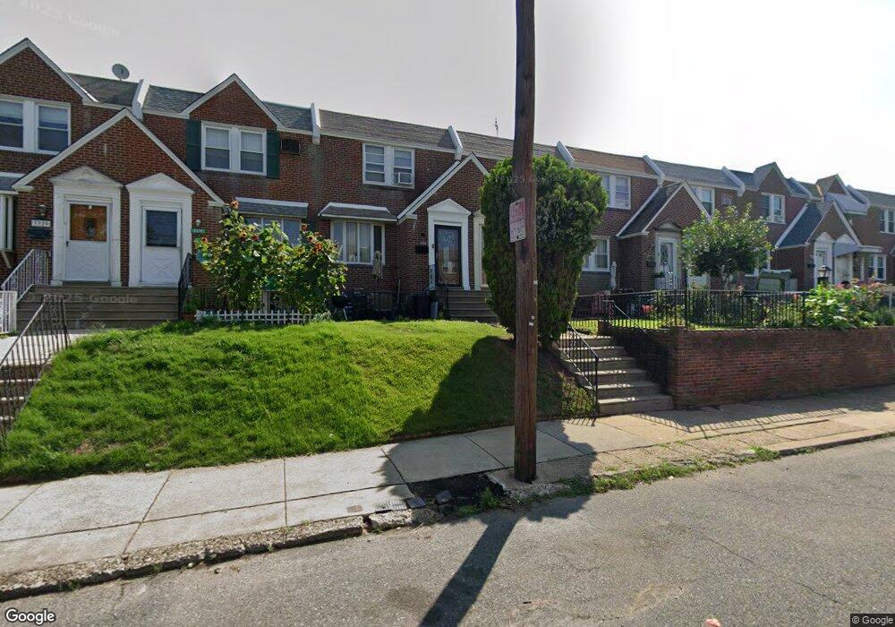
3335 Lansing St Philadelphia, PA 19136
Mayfair NeighborhoodEstimated Value: $230,115 - $252,000
3
Beds
1
Bath
1,088
Sq Ft
$221/Sq Ft
Est. Value
About This Home
This home is located at 3335 Lansing St, Philadelphia, PA 19136 and is currently estimated at $240,279, approximately $220 per square foot. 3335 Lansing St is a home located in Philadelphia County with nearby schools including Lincoln High School, Meehan Austin Middle School, and Northeast Community Propel Academy.
Ownership History
Date
Name
Owned For
Owner Type
Purchase Details
Closed on
Oct 25, 2021
Sold by
Zhong Lin Tian
Bought by
Huang Yunzhen
Current Estimated Value
Home Financials for this Owner
Home Financials are based on the most recent Mortgage that was taken out on this home.
Original Mortgage
$135,000
Interest Rate
3.05%
Mortgage Type
New Conventional
Purchase Details
Closed on
Nov 20, 1998
Sold by
Dougherty Eugene T and Dougherty Martha B
Bought by
Williams Michael D
Create a Home Valuation Report for This Property
The Home Valuation Report is an in-depth analysis detailing your home's value as well as a comparison with similar homes in the area
Home Values in the Area
Average Home Value in this Area
Purchase History
| Date | Buyer | Sale Price | Title Company |
|---|---|---|---|
| Huang Yunzhen | $210,000 | Golden Land Transfer | |
| Williams Michael D | $60,900 | -- |
Source: Public Records
Mortgage History
| Date | Status | Borrower | Loan Amount |
|---|---|---|---|
| Previous Owner | Huang Yunzhen | $135,000 |
Source: Public Records
Tax History Compared to Growth
Tax History
| Year | Tax Paid | Tax Assessment Tax Assessment Total Assessment is a certain percentage of the fair market value that is determined by local assessors to be the total taxable value of land and additions on the property. | Land | Improvement |
|---|---|---|---|---|
| 2025 | $2,626 | $231,600 | $46,320 | $185,280 |
| 2024 | $2,626 | $231,600 | $46,320 | $185,280 |
| 2023 | $2,626 | $187,600 | $37,520 | $150,080 |
| 2022 | $2,251 | $187,600 | $37,520 | $150,080 |
| 2021 | $2,251 | $0 | $0 | $0 |
| 2020 | $2,251 | $0 | $0 | $0 |
| 2019 | $2,179 | $0 | $0 | $0 |
| 2018 | $1,792 | $0 | $0 | $0 |
| 2017 | $1,792 | $0 | $0 | $0 |
| 2016 | $1,792 | $0 | $0 | $0 |
| 2015 | $1,715 | $0 | $0 | $0 |
| 2014 | -- | $128,000 | $18,875 | $109,125 |
| 2012 | -- | $16,672 | $1,392 | $15,280 |
Source: Public Records
Map
Nearby Homes
- 3414 Hartel Ave
- 3324 Lansing St
- 3405 Sheffield St
- 3520 Ashville St
- 3438 Decatur St
- 3515 Ashville St
- 3411 Chippendale Ave
- 3310 Sheffield Ave
- 3315 Chippendale Ave
- 3556 Meridian St
- 3528 Chippendale Ave
- 8011 Crispin St
- 3318 Oakmont St
- 3557 Oakmont St
- 4224 Chippendale Ave
- 3413 Shelmire Ave
- 3335 Shelmire Ave
- 4016 Decatur St
- 3307 Shelmire Ave
- 3414 Shelmire Ave
- 3337 Lansing St
- 3333 Lansing St
- 3339 Lansing St
- 3331 Lansing St
- 3329 Lansing St
- 3341 Lansing St
- 3343 Lansing St
- 3327 Lansing St
- 3345 Lansing St
- 3336 Hartel Ave
- 3330 Hartel Ave
- 3334 Hartel Ave
- 3332 Hartel Ave
- 3338 Hartel Ave
- 3323 Lansing St
- 3347 Lansing St
- 3340 Hartel Ave
- 3328 Hartel Ave
- 3321 Lansing St
- 3342 Hartel Ave