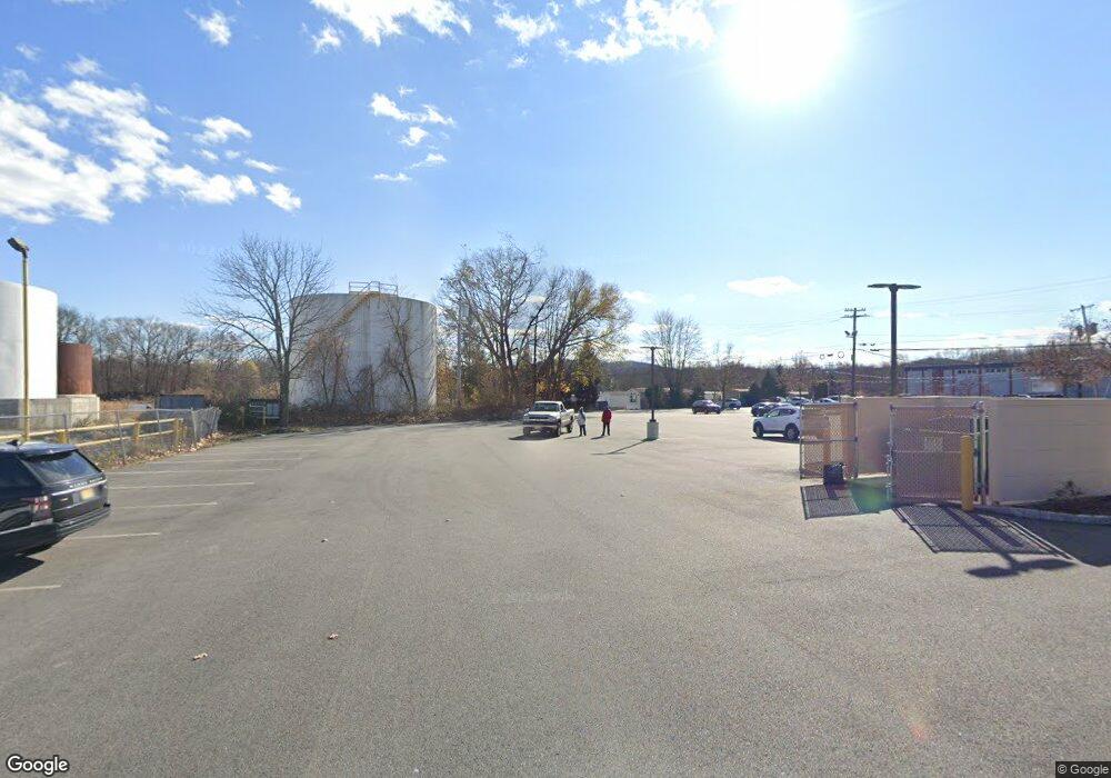
334 Us Highway 46 Rockaway, NJ 07866
Estimated Value: $592,000 - $3,301,770
--
Bed
--
Bath
4,948
Sq Ft
$393/Sq Ft
Est. Value
About This Home
This home is located at 334 Us Highway 46, Rockaway, NJ 07866 and is currently estimated at $1,946,885, approximately $393 per square foot. 334 Us Highway 46 is a home with nearby schools including Lincoln Elementary School, Thomas Jefferson Middle School, and Divine Mercy Academy.
Ownership History
Date
Name
Owned For
Owner Type
Purchase Details
Closed on
May 30, 2012
Sold by
Able Energy Terminal Llc
Bought by
Sycamore Energy Rockway Terminal Llc
Current Estimated Value
Home Financials for this Owner
Home Financials are based on the most recent Mortgage that was taken out on this home.
Original Mortgage
$1,900,000
Outstanding Balance
$1,317,384
Interest Rate
3.84%
Mortgage Type
Commercial
Estimated Equity
$629,501
Purchase Details
Closed on
Aug 31, 1999
Sold by
Birdsall Joan and Redbord Glenn L
Bought by
Able Energy Terminal Llc
Create a Home Valuation Report for This Property
The Home Valuation Report is an in-depth analysis detailing your home's value as well as a comparison with similar homes in the area
Home Values in the Area
Average Home Value in this Area
Purchase History
| Date | Buyer | Sale Price | Title Company |
|---|---|---|---|
| Sycamore Energy Rockway Terminal Llc | $3,037,608 | None Available | |
| Able Energy Terminal Llc | $1,150,000 | -- |
Source: Public Records
Mortgage History
| Date | Status | Borrower | Loan Amount |
|---|---|---|---|
| Open | Sycamore Energy Rockway Terminal Llc | $1,900,000 |
Source: Public Records
Tax History Compared to Growth
Tax History
| Year | Tax Paid | Tax Assessment Tax Assessment Total Assessment is a certain percentage of the fair market value that is determined by local assessors to be the total taxable value of land and additions on the property. | Land | Improvement |
|---|---|---|---|---|
| 2025 | $17,021 | $511,900 | $311,900 | $200,000 |
| 2024 | $16,637 | $511,900 | $311,900 | $200,000 |
| 2023 | $16,637 | $511,900 | $311,900 | $200,000 |
| 2022 | $90,335 | $2,821,200 | $945,000 | $1,876,200 |
| 2021 | $90,335 | $2,821,200 | $945,000 | $1,876,200 |
| 2020 | $88,755 | $2,821,200 | $945,000 | $1,876,200 |
| 2019 | $87,119 | $2,821,200 | $945,000 | $1,876,200 |
| 2018 | $86,244 | $2,821,200 | $945,000 | $1,876,200 |
| 2017 | $83,169 | $2,821,200 | $945,000 | $1,876,200 |
| 2016 | $80,235 | $2,821,200 | $945,000 | $1,876,200 |
| 2015 | $79,106 | $2,821,200 | $945,000 | $1,876,200 |
| 2014 | $76,257 | $2,821,200 | $945,000 | $1,876,200 |
Source: Public Records
Map
Nearby Homes
- 39 Daniel Ln
- 590 W Main St
- 318 W Main St
- 39 Valley View Rd
- 155 Andrea Dr
- 125 Phillip Dr
- 1114 Worthington Ct Unit 1114
- 33 Highland Ave
- 138 Franklin Ave
- 615 Knollwood Ct
- 4 Minor Ct
- 611 Knollwood Ct
- 2706 Ashfield Ct Unit 2706
- 31 Hyland Ave
- 2806 Vantage Ct Unit 2806
- 64 Franklin Ave
- 151 Mount Pleasant Ave
- 21 Easton Ave
- 195 Mount Pleasant Ave
- 121 Mount Pleasant Ave