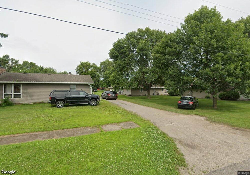
335 Main St W Richmond, MN 56368
Estimated Value: $200,182 - $266,000
2
Beds
1
Bath
1,083
Sq Ft
$208/Sq Ft
Est. Value
About This Home
This home is located at 335 Main St W, Richmond, MN 56368 and is currently estimated at $225,796, approximately $208 per square foot. 335 Main St W is a home located in Stearns County with nearby schools including Rocori Senior High School and Saints Peter & Paul Catholic School.
Ownership History
Date
Name
Owned For
Owner Type
Purchase Details
Closed on
Apr 30, 2021
Sold by
Blasius Eileen H
Bought by
Horn Tyna M
Current Estimated Value
Purchase Details
Closed on
Nov 25, 2015
Sold by
Christle Peter K
Bought by
Blasius Eileen H
Purchase Details
Closed on
Jan 16, 2006
Sold by
Roos Theodore
Bought by
Roos Larry
Purchase Details
Closed on
Dec 8, 2004
Sold by
Hemmeschothmar Trust
Bought by
Roos George
Purchase Details
Closed on
Oct 8, 2002
Sold by
Brady Raymond
Bought by
Hemmeschothmar Trust
Purchase Details
Closed on
Oct 13, 2000
Sold by
Stewart Robert
Bought by
Brady Raymond
Create a Home Valuation Report for This Property
The Home Valuation Report is an in-depth analysis detailing your home's value as well as a comparison with similar homes in the area
Home Values in the Area
Average Home Value in this Area
Purchase History
| Date | Buyer | Sale Price | Title Company |
|---|---|---|---|
| Horn Tyna M | $170,000 | First American Title | |
| Blasius Eileen H | $120,000 | -- | |
| Roos Larry | $50,000 | -- | |
| Roos George | $119,000 | -- | |
| Hemmeschothmar Trust | $111,000 | -- | |
| Brady Raymond | $95,500 | -- |
Source: Public Records
Tax History Compared to Growth
Tax History
| Year | Tax Paid | Tax Assessment Tax Assessment Total Assessment is a certain percentage of the fair market value that is determined by local assessors to be the total taxable value of land and additions on the property. | Land | Improvement |
|---|---|---|---|---|
| 2025 | $1,734 | $170,000 | $22,000 | $148,000 |
| 2024 | $1,722 | $160,700 | $22,000 | $138,700 |
| 2023 | $1,628 | $156,000 | $22,000 | $134,000 |
| 2022 | $1,558 | $127,400 | $15,000 | $112,400 |
| 2021 | $1,548 | $127,400 | $15,000 | $112,400 |
| 2020 | $1,690 | $125,200 | $15,000 | $110,200 |
| 2019 | $1,634 | $129,100 | $18,000 | $111,100 |
| 2018 | $1,542 | $115,500 | $17,500 | $98,000 |
| 2017 | $1,584 | $116,600 | $17,500 | $99,100 |
| 2016 | $1,998 | $0 | $0 | $0 |
| 2015 | $2,384 | $0 | $0 | $0 |
| 2014 | -- | $0 | $0 | $0 |
Source: Public Records
Map
Nearby Homes
- 261 Main St W
- 148 Main St W
- 577 Main St W
- 205 Grant Ave SW
- 153 Central Ave S
- 101 Barry Loop NW
- 232 Main St E
- 448 1st St NE
- 464 Main St E
- 22296 Hall Ave SW
- XXX Eastfield Dr
- 21107 State Highway 23
- 22579 Fordham Rd
- 20734 Black Cherry Dr
- 21312 State Highway 22 #4
- 21312 State Highway 22 Unit 20
- 21312 State Highway 22 Unit 25
- 22314 Mallard Ct
- 20554 Elkview Ct
- 20568 Elkview Ct
- 325 Main St W
- 345 Main St W
- 55 Fir Ave SW
- 355 Main St W
- 305 Main St W
- 315 Main St W
- 365 Main St W
- 57 Fir Ave SW
- 360 1st St SW Unit 584
- 400 400 1st-Avenue-sw
- 316 Main St W
- 336 Main St W
- 324 Main St W
- 324 324 Main-Street-w
- 19 Elm Ave SW
- 364 Main St W
- 260 1st St SW
- 29 Elm Ave SW
- 31 Fir Ave NW
- 109 Fir Ave SW