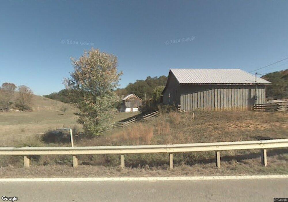
3354 Carter Valley Rd Parrottsville, TN 37843
Estimated Value: $124,709 - $283,000
--
Bed
1
Bath
2,198
Sq Ft
$100/Sq Ft
Est. Value
About This Home
This home is located at 3354 Carter Valley Rd, Parrottsville, TN 37843 and is currently estimated at $219,927, approximately $100 per square foot. 3354 Carter Valley Rd is a home located in Cocke County with nearby schools including Parrottsville Elementary School and Cocke County High School.
Ownership History
Date
Name
Owned For
Owner Type
Purchase Details
Closed on
Mar 14, 2023
Sold by
Reedy Ricky Ray and Reedy Pamela Lakay
Bought by
Roth Ian Maxwell
Current Estimated Value
Purchase Details
Closed on
Jul 23, 2014
Sold by
Mease Noah Virgil
Bought by
Mease Noah Virgil L and %Jeffrey Mease E
Purchase Details
Closed on
Sep 18, 2003
Sold by
Mease Noah V and Mease Shirley
Bought by
State Of Tn
Purchase Details
Closed on
Sep 17, 2003
Bought by
Mease Noah Virgil and Mease Shirley
Purchase Details
Closed on
Jan 1, 1983
Bought by
Mease Noah Virgil and Mease Shirley
Create a Home Valuation Report for This Property
The Home Valuation Report is an in-depth analysis detailing your home's value as well as a comparison with similar homes in the area
Home Values in the Area
Average Home Value in this Area
Purchase History
| Date | Buyer | Sale Price | Title Company |
|---|---|---|---|
| Roth Ian Maxwell | $425,000 | Colonial Title | |
| Mease Noah Virgil L | -- | -- | |
| Mease Jeffrey Virgil | -- | -- | |
| State Of Tn | -- | -- | |
| Mease Noah Virgil | $23,000 | -- | |
| Mease Noah Virgil | $12,000 | -- |
Source: Public Records
Tax History Compared to Growth
Tax History
| Year | Tax Paid | Tax Assessment Tax Assessment Total Assessment is a certain percentage of the fair market value that is determined by local assessors to be the total taxable value of land and additions on the property. | Land | Improvement |
|---|---|---|---|---|
| 2024 | $606 | $23,675 | $2,375 | $21,300 |
| 2023 | $606 | $21,225 | $2,375 | $18,850 |
| 2022 | $544 | $21,225 | $2,375 | $18,850 |
| 2021 | $544 | $21,225 | $2,375 | $18,850 |
| 2020 | $544 | $21,225 | $2,375 | $18,850 |
| 2019 | $568 | $20,075 | $2,625 | $17,450 |
| 2018 | $568 | $20,075 | $2,625 | $17,450 |
| 2017 | $582 | $20,075 | $2,625 | $17,450 |
| 2016 | $519 | $20,075 | $2,625 | $17,450 |
| 2015 | $490 | $20,075 | $2,625 | $17,450 |
| 2014 | $490 | $20,075 | $2,625 | $17,450 |
| 2013 | $490 | $20,425 | $3,250 | $17,175 |
Source: Public Records
Map
Nearby Homes
- 765 Poplar Springs Rd
- 5245 Poplar Springs Rd
- 0 London Way
- 2895 Looney Rd
- 1086 Highland Meadow
- 1066 Highland Meadow
- 0 Looney Rd Unit 304968
- 0 Looney Rd Unit 1290581
- Tbd 49.60 Looney Rd
- 0000 Looney Rd
- 938 Old Newport Hwy
- 241 E Stagecoach Rd
- 0 Long Creek Rd
- 749 Franklin Rd
- 0 Trentham Hollow
- 1633 Poplar Springs Rd
- TBD Poplar Springs Rd
- 7545 Cedar Creek Rd
- 2233 Sinking Creek Rd
- 7335 Cedar Creek Rd
- 3355 Carter Valley Rd
- 000 Shelton Chapel Rd
- 3 Shelton Chapel Rd
- 2 Shelton Chapel Rd
- 3390 Sable Rd
- 3387 Sable Rd
- 3190 U S 321
- 3355 U S 321
- 3355 Sable Rd
- 3350 Sable Rd
- 125 Shelton Chapel Rd
- 3301 Highway 321
- 3269 Old Parrottsville Hwy
- 3257 Old Parrottsville Hwy
- 13110 Newport Hwy
- Lot 2 Shelton Chapel Rd
- 3301 Sable Rd
- 0 Shelton Chapel Rd
- 145 Shelton Chapel Rd
- 3465 U S 321