336 Post Office Rd Waldorf, MD 20602
Estimated Value: $2,003,932
--
Bed
--
Bath
11,955
Sq Ft
$168/Sq Ft
Est. Value
About This Home
This home is located at 336 Post Office Rd, Waldorf, MD 20602 and is currently estimated at $2,003,932, approximately $167 per square foot. 336 Post Office Rd is a home located in Charles County with nearby schools including Dr. Samuel A. Mudd Elementary School, John Hanson Middle School, and Thomas Stone High School.
Ownership History
Date
Name
Owned For
Owner Type
Purchase Details
Closed on
Apr 11, 1996
Sold by
Jones Intercable Inc
Bought by
Jones Commumications Of Md Inc
Current Estimated Value
Purchase Details
Closed on
Jan 7, 1988
Sold by
National General Corporation
Bought by
Jones Intercable Inc
Purchase Details
Closed on
Jul 18, 1983
Sold by
St Charles Associates
Bought by
National General Corporation
Home Financials for this Owner
Home Financials are based on the most recent Mortgage that was taken out on this home.
Original Mortgage
$2,000,000
Interest Rate
13.5%
Create a Home Valuation Report for This Property
The Home Valuation Report is an in-depth analysis detailing your home's value as well as a comparison with similar homes in the area
Home Values in the Area
Average Home Value in this Area
Purchase History
| Date | Buyer | Sale Price | Title Company |
|---|---|---|---|
| Jones Commumications Of Md Inc | $504,300 | -- | |
| Jones Intercable Inc | $1,450,000 | -- | |
| National General Corporation | $525,000 | -- |
Source: Public Records
Mortgage History
| Date | Status | Borrower | Loan Amount |
|---|---|---|---|
| Previous Owner | National General Corporation | $2,000,000 |
Source: Public Records
Tax History Compared to Growth
Tax History
| Year | Tax Paid | Tax Assessment Tax Assessment Total Assessment is a certain percentage of the fair market value that is determined by local assessors to be the total taxable value of land and additions on the property. | Land | Improvement |
|---|---|---|---|---|
| 2025 | -- | $2,201,900 | -- | -- |
| 2024 | $27,362 | $2,182,400 | $803,600 | $1,378,800 |
| 2023 | $29,196 | $2,043,100 | $0 | $0 |
| 2022 | $25,344 | $1,903,800 | $0 | $0 |
| 2021 | $23,099 | $1,764,500 | $803,600 | $960,900 |
| 2020 | $23,099 | $1,733,633 | $0 | $0 |
| 2019 | $22,696 | $1,702,767 | $0 | $0 |
| 2018 | $22,217 | $1,671,900 | $803,600 | $868,300 |
| 2017 | $21,988 | $1,655,800 | $0 | $0 |
| 2016 | -- | $1,639,700 | $0 | $0 |
| 2015 | -- | $1,623,600 | $0 | $0 |
| 2014 | -- | $1,623,600 | $0 | $0 |
Source: Public Records
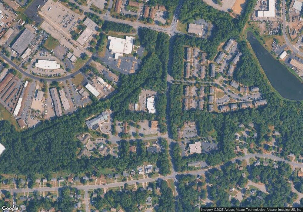
Map
Nearby Homes
- 801 Roxbury Ct
- 3071 Donegal Ct
- 3864 Kelly Green Place
- 717 Barrington Dr
- 3081 Dorsey Ct
- 3 Henry Ford Cir
- 3809 Light Arms Place
- 3893 Light Arms Place
- 3839 Kearnys Inn Place
- 3205 High Timber Ct
- 314 Rivermont Dr
- 3729 Kempsford Field Place
- 3048 Heathcote Rd
- 11960 Motley Place
- 3046 Heathcote Rd
- 3037 Heathcote Rd
- 3286 Greenwich Ct
- 302 Barksdale Ave
- 3086 Heathcote Rd
- 3126 Heathcote Rd
- 11690 Doolittle Dr
- 0 Post Office Rd Unit 1007651082
- 0 Post Office Rd Unit 1007651066
- 0 Post Office Rd Unit 1006705008
- 0 Post Office Rd Unit 1006639138
- 0 Post Office Rd Unit CH7348397
- 0 Post Office Rd Unit CH7669994
- 0 Post Office Rd Unit CH8348715
- 0 Post Office Rd Unit 1009442318
- 0 Post Office Rd Unit 1009441882
- 0 Post Office Rd Unit 1008974936
- 0 Post Office Rd Unit 1008974886
- 0 Post Office Rd Unit 1008786362
- 0 Post Office Rd Unit 1008785928
- 0 Post Office Rd Unit 1008753192
- 11680 Doolittle Dr
- 3667 Mansfield Place
- 3669 Mansfield Place
- 3665 Mansfield Place
- 3671 Mansfield Place