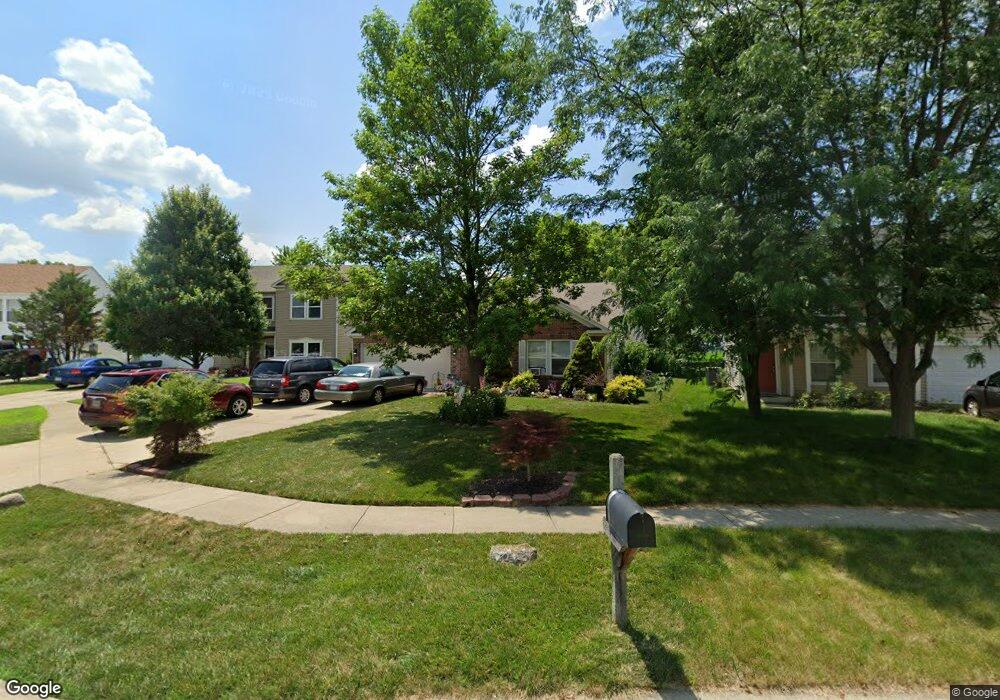
3364 Hurst St Whiteland, IN 46184
Estimated Value: $272,376 - $295,000
--
Bed
2
Baths
1,819
Sq Ft
$156/Sq Ft
Est. Value
About This Home
This home is located at 3364 Hurst St, Whiteland, IN 46184 and is currently estimated at $284,594, approximately $156 per square foot. 3364 Hurst St is a home located in Johnson County with nearby schools including Pleasant Crossing Elementary School, Clark-Pleasant Middle School, and Whiteland Community High School.
Ownership History
Date
Name
Owned For
Owner Type
Purchase Details
Closed on
Jul 9, 2007
Sold by
C P Morgan Communities L P
Bought by
Brewer Norma K and Brewer Dennis R
Current Estimated Value
Home Financials for this Owner
Home Financials are based on the most recent Mortgage that was taken out on this home.
Original Mortgage
$142,529
Outstanding Balance
$89,271
Interest Rate
6.54%
Estimated Equity
$195,323
Create a Home Valuation Report for This Property
The Home Valuation Report is an in-depth analysis detailing your home's value as well as a comparison with similar homes in the area
Home Values in the Area
Average Home Value in this Area
Purchase History
| Date | Buyer | Sale Price | Title Company |
|---|---|---|---|
| Brewer Norma K | -- | None Available |
Source: Public Records
Mortgage History
| Date | Status | Borrower | Loan Amount |
|---|---|---|---|
| Open | Brewer Norma K | $142,529 |
Source: Public Records
Tax History Compared to Growth
Tax History
| Year | Tax Paid | Tax Assessment Tax Assessment Total Assessment is a certain percentage of the fair market value that is determined by local assessors to be the total taxable value of land and additions on the property. | Land | Improvement |
|---|---|---|---|---|
| 2025 | $1,947 | $261,200 | $56,000 | $205,200 |
| 2024 | $1,947 | $253,000 | $56,000 | $197,000 |
| 2023 | $1,909 | $242,800 | $56,000 | $186,800 |
| 2022 | $1,871 | $207,900 | $29,900 | $178,000 |
| 2021 | $1,835 | $176,400 | $29,900 | $146,500 |
| 2020 | $1,633 | $156,400 | $29,900 | $126,500 |
| 2019 | $1,504 | $144,000 | $29,900 | $114,100 |
| 2018 | $1,450 | $140,200 | $19,000 | $121,200 |
| 2017 | $1,446 | $143,600 | $19,000 | $124,600 |
| 2016 | $1,380 | $138,000 | $19,000 | $119,000 |
| 2014 | $1,195 | $118,400 | $23,200 | $95,200 |
| 2013 | $1,195 | $119,500 | $23,200 | $96,300 |
Source: Public Records
Map
Nearby Homes
- 3196 Underwood Dr
- 3142 Hurst St
- 2916 Lodgepole Dr
- 2545 Wildflower Ln
- 577 Stobus Dr
- 2489 Wildflower Ln
- 731 W 600 N
- 2418 Ashton Ln
- 767 Mountain Pine Dr
- 2277 Maple Stone Ln
- 2400 Grand Fir Dr
- 3481 S Honey Creek Rd
- 700 Mountain Pine Dr
- 2357 Grand Fir Dr
- 814 Cherry Tree Ln
- 2284 Blossom Dr
- 2288 Shadow Trace Way
- 1059 Cherry Tree Ln
- 389 Springfield Cir
- 647 Bluestem Cir