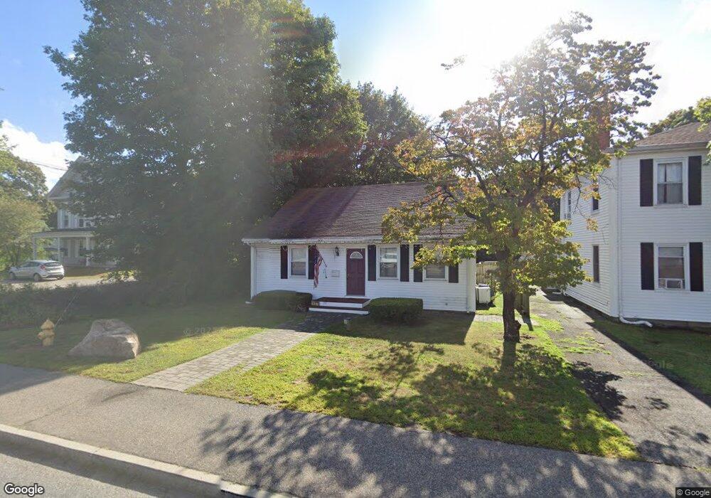
337 Washington St Abington, MA 02351
Estimated Value: $510,037 - $592,000
3
Beds
2
Baths
1,556
Sq Ft
$350/Sq Ft
Est. Value
About This Home
This home is located at 337 Washington St, Abington, MA 02351 and is currently estimated at $544,259, approximately $349 per square foot. 337 Washington St is a home located in Plymouth County with nearby schools including Beaver Brook Elementary School, Abington Middle School, and Woodsdale School.
Ownership History
Date
Name
Owned For
Owner Type
Purchase Details
Closed on
Mar 24, 2022
Sold by
Patel Smit R and Patel Mittal
Bought by
Shivam Rt
Current Estimated Value
Purchase Details
Closed on
Nov 29, 2021
Sold by
Muir Theodore W and Muir Kellie B
Bought by
Patel Smith R and Patel Mittal
Home Financials for this Owner
Home Financials are based on the most recent Mortgage that was taken out on this home.
Original Mortgage
$240,000
Interest Rate
3.05%
Mortgage Type
Purchase Money Mortgage
Create a Home Valuation Report for This Property
The Home Valuation Report is an in-depth analysis detailing your home's value as well as a comparison with similar homes in the area
Home Values in the Area
Average Home Value in this Area
Purchase History
| Date | Buyer | Sale Price | Title Company |
|---|---|---|---|
| Shivam Rt | -- | None Available | |
| Patel Smith R | $320,000 | None Available |
Source: Public Records
Mortgage History
| Date | Status | Borrower | Loan Amount |
|---|---|---|---|
| Previous Owner | Patel Smith R | $240,000 |
Source: Public Records
Tax History Compared to Growth
Tax History
| Year | Tax Paid | Tax Assessment Tax Assessment Total Assessment is a certain percentage of the fair market value that is determined by local assessors to be the total taxable value of land and additions on the property. | Land | Improvement |
|---|---|---|---|---|
| 2025 | $6,057 | $463,800 | $218,200 | $245,600 |
| 2024 | $6,052 | $452,300 | $198,300 | $254,000 |
| 2023 | $5,742 | $404,100 | $172,400 | $231,700 |
| 2022 | $5,631 | $370,000 | $150,900 | $219,100 |
| 2021 | $5,109 | $310,000 | $136,900 | $173,100 |
| 2020 | $5,343 | $314,300 | $141,300 | $173,000 |
| 2019 | $5,123 | $294,600 | $134,600 | $160,000 |
| 2018 | $5,121 | $287,400 | $134,600 | $152,800 |
| 2017 | $4,674 | $254,700 | $134,600 | $120,100 |
| 2016 | $4,325 | $241,200 | $128,100 | $113,100 |
| 2015 | $4,005 | $235,600 | $128,100 | $107,500 |
Source: Public Records
Map
Nearby Homes
- 87 Summer St
- 40 Bedford St
- 37 Rockland St
- 10 Bank St
- 257 Rockland St Unit 257
- 1098 Bedford St
- 34 George h Gillespie Way
- 333 Groveland St
- 89 Andrew Ford Way
- 360 High St
- 133 Andrew Ford Way
- 63 Dewey Ave
- 116 Hancock St
- 193 Linwood St
- 300 High St
- 63 Rice St
- 164 Hancock St
- 14 Doris Dr
- 78 Linda St
- 33 Green St
- 335 Washington St Unit 4
- 335 Washington St
- 349 Washington St Unit 2
- 349 Washington St Unit 3
- 349 Washington St
- 00 Route 18 Unit Lot B
- 25 Summer St
- 325 Washington St Unit Lot
- 325 Washington St Unit 2
- 325 Washington St Unit 1
- 317 Washington St
- 319 Washington St Unit F
- 37 Summer St
- 350 Washington St
- 12 Summer St
- 313 Washington St
- 24 Summer St
- 39 Summer St
- 366 Washington St
- 366 Washington St Unit 2