3375 Aspen Dr Wooster, OH 44691
Estimated Value: $465,000 - $534,000
4
Beds
4
Baths
3,700
Sq Ft
$135/Sq Ft
Est. Value
About This Home
This home is located at 3375 Aspen Dr, Wooster, OH 44691 and is currently estimated at $498,912, approximately $134 per square foot. 3375 Aspen Dr is a home located in Wayne County with nearby schools including Kean Elementary School, Parkview Elementary School, and Edgewood Middle School.
Ownership History
Date
Name
Owned For
Owner Type
Purchase Details
Closed on
May 21, 2009
Sold by
Clark Rebecca D and Uhler Rebecca D
Bought by
Clark Christopher J
Current Estimated Value
Purchase Details
Closed on
Apr 30, 2008
Sold by
Clark Christopher J
Bought by
Clark Rebecca D
Purchase Details
Closed on
Jul 21, 2004
Sold by
Hamrick Jill R and Stoler Jill R
Bought by
Hamrick Larry R
Purchase Details
Closed on
Nov 5, 1993
Sold by
Coccia Lynda S and Coccia Lynda S
Bought by
Hamrick Larry R
Purchase Details
Closed on
May 8, 1989
Sold by
Coccia Michael T and Coccia Lynda
Bought by
Coccia Lynda S and Coccia Lynda S
Purchase Details
Closed on
Aug 5, 1986
Bought by
Coccia Michael T and Coccia Lynda
Purchase Details
Closed on
Jan 7, 1986
Create a Home Valuation Report for This Property
The Home Valuation Report is an in-depth analysis detailing your home's value as well as a comparison with similar homes in the area
Home Values in the Area
Average Home Value in this Area
Purchase History
| Date | Buyer | Sale Price | Title Company |
|---|---|---|---|
| Clark Christopher J | -- | Attorney | |
| Clark Rebecca D | -- | Attorney | |
| Hamrick Larry R | -- | -- | |
| Hamrick Larry R | $26,500 | -- | |
| Coccia Lynda S | -- | -- | |
| Coccia Michael T | $12,000 | -- | |
| -- | $7,300 | -- |
Source: Public Records
Tax History Compared to Growth
Tax History
| Year | Tax Paid | Tax Assessment Tax Assessment Total Assessment is a certain percentage of the fair market value that is determined by local assessors to be the total taxable value of land and additions on the property. | Land | Improvement |
|---|---|---|---|---|
| 2024 | $6,542 | $150,460 | $29,570 | $120,890 |
| 2023 | $6,542 | $150,460 | $29,570 | $120,890 |
| 2022 | $5,591 | $103,050 | $20,250 | $82,800 |
| 2021 | $5,639 | $100,860 | $20,250 | $80,610 |
| 2020 | $5,358 | $100,860 | $20,250 | $80,610 |
| 2019 | $5,018 | $90,220 | $15,200 | $75,020 |
| 2018 | $5,032 | $90,220 | $15,200 | $75,020 |
| 2017 | $5,004 | $90,220 | $15,200 | $75,020 |
| 2016 | $5,209 | $86,750 | $14,620 | $72,130 |
| 2015 | $5,118 | $86,750 | $14,620 | $72,130 |
| 2014 | $4,385 | $75,730 | $14,620 | $61,110 |
| 2013 | $4,572 | $74,230 | $13,410 | $60,820 |
Source: Public Records
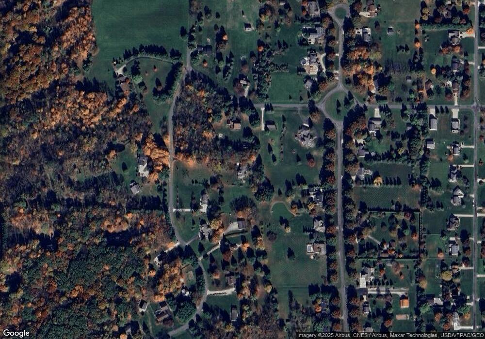
Map
Nearby Homes
- 3094 Briarwood Dr
- 3283 W Smithville Western Rd
- 1467 Hunt Club Dr
- 3303 W Smithville Western Rd
- 2290 Linwood Ct
- 4975 Clearcreek Valley Rd
- 1177 Church Hill Ct
- 2417 Mechanicsburg Rd
- 0 W Smithville Western Rd
- 2457 Barrington Way Unit 327
- 2457 Barrington Way Unit 325
- 2520 Barrington Way Unit 529
- 1087 Jesse Owens Dr
- 2360 Star Dr
- 1024 Kadas Ln
- 2447 Wetherington Ln Unit 131
- 2447 Wetherington Ln Unit 130
- 2447 Wetherington Ln
- 2194 Ryan Ct
- 5167 Overton Rd
- 2610 Larch Dr
- 3339 Aspen Dr
- 3291 Aspen Dr
- 3418 Tamarack Ln
- 3318 Tamarack Ln
- 3247 Aspen Dr
- 2615 Larch Dr
- 3290 Tamarack Ln
- 3390 Aspen Dr
- 3254 Tamarack Ln
- 0 Tamarack Ln
- Ln Tamarack Ln
- 3472 Tamarack Ln
- 3221 Aspen Dr
- 3351 Tamarack Ln
- 3284 Aspen Dr
- 3387 Tamarack Ln
- 3200 Aspen Dr
- 3510 Tamarack Ln
- 3291 Tamarack Ln