34 Brickett Hill Cir Unit 232 Haverhill, MA 01830
Upper Main Street NeighborhoodEstimated Value: $510,000 - $548,000
2
Beds
3
Baths
2,022
Sq Ft
$264/Sq Ft
Est. Value
About This Home
This home is located at 34 Brickett Hill Cir Unit 232, Haverhill, MA 01830 and is currently estimated at $534,074, approximately $264 per square foot. 34 Brickett Hill Cir Unit 232 is a home located in Essex County with nearby schools including Pentucket Lake Elementary School.
Ownership History
Date
Name
Owned For
Owner Type
Purchase Details
Closed on
Nov 9, 2023
Sold by
Boucher Donna C and Boucher Roland E
Bought by
Bricket Hill Circle Nt and Boucher
Current Estimated Value
Purchase Details
Closed on
Dec 4, 2009
Sold by
Cohen Neal P and Cohen Paula
Bought by
Paula I Cohen Ret
Purchase Details
Closed on
Nov 25, 2009
Sold by
Paula I Cohen Ret and Cohen
Bought by
Cohen Neal P
Purchase Details
Closed on
Jul 1, 2002
Sold by
Cole David F and Cole Irene R
Bought by
Cohen Neal P and Cohen Paula I
Purchase Details
Closed on
Sep 9, 1987
Sold by
Corville Rt
Bought by
Cole David F
Create a Home Valuation Report for This Property
The Home Valuation Report is an in-depth analysis detailing your home's value as well as a comparison with similar homes in the area
Home Values in the Area
Average Home Value in this Area
Purchase History
| Date | Buyer | Sale Price | Title Company |
|---|---|---|---|
| Bricket Hill Circle Nt | -- | None Available | |
| Paula I Cohen Ret | -- | -- | |
| Cohen Neal P | -- | -- | |
| Cohen Neal P | $335,000 | -- | |
| Cole David F | $175,815 | -- |
Source: Public Records
Mortgage History
| Date | Status | Borrower | Loan Amount |
|---|---|---|---|
| Previous Owner | Cole David F | $142,000 | |
| Previous Owner | Cole David F | $146,000 |
Source: Public Records
Tax History Compared to Growth
Tax History
| Year | Tax Paid | Tax Assessment Tax Assessment Total Assessment is a certain percentage of the fair market value that is determined by local assessors to be the total taxable value of land and additions on the property. | Land | Improvement |
|---|---|---|---|---|
| 2025 | $5,447 | $508,600 | $0 | $508,600 |
| 2024 | $4,633 | $435,400 | $0 | $435,400 |
| 2023 | $4,305 | $386,100 | $0 | $386,100 |
| 2022 | $4,139 | $325,400 | $0 | $325,400 |
| 2021 | $4,106 | $305,500 | $0 | $305,500 |
| 2020 | $4,020 | $295,600 | $0 | $295,600 |
| 2019 | $4,039 | $289,500 | $0 | $289,500 |
| 2018 | $3,939 | $276,200 | $0 | $276,200 |
| 2017 | $3,734 | $249,100 | $0 | $249,100 |
| 2016 | $3,757 | $244,600 | $0 | $244,600 |
| 2015 | $3,755 | $244,600 | $0 | $244,600 |
Source: Public Records
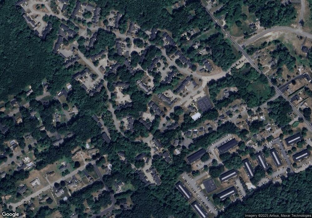
Map
Nearby Homes
- 113 Brickett Hill Cir Unit 113
- 175 Brickett Hill Cir Unit 175
- 120 Brickett Hill Cir Unit 120
- 8 Iris Way Unit 8
- 440 North Ave Unit 60
- 440 North Ave Unit 145
- 440 North Ave Unit 234
- 440 North Ave Unit 110
- 55 Ledge Rd
- 42 Plaistow Rd
- 0 Plaistow Rd Unit 73184617
- 1022 Main St
- 994 Main St
- 28 Forrest St
- 22 W Pine St
- 19 King St
- 171 North Ave
- 15 Canterbury Forest Unit B
- 140 North Ave
- 116 Crosby St
- 34 Brickett Hill Cir Unit 34
- 34 Brickett Hill Cir Unit 231
- 34 Brickett Hill Cir Unit 230
- 34 Brickett Hill Cir Unit 229
- 34 Brickett Hill Cir Unit 228
- 34 Brickett Hill Cir Unit 227
- 34 Brickett Hill Cir Unit 34,41
- 36 Brickett Hill Cir Unit 238
- 36 Brickett Hill Cir Unit 237
- 36 Brickett Hill Cir Unit 236
- 36 Brickett Hill Cir Unit 235
- 36 Brickett Hill Cir Unit 234
- 36 Brickett Hill Cir Unit 233
- 36 Brickett Hill Cir Unit 36
- 32 Brickett Hill Cir Unit 226
- 32 Brickett Hill Cir Unit 225
- 32 Brickett Hill Cir Unit 224
- 32 Brickett Hill Cir Unit 223
- 32 Brickett Hill Cir Unit 222
- 32 Brickett Hill Cir Unit 32