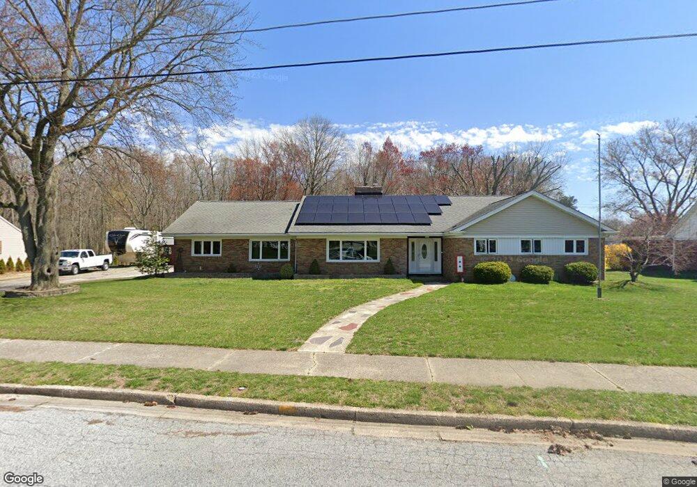
34 K Dr Pennsville, NJ 08070
Estimated Value: $370,566 - $442,000
3
Beds
3
Baths
2,486
Sq Ft
$162/Sq Ft
Est. Value
About This Home
This home is located at 34 K Dr, Pennsville, NJ 08070 and is currently estimated at $402,892, approximately $162 per square foot. 34 K Dr is a home located in Salem County with nearby schools including Valley Park Elementary School, Penn Beach Elementary School, and Central Park Elementary School.
Ownership History
Date
Name
Owned For
Owner Type
Purchase Details
Closed on
Mar 14, 2003
Sold by
Strong Carroll J and Strong Joan C
Bought by
Kandle Diane E
Current Estimated Value
Home Financials for this Owner
Home Financials are based on the most recent Mortgage that was taken out on this home.
Original Mortgage
$150,000
Outstanding Balance
$64,626
Interest Rate
5.91%
Mortgage Type
Purchase Money Mortgage
Estimated Equity
$338,266
Purchase Details
Closed on
Aug 11, 1998
Sold by
Strong Joan C
Bought by
Strong Joan C
Purchase Details
Closed on
Mar 11, 1997
Sold by
Strong Joan C and Cordrey John B
Bought by
Strong Joan C
Create a Home Valuation Report for This Property
The Home Valuation Report is an in-depth analysis detailing your home's value as well as a comparison with similar homes in the area
Home Values in the Area
Average Home Value in this Area
Purchase History
| Date | Buyer | Sale Price | Title Company |
|---|---|---|---|
| Kandle Diane E | $193,500 | Heritage Title & Abstract Ag | |
| Strong Joan C | -- | Intercoastal Title Agency In | |
| Strong Joan C | -- | Intercoastal Title Agency In | |
| Strong Joan C | -- | Intercoastal Title Agency In | |
| Strong Joan C | -- | Intercoastal Title Agency In | |
| Strong Joan C | -- | Intercoastal Title Agency In | |
| Strong Joan C | -- | -- | |
| Strong Joan C | -- | -- |
Source: Public Records
Mortgage History
| Date | Status | Borrower | Loan Amount |
|---|---|---|---|
| Open | Kandle Diane E | $150,000 |
Source: Public Records
Tax History Compared to Growth
Tax History
| Year | Tax Paid | Tax Assessment Tax Assessment Total Assessment is a certain percentage of the fair market value that is determined by local assessors to be the total taxable value of land and additions on the property. | Land | Improvement |
|---|---|---|---|---|
| 2025 | $11,654 | $228,600 | $56,200 | $172,400 |
| 2024 | $11,220 | $228,600 | $56,200 | $172,400 |
| 2023 | $11,220 | $228,600 | $56,200 | $172,400 |
| 2022 | $10,868 | $228,600 | $56,200 | $172,400 |
| 2021 | $10,568 | $228,600 | $56,200 | $172,400 |
| 2020 | $10,248 | $228,600 | $56,200 | $172,400 |
| 2019 | $9,741 | $228,600 | $56,200 | $172,400 |
| 2018 | $9,391 | $228,600 | $56,200 | $172,400 |
| 2017 | $9,059 | $228,600 | $56,200 | $172,400 |
| 2016 | $8,337 | $228,600 | $56,200 | $172,400 |
| 2015 | $7,955 | $228,600 | $56,200 | $172,400 |
| 2014 | $7,743 | $228,600 | $56,200 | $172,400 |
Source: Public Records
Map
Nearby Homes
- 370 S Broadway
- 4 Hazel Ave
- 35 Mahoney Rd
- 9 Charles Place
- 10 Finns Ln
- 6 E Ackley Terrace
- 6 Musket Ln
- 23 Jones Ave
- 42 Harvard Rd
- 42 Georgia Rd
- 22 Aspen Dr
- 135 Fort Mott Rd
- 0 Princeton Rd Unit NJSA2015094
- 100 S Hook Rd
- 87 Lincoln Dr
- 66 Fordham Rd
- 64 Dartmouth Rd
- 170 Fort Mott Rd
- 82 Harvard Rd
- 27 Morningside Dr