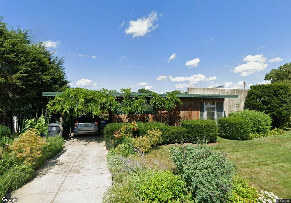
34 Sand Pond Rd Warwick, RI 02888
Spring Green NeighborhoodEstimated Value: $381,000 - $491,000
1
Bed
1
Bath
992
Sq Ft
$428/Sq Ft
Est. Value
About This Home
This home is located at 34 Sand Pond Rd, Warwick, RI 02888 and is currently estimated at $424,533, approximately $427 per square foot. 34 Sand Pond Rd is a home located in Kent County with nearby schools including Nel/Cps Construction Career, St. Peter School, and Saint Paul School.
Ownership History
Date
Name
Owned For
Owner Type
Purchase Details
Closed on
May 31, 1989
Sold by
Teder Marcella Est
Bought by
Inveen Paul R
Current Estimated Value
Create a Home Valuation Report for This Property
The Home Valuation Report is an in-depth analysis detailing your home's value as well as a comparison with similar homes in the area
Home Values in the Area
Average Home Value in this Area
Purchase History
| Date | Buyer | Sale Price | Title Company |
|---|---|---|---|
| Inveen Paul R | $107,000 | -- | |
| Inveen Paul R | $107,000 | -- |
Source: Public Records
Mortgage History
| Date | Status | Borrower | Loan Amount |
|---|---|---|---|
| Open | Inveen Paul R | $110,000 | |
| Closed | Inveen Paul R | $50,000 | |
| Closed | Inveen Paul R | $25,000 |
Source: Public Records
Tax History Compared to Growth
Tax History
| Year | Tax Paid | Tax Assessment Tax Assessment Total Assessment is a certain percentage of the fair market value that is determined by local assessors to be the total taxable value of land and additions on the property. | Land | Improvement |
|---|---|---|---|---|
| 2025 | $6,322 | $497,800 | $288,600 | $209,200 |
| 2024 | $5,583 | $385,800 | $238,500 | $147,300 |
| 2023 | $5,475 | $385,800 | $238,500 | $147,300 |
| 2022 | $4,684 | $250,100 | $138,600 | $111,500 |
| 2021 | $4,684 | $250,100 | $138,600 | $111,500 |
| 2020 | $4,684 | $250,100 | $138,600 | $111,500 |
| 2019 | $4,684 | $250,100 | $138,600 | $111,500 |
| 2018 | $4,270 | $205,300 | $123,200 | $82,100 |
| 2017 | $4,155 | $205,300 | $123,200 | $82,100 |
| 2016 | $4,155 | $205,300 | $123,200 | $82,100 |
| 2015 | $3,835 | $184,800 | $114,600 | $70,200 |
| 2014 | $3,707 | $184,800 | $114,600 | $70,200 |
| 2013 | $3,657 | $184,800 | $114,600 | $70,200 |
Source: Public Records
Map
Nearby Homes
- 1153 Post Rd
- 63 Massasoit Dr
- 396 Elm St
- 447 Harrington Ave
- 93 Grotto Ave
- 1052 Post Rd
- 27 Frederick St
- 126 Fairfax Dr
- 35 Welfare Ave
- 76 Massachusetts Ave
- 169 Partition St
- 341 Sumner Ave
- 77 Kentucky Ave
- 35 Manson Ave
- 93 Easton Ave
- 110 Pilgrim Pkwy Unit 8
- 208 Negansett Ave
- 120 Gould Ave
- 40 Easton Ave
- 110 Heath Ave
- 28 Sand Pond Rd
- 44 Sand Pond Rd
- 35 Sand Pond Rd
- 31 Sand Pond Rd
- 27 Sand Pond Rd
- 43 Sand Pond Rd
- 20 Sand Pond Rd
- 14 Sand Pond Rd
- 17 Sand Pond Rd
- 53 Sand Pond Rd
- 44 Bucklin Ave
- 54 Bucklin Ave
- 59 Sand Pond Rd
- 26 Bucklin Ave
- 309 Bucklin Ave
- 1260 Post Rd
- 16 Bucklin Ave
- 1250 Post Rd
- 1230 Post Rd Unit 4
- 12 Bucklin Ave