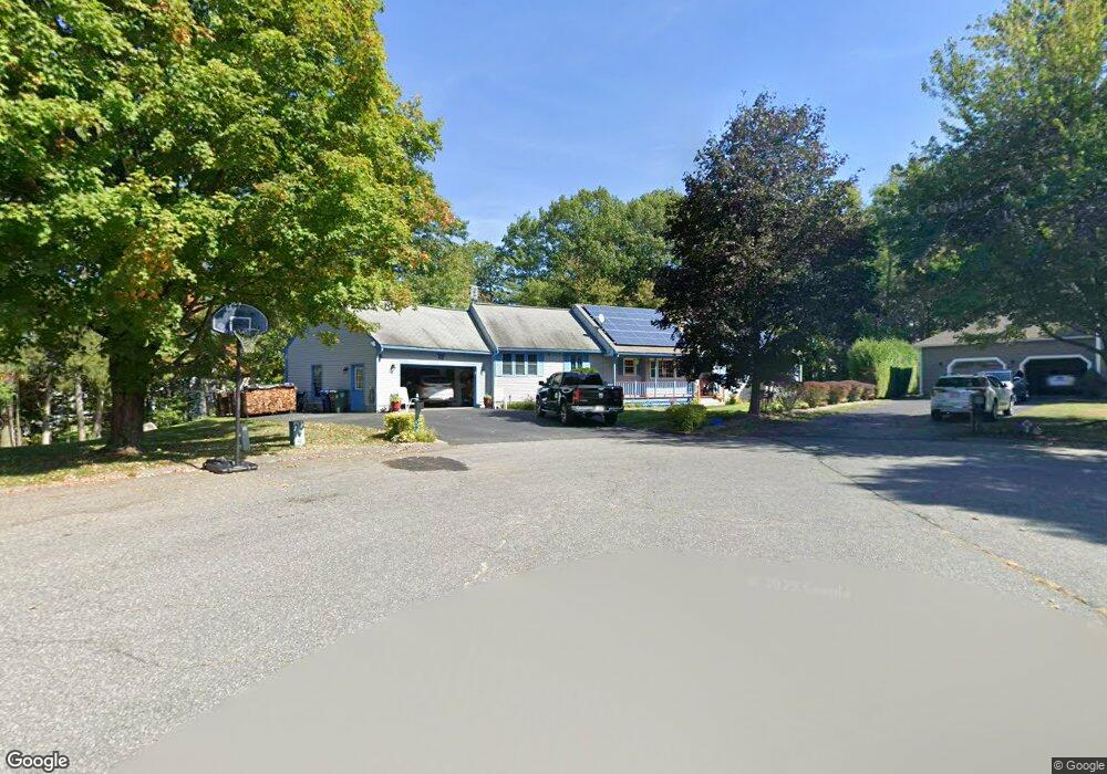
34 Starling Way Leominster, MA 01453
Estimated Value: $623,499 - $639,000
3
Beds
3
Baths
1,986
Sq Ft
$318/Sq Ft
Est. Value
About This Home
This home is located at 34 Starling Way, Leominster, MA 01453 and is currently estimated at $631,125, approximately $317 per square foot. 34 Starling Way is a home located in Worcester County with nearby schools including Leominster High School, St. Anna Catholic School, and St. Leo School.
Ownership History
Date
Name
Owned For
Owner Type
Purchase Details
Closed on
Oct 24, 2024
Sold by
Langston Blaine and Langston Patricia A
Bought by
Langston
Current Estimated Value
Purchase Details
Closed on
Mar 19, 1993
Sold by
Ashwood Dev Co Inc
Bought by
Langston Blaine and Langston Patricia
Create a Home Valuation Report for This Property
The Home Valuation Report is an in-depth analysis detailing your home's value as well as a comparison with similar homes in the area
Home Values in the Area
Average Home Value in this Area
Purchase History
| Date | Buyer | Sale Price | Title Company |
|---|---|---|---|
| Langston | -- | None Available | |
| Langston | -- | None Available | |
| Langston Blaine | $137,500 | -- | |
| Langston Blaine | $137,500 | -- |
Source: Public Records
Mortgage History
| Date | Status | Borrower | Loan Amount |
|---|---|---|---|
| Previous Owner | Langston Blaine | $195,000 | |
| Previous Owner | Langston Blaine | $190,000 | |
| Previous Owner | Langston Blaine | $60,000 |
Source: Public Records
Tax History Compared to Growth
Tax History
| Year | Tax Paid | Tax Assessment Tax Assessment Total Assessment is a certain percentage of the fair market value that is determined by local assessors to be the total taxable value of land and additions on the property. | Land | Improvement |
|---|---|---|---|---|
| 2025 | $7,474 | $532,700 | $153,700 | $379,000 |
| 2024 | $7,185 | $495,200 | $146,200 | $349,000 |
| 2023 | $6,981 | $449,200 | $127,200 | $322,000 |
| 2022 | $6,725 | $406,100 | $110,700 | $295,400 |
| 2021 | $6,924 | $381,900 | $86,200 | $295,700 |
| 2020 | $6,730 | $374,300 | $86,200 | $288,100 |
| 2019 | $6,493 | $350,200 | $82,000 | $268,200 |
| 2018 | $6,313 | $326,600 | $79,600 | $247,000 |
| 2017 | $5,923 | $300,200 | $74,400 | $225,800 |
| 2016 | $5,778 | $295,100 | $74,400 | $220,700 |
| 2015 | $5,472 | $281,500 | $74,400 | $207,100 |
| 2014 | $5,148 | $272,500 | $82,400 | $190,100 |
Source: Public Records
Map
Nearby Homes
- 93 Chapman Place Unit 93
- 57 Chapman Place
- 177 Chapman Place
- 197 Chapman Place Unit 197
- 30 Abbey Rd Unit 207
- 10 Abbey Rd Unit 108
- 30 Abbey Rd Unit 202
- 10 Abbey Rd Unit 205
- 36 Meadow Pond Dr Unit I
- 556 Central St Unit 43
- 556 Central St Unit 39
- 399 Union St
- 740 Central St Unit R24
- 740 Central St Unit L22
- 315 Grant St
- 23 Lantern Ln
- 45 Tisdale St
- 91 Eugene St
- 498 Lancaster St
- 6 Longwood Ave
- 31 Starling Way
- 27 Starling Way
- 117 Chapman Place
- 30 Starling Way
- 21 Starling Way
- 113 Chapman Place
- 111 Chapman Place
- 107 Chapman Place
- 107 Chapman Place Unit 107,11
- 107 Chapman Place Unit 107
- 88 Chapman Place
- 84 Chapman Place
- 82 Chapman Place
- 80 Chapman Place
- 84 Chapman Place Unit 84
- 15 Starling Way
- 5 Starling Way
- 139 Chapman Place
- 135 Chapman Place
- 184 Dogwood Rd