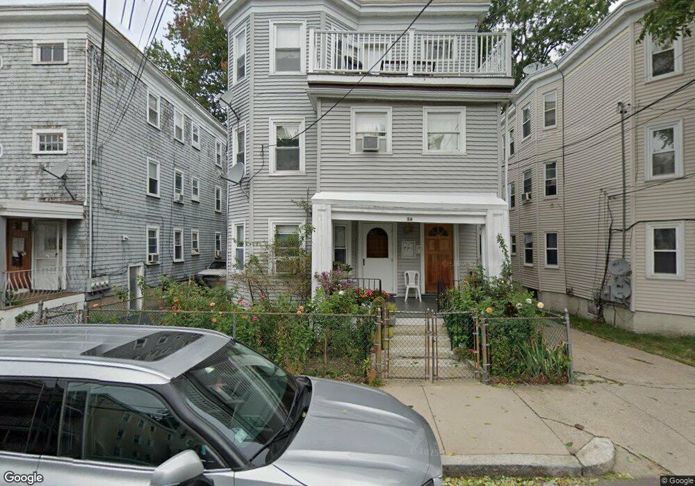
34 Stellman Rd Roslindale, MA 02131
Roslindale NeighborhoodEstimated Value: $1,119,000 - $1,146,000
2
Beds
3
Baths
1,100
Sq Ft
$1,029/Sq Ft
Est. Value
About This Home
Renovated 3 bedroom, 1 bath apartment located in Roslindale. The sunny 3rd floor unit features updated kitchen with granite counter top, all new appliances, natural stained wood work through out, large living room, dining room for entertaining and a bonus room with a large closet. Tenants can enjoy the outdoors with a private deck. Laundry in unit. Owner Occupied 3 Family, One Parking spot in driveway.
Ownership History
Date
Name
Owned For
Owner Type
Purchase Details
Closed on
Nov 21, 2019
Sold by
Lambrianidis Nikolaos and Lambrianidis Maria
Bought by
Lambrianidis Ft 2019
Current Estimated Value
Create a Home Valuation Report for This Property
The Home Valuation Report is an in-depth analysis detailing your home's value as well as a comparison with similar homes in the area
Home Values in the Area
Average Home Value in this Area
Purchase History
| Date | Buyer | Sale Price | Title Company |
|---|---|---|---|
| Lambrianidis Ft 2019 | -- | None Available |
Source: Public Records
Property History
| Date | Event | Price | List to Sale | Price per Sq Ft |
|---|---|---|---|---|
| 10/08/2024 10/08/24 | Off Market | $2,500 | -- | -- |
| 10/02/2024 10/02/24 | Price Changed | $2,500 | -7.4% | $3 / Sq Ft |
| 10/01/2024 10/01/24 | For Rent | $2,700 | +3.8% | -- |
| 09/24/2024 09/24/24 | Price Changed | $2,600 | -- | $3 / Sq Ft |
Tax History Compared to Growth
Tax History
| Year | Tax Paid | Tax Assessment Tax Assessment Total Assessment is a certain percentage of the fair market value that is determined by local assessors to be the total taxable value of land and additions on the property. | Land | Improvement |
|---|---|---|---|---|
| 2025 | $10,596 | $915,000 | $226,100 | $688,900 |
| 2024 | $10,215 | $937,200 | $240,800 | $696,400 |
| 2023 | $9,587 | $892,600 | $229,400 | $663,200 |
| 2022 | $9,246 | $849,800 | $218,400 | $631,400 |
| 2021 | $8,803 | $825,000 | $212,000 | $613,000 |
| 2020 | $7,293 | $690,600 | $204,000 | $486,600 |
| 2019 | $6,616 | $627,700 | $157,200 | $470,500 |
| 2018 | $6,149 | $586,700 | $157,200 | $429,500 |
| 2017 | $5,915 | $558,500 | $157,200 | $401,300 |
| 2016 | $5,851 | $531,900 | $157,200 | $374,700 |
| 2015 | $5,474 | $452,000 | $118,800 | $333,200 |
| 2014 | $4,928 | $391,700 | $118,800 | $272,900 |
Source: Public Records
Map
Nearby Homes
- 620 South St
- 39 Harrison St Unit B
- 4031 Washington St
- 25 Harrison St Unit C
- 21 Bexley Rd
- 173 Brookway Rd
- 108 Florence St Unit 3
- 108 Florence St Unit 1
- 108 Florence St Unit 2
- 375 Hyde Park Ave Unit 3
- 391 Hyde Park Ave Unit 112
- 20 Taft Hill Park Unit 5
- 12 Wyvern St Unit 2
- 18-20 Northbourne Rd Unit 18
- 67 Cummins Hwy Unit 101
- 46 Southbourne Rd
- 5 Eldridge Rd Unit 3
- 36 Neponset Ave Unit 1
- 27 Rowe St
- 32 Jewett St
- 34 Stellman Rd
- 34 Stellman Rd Unit 3
- 32 Stellman Rd
- 32 Stellman Rd Unit 1
- 32 Stellman Rd
- 32 Stellman Rd Unit 2
- 32 Stellman Rd Unit 3
- 36 Stellman Rd
- 36 Stellman Rd Unit 3
- 38 Stellman Rd
- 29 Granfield Ave
- 30 Stellman Rd
- 30 Stellman Rd Unit 30 stellman rd apt2
- 31 Granfield Ave
- 33 Granfield Ave
- 40 Stellman Rd
- 40 Stellman Rd Unit THREE
- 40 Stellman Rd Unit 2
- 40 Stellman Rd Unit 1
- 40 Stellman Rd Unit 3