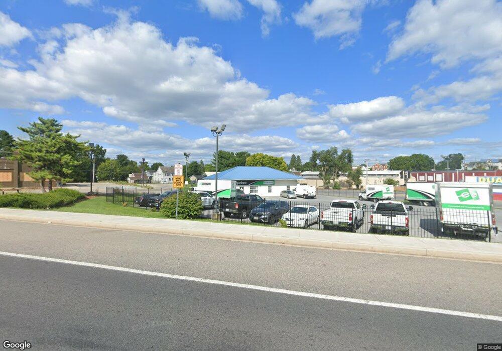
340 Dual Hwy Hagerstown, MD 21740
East End Neighborhood
--
Bed
--
Bath
1,904
Sq Ft
0.75
Acres
About This Home
This home is located at 340 Dual Hwy, Hagerstown, MD 21740. 340 Dual Hwy is a home located in Washington County with nearby schools including Ruth Ann Monroe Primary School, Eastern Elementary School, and E. Russell Hicks Middle School.
Ownership History
Date
Name
Owned For
Owner Type
Purchase Details
Closed on
May 14, 2013
Sold by
Haymes Properties Llc
Bought by
Hbp Group Llc
Home Financials for this Owner
Home Financials are based on the most recent Mortgage that was taken out on this home.
Original Mortgage
$628,000
Outstanding Balance
$444,405
Interest Rate
3.45%
Mortgage Type
Purchase Money Mortgage
Purchase Details
Closed on
Dec 13, 2000
Sold by
Howard Pearl Stephen and Howard Bridget A
Bought by
Haymes Properties Llc
Purchase Details
Closed on
Jan 28, 1999
Sold by
Crawford Claude L
Bought by
Howard Pearl Stephen and Howard Bridget A
Create a Home Valuation Report for This Property
The Home Valuation Report is an in-depth analysis detailing your home's value as well as a comparison with similar homes in the area
Home Values in the Area
Average Home Value in this Area
Purchase History
| Date | Buyer | Sale Price | Title Company |
|---|---|---|---|
| Hbp Group Llc | $785,000 | Rgs Title Llc | |
| Haymes Properties Llc | $130,000 | -- | |
| Howard Pearl Stephen | $90,000 | -- |
Source: Public Records
Mortgage History
| Date | Status | Borrower | Loan Amount |
|---|---|---|---|
| Open | Hbp Group Llc | $628,000 |
Source: Public Records
Tax History Compared to Growth
Tax History
| Year | Tax Paid | Tax Assessment Tax Assessment Total Assessment is a certain percentage of the fair market value that is determined by local assessors to be the total taxable value of land and additions on the property. | Land | Improvement |
|---|---|---|---|---|
| 2025 | $5,977 | $656,600 | $390,400 | $266,200 |
| 2024 | $5,977 | $656,133 | $0 | $0 |
| 2023 | $5,973 | $655,667 | $0 | $0 |
| 2022 | $5,969 | $655,200 | $390,400 | $264,800 |
| 2021 | $6,565 | $655,200 | $390,400 | $264,800 |
| 2020 | $6,099 | $655,200 | $390,400 | $264,800 |
| 2019 | $6,182 | $661,200 | $390,400 | $270,800 |
| 2018 | $1,871 | $661,200 | $390,400 | $270,800 |
| 2017 | $1,871 | $661,200 | $0 | $0 |
| 2016 | -- | $669,900 | $0 | $0 |
| 2015 | $11,458 | $611,867 | $0 | $0 |
| 2014 | $11,458 | $553,833 | $0 | $0 |
Source: Public Records
Map
Nearby Homes
- 312 E Franklin St
- 51 N Cannon Ave
- 351 Liberty St
- 414 E Franklin St
- 338 Liberty St
- 136 N Cannon Ave
- 228 E Washington St
- 35 N Cleveland Ave
- 15 S Cannon Ave
- 200 E Franklin St
- 329 Antietam E
- 440 Liberty St
- 16 S Mulberry St
- 112 S Cannon Ave
- 207 N Mulberry St
- 142 East Ave
- 200 E Antietam St
- 115 East Ave
- 360 S Cannon Ave
- 133 Randolph Ave
- 350 Dual Hwy
- 330 Dual Hwy
- 925 Hamilton 925-927 Blvd Unit 3N
- 925 Hamilton 925-927 Blvd
- 147 Locust 147 St S
- 101105 Washington E
- 353 E Franklin St
- 330 E Washington St
- 0 E Franklin St Unit 6032142-8877598
- 0 E Franklin St Unit 7817049-11684636
- 0 E Franklin St Unit 6032142-11395400
- 367 E Franklin St
- 34 N Cannon Ave
- 322 1/2 E Franklin St
- 322 E Franklin St
- 52 54 & 5 N Cannon Ave
- 330 E Franklin St
- 338 E Franklin St
- 328 E Franklin St
- 326 E Franklin St