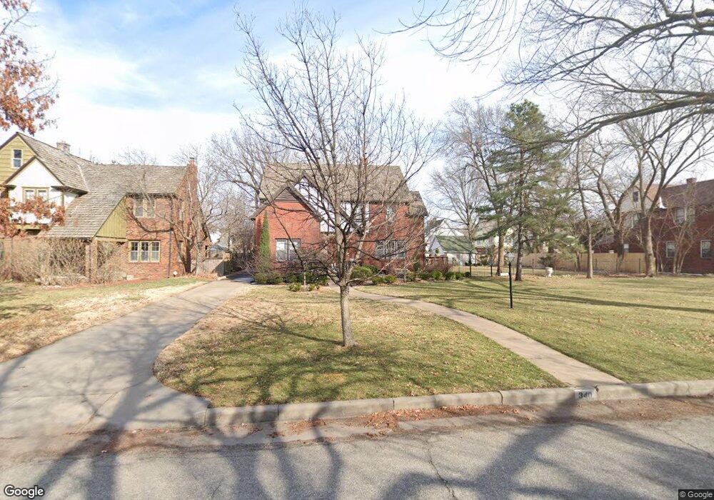
340 N Pershing St Wichita, KS 67208
College Hill NeighborhoodEstimated Value: $402,868 - $417,000
3
Beds
2
Baths
2,826
Sq Ft
$145/Sq Ft
Est. Value
About This Home
This home is located at 340 N Pershing St, Wichita, KS 67208 and is currently estimated at $409,934, approximately $145 per square foot. 340 N Pershing St is a home located in Sedgwick County with nearby schools including Hyde Leadership and International Exploration Magnet Elementary, Robinson Middle School, and Wichita High School East.
Ownership History
Date
Name
Owned For
Owner Type
Purchase Details
Closed on
May 17, 2016
Sold by
Pluenneke Harold C
Bought by
Petzold Karl W and Ellis Catherine C
Current Estimated Value
Home Financials for this Owner
Home Financials are based on the most recent Mortgage that was taken out on this home.
Original Mortgage
$202,000
Outstanding Balance
$160,438
Interest Rate
3.59%
Mortgage Type
New Conventional
Estimated Equity
$249,496
Create a Home Valuation Report for This Property
The Home Valuation Report is an in-depth analysis detailing your home's value as well as a comparison with similar homes in the area
Home Values in the Area
Average Home Value in this Area
Purchase History
| Date | Buyer | Sale Price | Title Company |
|---|---|---|---|
| Petzold Karl W | $252,500 | Security 1St Title |
Source: Public Records
Mortgage History
| Date | Status | Borrower | Loan Amount |
|---|---|---|---|
| Open | Petzold Karl W | $202,000 |
Source: Public Records
Tax History Compared to Growth
Tax History
| Year | Tax Paid | Tax Assessment Tax Assessment Total Assessment is a certain percentage of the fair market value that is determined by local assessors to be the total taxable value of land and additions on the property. | Land | Improvement |
|---|---|---|---|---|
| 2025 | $4,082 | $41,274 | $9,120 | $32,154 |
| 2023 | $4,082 | $37,145 | $8,901 | $28,244 |
| 2022 | $3,758 | $33,373 | $8,395 | $24,978 |
| 2021 | $3,654 | $31,786 | $3,565 | $28,221 |
| 2020 | $3,668 | $31,786 | $3,565 | $28,221 |
| 2019 | $3,674 | $31,786 | $3,565 | $28,221 |
| 2018 | $3,543 | $30,567 | $3,565 | $27,002 |
| 2017 | $3,564 | $0 | $0 | $0 |
| 2016 | $3,560 | $0 | $0 | $0 |
| 2015 | $3,642 | $0 | $0 | $0 |
| 2014 | $3,679 | $0 | $0 | $0 |
Source: Public Records
Map
Nearby Homes
- 305 N Oliver Ave
- 425 N Dellrose Ave
- 246 N Oliver Ave
- 414 N Bleckley Dr
- 216 N Terrace Dr
- 440 N Crestway St
- 421 N Harding Ave
- 331 N Coronado Place
- 433 N Crestway St
- 139 N Dellrose Ave
- 202 N Glendale St
- 130 N Terrace Dr
- 5109 E 3rd St N
- 116 N Glendale Ave
- 5204 Plaza Ln
- 437 N Fountain St
- 337 N Parkwood Ln
- 333 N Bluff St
- 4907 E Murdock St
- 537 N Fountain St
- 348 N Pershing St
- 332 N Pershing St
- 347 N Dellrose St
- 350 N Pershing St
- 341 N Dellrose St
- 337 N Dellrose St
- 328 N Pershing St
- 333 N Dellrose Ave
- 357 N Dellrose St
- 333 N Dellrose St
- 331 N Pershing St
- 319 N Dellrose St
- 316 N Pershing St
- 402 N Pershing St
- 401 N Dellrose Ave
- 315 N Dellrose St
- 401 N Dellrose St
- 406 N Pershing St
- 338 N Dellrose St
- 352 N Dellrose St