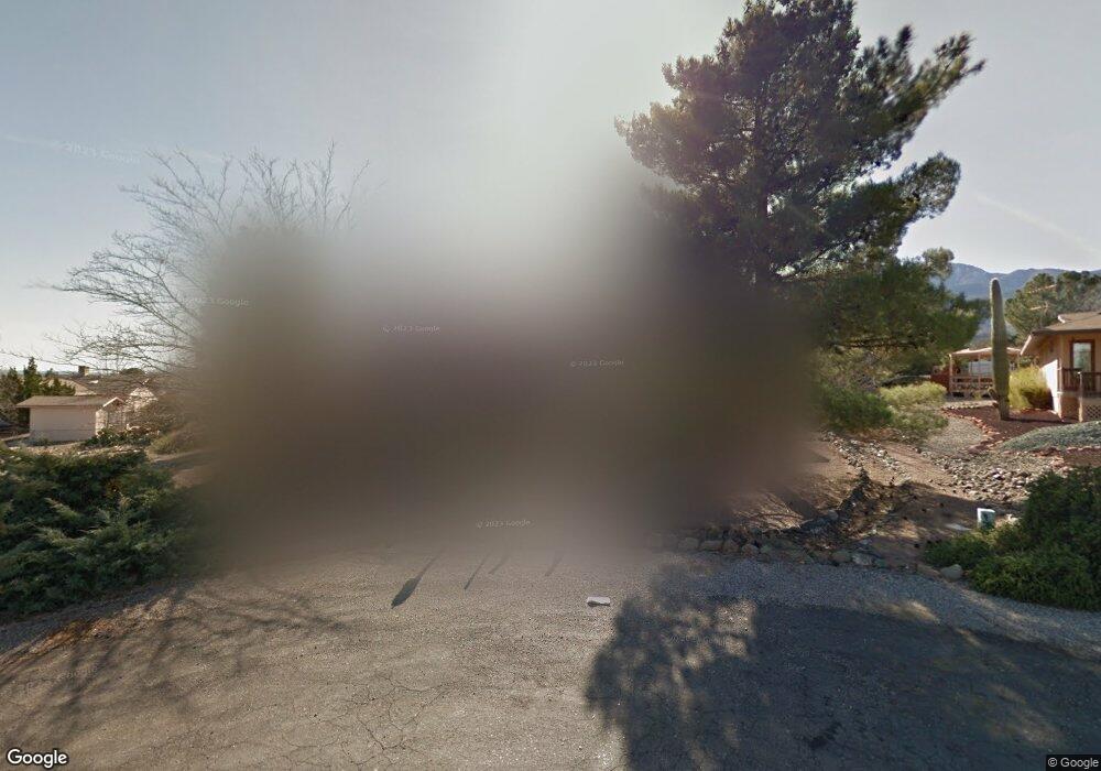
341 Summer Cir Unit 1 Clarkdale, AZ 86324
4
Beds
--
Bath
2,145
Sq Ft
0.71
Acres
About This Home
This home is located at 341 Summer Cir Unit 1, Clarkdale, AZ 86324. 341 Summer Cir Unit 1 is a home located in Yavapai County with nearby schools including Cottonwood Elementary School, Dr Daniel Bright Elementary School, and Cottonwood Community School.
Ownership History
Date
Name
Owned For
Owner Type
Purchase Details
Closed on
Jun 4, 2013
Sold by
Williams Mary C
Bought by
Austell Margaret C
Purchase Details
Closed on
May 13, 2013
Sold by
Austell Margaret C
Bought by
Shuttleworth Edwin B and Shuttleworth Linda C
Purchase Details
Closed on
May 24, 2004
Sold by
Oconnor Connie and Oconnor Kathleen
Bought by
Williams Mary C
Purchase Details
Closed on
Nov 14, 2000
Sold by
Andersen Earl R and Andersen Mary E
Bought by
Oconnor Connie and Oconnor Kathleen
Purchase Details
Closed on
Dec 21, 1995
Sold by
Reed Jean D and Reed Hazel J
Bought by
Andersen Earl R and Andersen Mary E
Home Financials for this Owner
Home Financials are based on the most recent Mortgage that was taken out on this home.
Original Mortgage
$10,000
Interest Rate
7.36%
Mortgage Type
Seller Take Back
Create a Home Valuation Report for This Property
The Home Valuation Report is an in-depth analysis detailing your home's value as well as a comparison with similar homes in the area
Home Values in the Area
Average Home Value in this Area
Purchase History
| Date | Buyer | Sale Price | Title Company |
|---|---|---|---|
| Austell Margaret C | -- | Lawyers Title Of Arizona Inc | |
| Shuttleworth Edwin B | $221,500 | Lawyers Title Of Arizona Inc | |
| Williams Mary C | $265,000 | Chicago Title Ins Co | |
| Oconnor Connie | $158,500 | Capital Title Agency Inc | |
| Andersen Earl R | $130,000 | Yavapai Coconino Title Agenc |
Source: Public Records
Mortgage History
| Date | Status | Borrower | Loan Amount |
|---|---|---|---|
| Previous Owner | Andersen Earl R | $10,000 |
Source: Public Records
Tax History Compared to Growth
Tax History
| Year | Tax Paid | Tax Assessment Tax Assessment Total Assessment is a certain percentage of the fair market value that is determined by local assessors to be the total taxable value of land and additions on the property. | Land | Improvement |
|---|---|---|---|---|
| 2026 | $2,631 | $37,359 | -- | -- |
| 2024 | $2,541 | $36,543 | -- | -- |
| 2023 | $2,541 | $28,861 | $0 | $0 |
| 2022 | $2,501 | $24,880 | $5,206 | $19,674 |
| 2021 | $2,595 | $23,002 | $5,223 | $17,779 |
| 2020 | $2,548 | $0 | $0 | $0 |
| 2019 | $2,500 | $0 | $0 | $0 |
| 2018 | $2,402 | $0 | $0 | $0 |
| 2017 | $2,298 | $0 | $0 | $0 |
| 2016 | $2,245 | $0 | $0 | $0 |
| 2015 | $2,209 | $0 | $0 | $0 |
| 2014 | $2,007 | $0 | $0 | $0 |
Source: Public Records
Map
Nearby Homes
- 2101 Canyon Dr
- 1830 W Trail Blazer Dr
- 1910 W Trail Blazer Dr
- 1869 W Trail Blazer Dr
- 421 Casner Dr
- 240 Rogers Place
- 235 S Cowboy Way
- 222 Rogers Place
- 1941 Crossroads Blvd
- 1985 Roadrunner Ct
- 265 S Latigo Way
- 293 S Wild Horse Way
- 1660 W Bronco Ln
- 1850 W Wagon Wheel Rd
- Xxxx Xxxx --
- 240 S Maverick Way
- 338 S Wild Horse Way
- 1865 W Wagon Wheel Rd
- 621 Skyline Blvd Unit 48
- 15 Alamos Dr Unit A & B