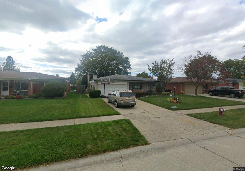
34143 Brookshire Dr Sterling Heights, MI 48312
Estimated Value: $281,790 - $332,000
--
Bed
1
Bath
1,436
Sq Ft
$208/Sq Ft
Est. Value
About This Home
This home is located at 34143 Brookshire Dr, Sterling Heights, MI 48312 and is currently estimated at $298,448, approximately $207 per square foot. 34143 Brookshire Dr is a home located in Macomb County with nearby schools including Black Elementary School, Carleton Middle School, and Paul K. Cousino High School.
Ownership History
Date
Name
Owned For
Owner Type
Purchase Details
Closed on
Sep 5, 2006
Sold by
Kaye Daniel R and Kaye Antoinette
Bought by
Velchansky Richard C
Current Estimated Value
Purchase Details
Closed on
Sep 1, 2006
Sold by
Velchansky Richard C
Bought by
Hsbc Bank Usa Na
Purchase Details
Closed on
Apr 20, 2005
Sold by
Velchansky Richard
Bought by
Kaye Daniel R and Kaye Antoinette
Purchase Details
Closed on
Apr 18, 2005
Sold by
Kaye Daniel R and Kaye Antoinette
Bought by
Velchansky Richard C
Purchase Details
Closed on
Feb 3, 1998
Sold by
Erickson A P
Bought by
Kaye D A
Create a Home Valuation Report for This Property
The Home Valuation Report is an in-depth analysis detailing your home's value as well as a comparison with similar homes in the area
Home Values in the Area
Average Home Value in this Area
Purchase History
| Date | Buyer | Sale Price | Title Company |
|---|---|---|---|
| Velchansky Richard C | -- | None Available | |
| Hsbc Bank Usa Na | $154,717 | None Available | |
| Kaye Daniel R | -- | -- | |
| Velchansky Richard C | $179,100 | -- | |
| Kaye D A | $131,000 | -- |
Source: Public Records
Tax History Compared to Growth
Tax History
| Year | Tax Paid | Tax Assessment Tax Assessment Total Assessment is a certain percentage of the fair market value that is determined by local assessors to be the total taxable value of land and additions on the property. | Land | Improvement |
|---|---|---|---|---|
| 2025 | $3,310 | $132,300 | $0 | $0 |
| 2024 | $3,193 | $128,500 | $0 | $0 |
| 2023 | $3,031 | $115,800 | $0 | $0 |
| 2022 | $2,939 | $107,700 | $0 | $0 |
| 2021 | $3,038 | $101,800 | $0 | $0 |
| 2020 | $2,888 | $98,100 | $0 | $0 |
| 2019 | $2,711 | $91,300 | $0 | $0 |
| 2018 | $2,870 | $82,200 | $0 | $0 |
| 2017 | $2,770 | $76,400 | $13,500 | $62,900 |
| 2016 | $2,711 | $76,400 | $0 | $0 |
| 2015 | -- | $71,500 | $0 | $0 |
| 2014 | -- | $62,100 | $0 | $0 |
Source: Public Records
Map
Nearby Homes
- 34400 Preston Dr
- 34137 Old Forge Ct
- 14169 Wedgewood Rd
- 34308 Greentrees Rd
- 34398 Greentrees Rd
- 34458 Heartsworth Ln
- 33732 Stonewood Dr
- 33487 Mina Dr
- 34463 Manor Run Cir
- 14712 Emerson Dr
- 33555 Groth Dr
- 34495 Orsini Dr
- 33230 Morrison Ct
- 14422 Moravian Manor Cir Unit 44
- 13830 Bathgate Dr
- 33333 Groth Dr
- 33076 Mccoy Dr
- 35418 Collingwood Dr
- 14650 Edshire Dr
- 33042 Mccoy Dr
- 34159 Brookshire Dr
- 34127 Brookshire Dr
- 34174 Coachwood Dr
- 34175 Brookshire Dr
- 34308 Coachwood Dr
- 34158 Coachwood Dr
- 34142 Coachwood Dr
- 34324 Coachwood Dr
- 34144 Brookshire Dr
- 34079 Brookshire Dr
- 34305 Brookshire Dr
- 34128 Brookshire Dr
- 34160 Brookshire Dr
- 34112 Brookshire Dr
- 34126 Coachwood Dr
- 34340 Coachwood Dr
- 34176 Brookshire Dr
- 34063 Brookshire Dr
- 34321 Brookshire Dr
- 34306 Brookshire Dr