342 Freedom Rd Oxford, WI 53952
Estimated Value: $121,000 - $236,000
--
Bed
--
Bath
--
Sq Ft
8,407
Sq Ft Lot
About This Home
This home is located at 342 Freedom Rd, Oxford, WI 53952 and is currently estimated at $170,110. 342 Freedom Rd is a home located in Adams County with nearby schools including Westfield Area High School.
Ownership History
Date
Name
Owned For
Owner Type
Purchase Details
Closed on
Oct 5, 2022
Sold by
Southern Marie
Bought by
Hippler Mark D and Hippler Michelle D.
Current Estimated Value
Purchase Details
Closed on
Oct 9, 2020
Sold by
Marie Southern
Bought by
Hippler Mark D and Hippler Michelle D
Purchase Details
Closed on
Sep 28, 2020
Sold by
William Southern
Bought by
Marie Southern Clotilde Marie Southern
Purchase Details
Closed on
May 7, 2013
Sold by
William W William W
Bought by
Southern William W and Southern Marie
Purchase Details
Closed on
May 1, 2013
Sold by
Revocable Trust Of Dorothy M Southern and Southern William W
Bought by
Southern William W
Create a Home Valuation Report for This Property
The Home Valuation Report is an in-depth analysis detailing your home's value as well as a comparison with similar homes in the area
Home Values in the Area
Average Home Value in this Area
Purchase History
| Date | Buyer | Sale Price | Title Company |
|---|---|---|---|
| Hippler Mark D | -- | Attorney Samuel J. Spurney, St | |
| Hippler Mark D | $53,000 | -- | |
| Marie Southern Clotilde Marie Southern | -- | -- | |
| Southern William W | -- | Atty Michelle L Birschbach | |
| Southern William W | -- | -- |
Source: Public Records
Tax History Compared to Growth
Tax History
| Year | Tax Paid | Tax Assessment Tax Assessment Total Assessment is a certain percentage of the fair market value that is determined by local assessors to be the total taxable value of land and additions on the property. | Land | Improvement |
|---|---|---|---|---|
| 2024 | $1,193 | $53,700 | $19,300 | $34,400 |
| 2023 | $1,171 | $53,700 | $19,300 | $34,400 |
| 2022 | $1,095 | $53,700 | $19,300 | $34,400 |
| 2021 | $1,090 | $53,700 | $19,300 | $34,400 |
| 2020 | $1,130 | $53,700 | $19,300 | $34,400 |
| 2019 | $974 | $53,700 | $19,300 | $34,400 |
| 2018 | $1,066 | $53,700 | $19,300 | $34,400 |
| 2017 | $892 | $53,700 | $19,300 | $34,400 |
| 2016 | $785 | $48,100 | $22,800 | $25,300 |
| 2015 | $736 | $48,100 | $22,800 | $25,300 |
| 2014 | $736 | $48,100 | $22,800 | $25,300 |
| 2013 | $736 | $48,100 | $22,800 | $25,300 |
Source: Public Records
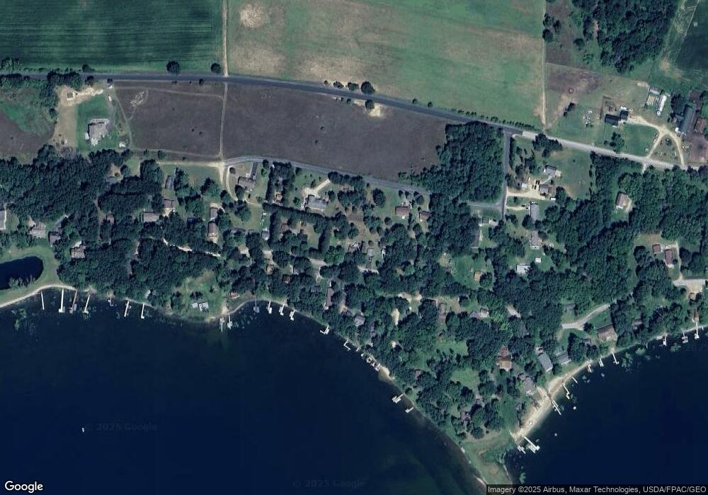
Map
Nearby Homes
- 2838 W 3rd Dr
- 459 Fur Ct
- L12 County Road G
- 4.75 Ac Fish Ct
- 227 S Fern Ln
- 3205 1st Dr
- 251 Indian Mound St
- 202 Fandrich St
- 7.75 Acres County Road G
- 221 W Ormsby St
- 409 S Miller St
- 129 E Ormsby St
- 3395 8th Ave
- W7694 Freedom Rd
- 4012 County Road G
- N2644 County Road O
- 0 Spruce Ct
- 40 AC County Road O
- W7563 Freedom Rd
- 0 County Road O
- 340 Freedom Rd
- 341 Freedom Rd
- 357 Freedom Rd
- 355 Freedom Rd
- 333 Freedom Rd
- 348 Freedom Rd
- 362 Freedom Rd
- 343 Freedom Rd
- 347 S Freedom Ln
- 349 S Freedom Ln
- 339 S Freedom Ln
- 345 Freedom Rd
- 338 Freedom Rd
- 339 Freedom Rd
- 347 Freedom Rd
- 381 S Freedom Ln
- 337 S Freedom Ln
- 349 Freedom Rd
- 352 Freedom Rd
- 351 Freedom Rd