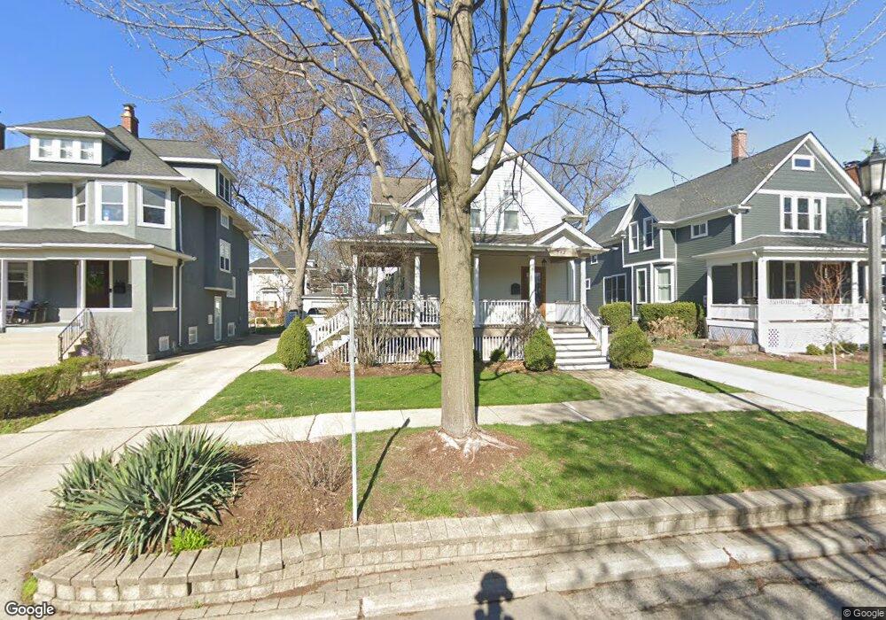
342 S Catherine Ave La Grange, IL 60525
Estimated Value: $1,031,112 - $1,104,000
4
Beds
4
Baths
2,445
Sq Ft
$437/Sq Ft
Est. Value
About This Home
This home is located at 342 S Catherine Ave, La Grange, IL 60525 and is currently estimated at $1,067,528, approximately $436 per square foot. 342 S Catherine Ave is a home located in Cook County with nearby schools including Cossitt Avenue Elementary School, Park Junior High School, and Lyons Township High School.
Ownership History
Date
Name
Owned For
Owner Type
Purchase Details
Closed on
Oct 8, 2025
Sold by
Skonning Michael L and Skonning Donna N
Bought by
Correnti Timothy and Correnti Katherine
Current Estimated Value
Purchase Details
Closed on
Jun 28, 1996
Sold by
Adler Virginia P
Bought by
Skonning Michael L and Skonning Donna N
Home Financials for this Owner
Home Financials are based on the most recent Mortgage that was taken out on this home.
Original Mortgage
$198,550
Interest Rate
8.07%
Create a Home Valuation Report for This Property
The Home Valuation Report is an in-depth analysis detailing your home's value as well as a comparison with similar homes in the area
Home Values in the Area
Average Home Value in this Area
Purchase History
| Date | Buyer | Sale Price | Title Company |
|---|---|---|---|
| Correnti Timothy | $987,000 | None Listed On Document | |
| Skonning Michael L | $209,000 | -- |
Source: Public Records
Mortgage History
| Date | Status | Borrower | Loan Amount |
|---|---|---|---|
| Previous Owner | Skonning Michael L | $198,550 |
Source: Public Records
Tax History Compared to Growth
Tax History
| Year | Tax Paid | Tax Assessment Tax Assessment Total Assessment is a certain percentage of the fair market value that is determined by local assessors to be the total taxable value of land and additions on the property. | Land | Improvement |
|---|---|---|---|---|
| 2024 | $17,220 | $67,992 | $7,380 | $60,612 |
| 2023 | $15,927 | $72,735 | $7,380 | $65,355 |
| 2022 | $15,927 | $57,662 | $5,535 | $52,127 |
| 2021 | $16,069 | $60,303 | $5,535 | $54,768 |
| 2020 | $16,782 | $63,894 | $5,535 | $58,359 |
| 2019 | $16,210 | $62,188 | $5,073 | $57,115 |
| 2018 | $17,575 | $68,378 | $5,073 | $63,305 |
| 2017 | $17,127 | $68,378 | $5,073 | $63,305 |
| 2016 | $17,386 | $61,918 | $4,458 | $57,460 |
| 2015 | $16,218 | $61,918 | $4,458 | $57,460 |
| 2014 | $15,977 | $61,918 | $4,458 | $57,460 |
| 2013 | $14,237 | $58,397 | $4,458 | $53,939 |
Source: Public Records
Map
Nearby Homes
- 334 S Ashland Ave
- 413 S Kensington Ave
- 430 S La Grange Rd
- 524 S Ashland Ave
- 115 S Spring Ave
- 510 S 6th Ave
- 509 S Brainard Ave
- 518 W Cossitt Ave
- 617 S Madison Ave
- 17 S Madison Ave
- 27 S Waiola Ave Unit 103
- 347 S 8th Ave
- 715 S Catherine Ave
- 215 E Elm Ave
- 600 8th Ave
- 736 S Ashland Ave
- 740 S La Grange Rd
- 75 E Harris Ave Unit 1E
- 424 E Maple Ave
- 25 S La Grange Rd Unit E
- 340 S Catherine Ave
- 346 S Catherine Ave
- 348 S Catherine Ave
- 336 S Catherine Ave
- 341 S Kensington Ave
- 345 S Kensington Ave
- 337 S Kensington Ave
- 330 S Catherine Ave
- 333 S Kensington Ave
- 349 S Kensington Ave
- 341 S Catherine Ave
- 329 S Kensington Ave
- 337 S Catherine Ave
- 345 S Catherine Ave
- 324 S Catherine Ave
- 333 S Catherine Ave
- 349 S Catherine Ave
- 400 S Catherine Ave
- 325 S Kensington Ave
- 327 S Catherine Ave