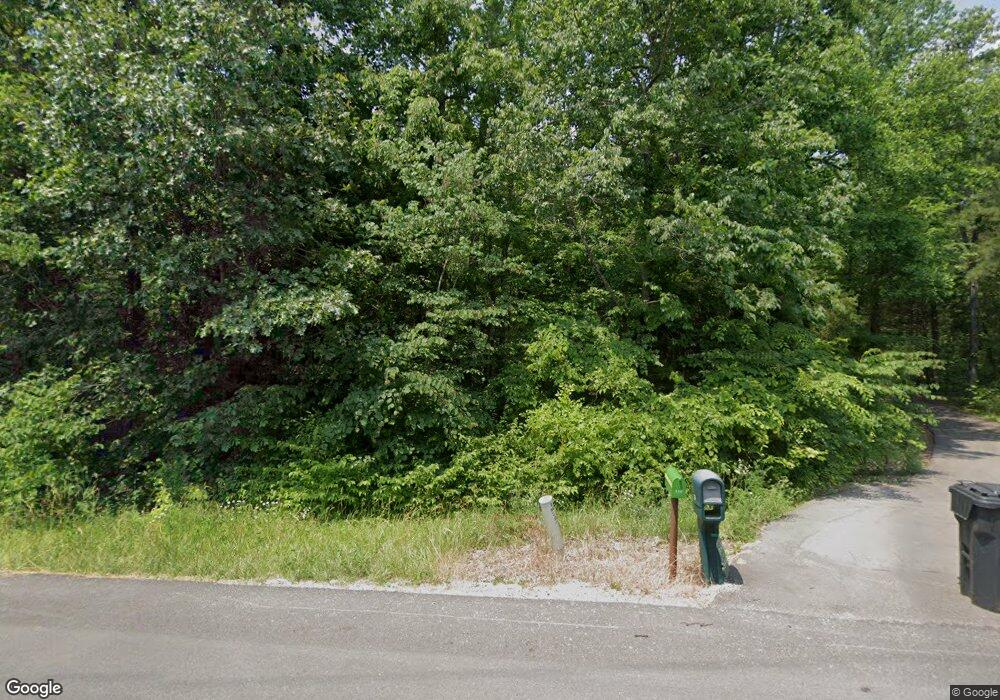
342 State Route 919 Fordsville, KY 42343
Estimated Value: $249,000 - $547,708
--
Bed
--
Bath
--
Sq Ft
1.35
Acres
About This Home
This home is located at 342 State Route 919, Fordsville, KY 42343 and is currently estimated at $389,677. 342 State Route 919 is a home with nearby schools including Ohio County Middle School and Ohio County High School.
Ownership History
Date
Name
Owned For
Owner Type
Purchase Details
Closed on
Oct 9, 2023
Sold by
Bentley Richard A
Bought by
Bentley Richard A
Current Estimated Value
Purchase Details
Closed on
Jun 21, 2022
Sold by
Young Warren B and Young Karen L
Bought by
Bentley Richard A and Boring Kelly R
Home Financials for this Owner
Home Financials are based on the most recent Mortgage that was taken out on this home.
Original Mortgage
$414,000
Interest Rate
5.52%
Mortgage Type
Construction
Purchase Details
Closed on
Sep 1, 1995
Bought by
Young Ross
Create a Home Valuation Report for This Property
The Home Valuation Report is an in-depth analysis detailing your home's value as well as a comparison with similar homes in the area
Home Values in the Area
Average Home Value in this Area
Purchase History
| Date | Buyer | Sale Price | Title Company |
|---|---|---|---|
| Bentley Richard A | $460,000 | -- | |
| Bentley Richard A | $460,000 | First American Mtg Solutions | |
| Young Ross | -- | -- |
Source: Public Records
Mortgage History
| Date | Status | Borrower | Loan Amount |
|---|---|---|---|
| Previous Owner | Bentley Richard A | $414,000 |
Source: Public Records
Tax History Compared to Growth
Tax History
| Year | Tax Paid | Tax Assessment Tax Assessment Total Assessment is a certain percentage of the fair market value that is determined by local assessors to be the total taxable value of land and additions on the property. | Land | Improvement |
|---|---|---|---|---|
| 2024 | $4,530 | $469,900 | $0 | $0 |
| 2023 | $2,309 | $240,200 | $0 | $0 |
| 2022 | $2,287 | $240,200 | $0 | $0 |
| 2021 | $1,109 | $117,700 | $0 | $0 |
| 2020 | $26 | $2,700 | $0 | $0 |
| 2019 | $25 | $2,700 | $0 | $0 |
| 2018 | $24 | $2,700 | $0 | $0 |
| 2017 | $24 | $2,700 | $0 | $0 |
| 2016 | $23 | $2,700 | $0 | $0 |
| 2015 | $22 | $2,700 | $0 | $0 |
| 2014 | -- | $2,700 | $0 | $0 |
| 2010 | -- | $2,700 | $2,700 | $0 |
Source: Public Records
Map
Nearby Homes
- 199 Wilkins Hill Ln
- 2794 Kentucky 919
- 401 Moxley Ln
- 0 Vic Young Rd
- 0 Dan Station Rd Unit 11546184
- 63 Barretts Rd
- 39 Newton Ln
- 0 Mc Grady Creek Rd
- 0 State Route 629 Unit 1689003
- 0 Highway 629 Unit HK25002313
- 176 Mulberry St
- 591 Denton Slack Rd
- 6215 Hwy 54 E
- 226 W Main St
- 12433 Highway 629
- 438 Ridenours Way
- 76 Lafayette Rd
- 77 Lafayette Rd
- 10868 Hwy 629
- 809 Mount Vernon Rd
