3443 Airport Rd Siler City, NC 27344
Estimated Value: $268,000 - $334,402
3
Beds
2
Baths
1,680
Sq Ft
$181/Sq Ft
Est. Value
About This Home
This home is located at 3443 Airport Rd, Siler City, NC 27344 and is currently estimated at $304,351, approximately $181 per square foot. 3443 Airport Rd is a home located in Chatham County with nearby schools including Siler City Elementary School, Chatham Middle, and Jordan Matthews High.
Ownership History
Date
Name
Owned For
Owner Type
Purchase Details
Closed on
Aug 24, 2006
Sold by
Brown Robyn A
Bought by
Evans Gregory L
Home Financials for this Owner
Home Financials are based on the most recent Mortgage that was taken out on this home.
Original Mortgage
$136,800
Outstanding Balance
$80,900
Interest Rate
6.58%
Mortgage Type
Unknown
Estimated Equity
$223,451
Create a Home Valuation Report for This Property
The Home Valuation Report is an in-depth analysis detailing your home's value as well as a comparison with similar homes in the area
Home Values in the Area
Average Home Value in this Area
Purchase History
| Date | Buyer | Sale Price | Title Company |
|---|---|---|---|
| Evans Gregory L | $144,000 | None Available |
Source: Public Records
Mortgage History
| Date | Status | Borrower | Loan Amount |
|---|---|---|---|
| Open | Evans Gregory L | $136,800 |
Source: Public Records
Tax History Compared to Growth
Tax History
| Year | Tax Paid | Tax Assessment Tax Assessment Total Assessment is a certain percentage of the fair market value that is determined by local assessors to be the total taxable value of land and additions on the property. | Land | Improvement |
|---|---|---|---|---|
| 2025 | $2,990 | $353,861 | $61,168 | $292,693 |
| 2024 | $1,383 | $163,696 | $45,376 | $118,320 |
| 2023 | $1,318 | $163,696 | $45,376 | $118,320 |
| 2022 | $1,285 | $163,696 | $45,376 | $118,320 |
| 2021 | $1,014 | $163,696 | $45,376 | $118,320 |
| 2020 | $1,014 | $141,249 | $35,090 | $106,159 |
| 2019 | $1,241 | $141,249 | $35,090 | $106,159 |
| 2018 | $0 | $141,249 | $35,090 | $106,159 |
| 2017 | $1,139 | $141,249 | $35,090 | $106,159 |
| 2016 | $1,227 | $152,261 | $35,090 | $117,171 |
| 2015 | $1,209 | $152,261 | $35,090 | $117,171 |
| 2014 | $1,209 | $152,261 | $35,090 | $117,171 |
| 2013 | -- | $152,261 | $35,090 | $117,171 |
Source: Public Records
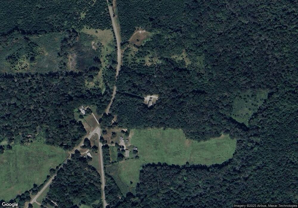
Map
Nearby Homes
- 321 Gilliland Rd
- 247 Gilliland Rd
- 367 Gilliland Rd
- 677 Lambert Chapel Rd
- 0 Coleridge Rd
- 9 Pine Court Dr
- 327 Poplar Trail
- 11 Pine Forest Dr
- 191 Pine Lake Dr
- 0 Airport Rd Unit 10131777
- 254 Pine Forest Dr
- 3125 W 3rd St
- 2200 W 3rd St
- 2248 W 3rd St
- 1306 Sunset Dr
- 0 Burgess Cattle Dr
- 128 Olde Manor Ct
- 0 W 3rd St
- 513 W Glendale St
- 0 Bonlee Rd Unit 10104372
- 3509 Airport Rd
- 3371 Airport Rd
- 3538 Airport Rd
- 3591 Airport Rd
- 3234 Airport Rd
- 2288 Oakley Church Rd
- 2391 Oakley Church Rd
- 3161 Airport Rd
- 3214 Airport Rd
- 3847 Airport Rd
- 2185 Oakley Church Rd
- 3786 Airport Rd
- 3814 Airport Rd
- 2101 Oakley Church Rd
- 3060 Airport Rd
- 21 Hal Clark Rd
- 1931 Oakley Church Rd
- 151 Jim Paige Rd
- 190 Jim Paige Rd
- 215 Jim Paige Rd