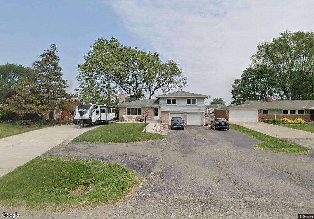
345 S Cass Lake Rd Waterford, MI 48328
Waterford Township NeighborhoodEstimated Value: $368,000 - $458,000
3
Beds
2
Baths
1,852
Sq Ft
$223/Sq Ft
Est. Value
About This Home
This home is located at 345 S Cass Lake Rd, Waterford, MI 48328 and is currently estimated at $412,863, approximately $222 per square foot. 345 S Cass Lake Rd is a home located in Oakland County with nearby schools including Donelson Hills Elementary School, Mason Middle School, and Waterford Mott High School.
Ownership History
Date
Name
Owned For
Owner Type
Purchase Details
Closed on
Jun 29, 2012
Sold by
Akkashian Karen M and Jones Karen M
Bought by
Akkashian Karen M
Current Estimated Value
Home Financials for this Owner
Home Financials are based on the most recent Mortgage that was taken out on this home.
Original Mortgage
$186,760
Outstanding Balance
$129,890
Interest Rate
3.83%
Mortgage Type
New Conventional
Estimated Equity
$282,973
Purchase Details
Closed on
Apr 25, 2003
Sold by
Casha Joseph Frances and Casha Marilyn Ann
Bought by
Jones Karen M
Create a Home Valuation Report for This Property
The Home Valuation Report is an in-depth analysis detailing your home's value as well as a comparison with similar homes in the area
Home Values in the Area
Average Home Value in this Area
Purchase History
| Date | Buyer | Sale Price | Title Company |
|---|---|---|---|
| Akkashian Karen M | -- | Peoples First Title Agency L | |
| Jones Karen M | $265,000 | -- |
Source: Public Records
Mortgage History
| Date | Status | Borrower | Loan Amount |
|---|---|---|---|
| Open | Akkashian Karen M | $186,760 |
Source: Public Records
Tax History Compared to Growth
Tax History
| Year | Tax Paid | Tax Assessment Tax Assessment Total Assessment is a certain percentage of the fair market value that is determined by local assessors to be the total taxable value of land and additions on the property. | Land | Improvement |
|---|---|---|---|---|
| 2024 | $2,485 | $182,610 | $0 | $0 |
| 2023 | $2,313 | $172,190 | $0 | $0 |
| 2022 | $3,762 | $153,040 | $0 | $0 |
| 2021 | $3,573 | $151,960 | $0 | $0 |
| 2020 | $2,118 | $146,640 | $0 | $0 |
| 2019 | $3,494 | $144,900 | $0 | $0 |
| 2018 | $3,456 | $123,140 | $0 | $0 |
| 2017 | $3,168 | $123,140 | $0 | $0 |
| 2016 | $3,163 | $124,270 | $0 | $0 |
| 2015 | -- | $121,120 | $0 | $0 |
| 2014 | -- | $96,810 | $0 | $0 |
| 2011 | -- | $85,340 | $0 | $0 |
Source: Public Records
Map
Nearby Homes
- 321 Beverly Estates Dr Unit 5
- The Dover Plan at Hogarth
- The Dawson Plan at Hogarth
- The Concord Plan at Hogarth
- The Everest Plan at Hogarth
- 433 Hogarth St
- 425 Hogarth St
- 424 Hogarth St
- 345 Beverly Island Dr
- 540 Lake Village Ave
- 581 S Winding Dr
- 603 Woodingham Ave
- 3014 Edgewater Dr
- 445 Lakeside Dr
- 715 Woodingham Ave
- 3066 W Huron St
- 3860 Lawley Ave
- 126 S Roslyn Rd
- 4003 Elmhurst Rd
- 3977 Cresthaven Dr
- 359 S Cass Lake Rd
- 331 S Cass Lake Rd
- 317 S Cass Lake Rd
- 373 S Cass Lake Rd
- 303 S Cass Lake Rd
- 389 S Cass Lake Rd
- 3522 Lincolnshire Rd
- 320 S Cass Lake Rd
- 289 S Cass Lake Rd
- 405 S Cass Lake Rd
- 324 Beverly Estates Dr Unit 17
- 3521 Oakshire Ave
- 3540 Lincolnshire Rd
- 332 Beverly Estates Dr Unit 16
- 340 Beverly Estates Dr Unit 15
- Between 34 Beverly Estates
- 346 Beverly Estates Dr
- 346 Beverly Estates Dr Unit 14
- 415 S Cass Lake Rd
- 275 S Cass Lake Rd