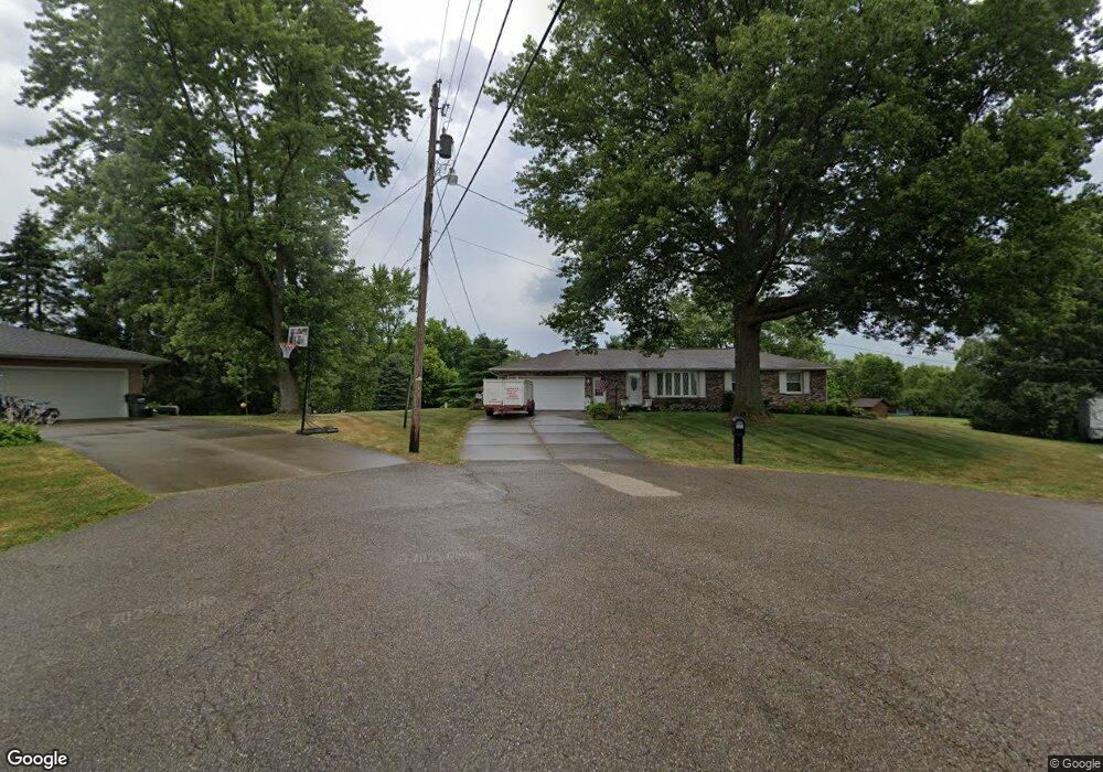
3450 Meese Rd NE Louisville, OH 44641
Estimated Value: $381,000 - $404,000
4
Beds
3
Baths
2,072
Sq Ft
$190/Sq Ft
Est. Value
About This Home
This home is located at 3450 Meese Rd NE, Louisville, OH 44641 and is currently estimated at $392,817, approximately $189 per square foot. 3450 Meese Rd NE is a home located in Stark County with nearby schools including Louisville High School.
Ownership History
Date
Name
Owned For
Owner Type
Purchase Details
Closed on
Dec 27, 2019
Sold by
Allison Thomas P and Allison Nancy K
Bought by
Bailey Lance R and Bailey Ashley D
Current Estimated Value
Home Financials for this Owner
Home Financials are based on the most recent Mortgage that was taken out on this home.
Original Mortgage
$247,000
Outstanding Balance
$218,654
Interest Rate
3.7%
Mortgage Type
New Conventional
Estimated Equity
$174,163
Purchase Details
Closed on
Aug 4, 1993
Create a Home Valuation Report for This Property
The Home Valuation Report is an in-depth analysis detailing your home's value as well as a comparison with similar homes in the area
Home Values in the Area
Average Home Value in this Area
Purchase History
| Date | Buyer | Sale Price | Title Company |
|---|---|---|---|
| Bailey Lance R | $260,000 | None Available | |
| -- | $177,000 | -- |
Source: Public Records
Mortgage History
| Date | Status | Borrower | Loan Amount |
|---|---|---|---|
| Open | Bailey Lance R | $247,000 |
Source: Public Records
Tax History Compared to Growth
Tax History
| Year | Tax Paid | Tax Assessment Tax Assessment Total Assessment is a certain percentage of the fair market value that is determined by local assessors to be the total taxable value of land and additions on the property. | Land | Improvement |
|---|---|---|---|---|
| 2025 | -- | $127,120 | $34,790 | $92,330 |
| 2024 | -- | $127,120 | $34,790 | $92,330 |
| 2023 | $4,832 | $98,910 | $31,430 | $67,480 |
| 2022 | $4,841 | $98,910 | $31,430 | $67,480 |
| 2021 | $4,855 | $98,910 | $31,430 | $67,480 |
| 2020 | $3,744 | $80,510 | $28,320 | $52,190 |
| 2019 | $3,760 | $80,510 | $28,320 | $52,190 |
| 2018 | $3,748 | $80,510 | $28,320 | $52,190 |
| 2017 | $3,572 | $73,300 | $21,180 | $52,120 |
| 2016 | $3,493 | $73,300 | $21,180 | $52,120 |
| 2015 | $3,507 | $73,300 | $21,180 | $52,120 |
| 2014 | $1,519 | $68,150 | $19,710 | $48,440 |
| 2013 | $1,764 | $68,150 | $19,710 | $48,440 |
Source: Public Records
Map
Nearby Homes
- 3390 Meese Rd NE
- 2110 Edmar St
- 8225 Georgetown St
- 1812 E Broad St
- 1715 High St
- 908 Sand Lot Cir
- 641 S Nickelplate St
- 2015 E Main St
- 520 S Silver St
- 308 Superior St
- 728 E Broad St
- 0 Michigan Blvd
- 1702 View Pointe Ave
- 1990 Belfort Ave
- 510 S Bauman Ct
- 204 E Broad St
- 1639 Horizon Dr
- 107 E Broad St
- 2425 Miday Ave NE
- 325 Lincoln Ave
- 3450 Meese Rd NE
- 3475 Rue Depaul Ave NE
- 3408 Rue Deborah St
- 8940 Rue Helena St
- 8916 Rue Helena St
- 8958 Rue Helena St
- 3409 Rue Deborah St
- 3400 Rue Deborah St
- 8976 Rue Helena St
- 3378 Rue Deborah St
- 3401 Rue Deborah St
- 8874 Rue Helena St
- 9000 Rue Helena St
- 3362 Rue Deborah St
- 8852 Rue Helena St
- 8921 Rue Helena St
- 8941 Rue Helena St
- 3377 Rue Deborah St
- 8959 Rue Helena St
- 8903 Rue Helena St