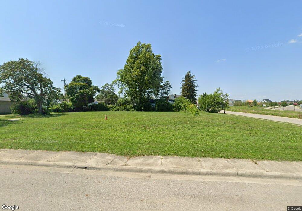
3455 Cleveland Ave Grove City, OH 43123
Estimated Value: $683,000 - $688,000
3
Beds
2
Baths
2,212
Sq Ft
$310/Sq Ft
Est. Value
About This Home
This home is located at 3455 Cleveland Ave, Grove City, OH 43123 and is currently estimated at $685,500, approximately $309 per square foot. 3455 Cleveland Ave is a home located in Franklin County with nearby schools including Park Street Intermediate School, Richard Avenue Elementary School, and Central Crossing High School.
Ownership History
Date
Name
Owned For
Owner Type
Purchase Details
Closed on
Apr 30, 2024
Sold by
Townsend Construction Company
Bought by
Bp Crossing Llc
Current Estimated Value
Purchase Details
Closed on
Dec 15, 2021
Sold by
Baker Daniel F and Baker Lorrin E
Bought by
Townsend Construction Company Inc
Purchase Details
Closed on
Dec 3, 1990
Bought by
Baker Daniel F
Purchase Details
Closed on
Nov 1, 1986
Create a Home Valuation Report for This Property
The Home Valuation Report is an in-depth analysis detailing your home's value as well as a comparison with similar homes in the area
Home Values in the Area
Average Home Value in this Area
Purchase History
| Date | Buyer | Sale Price | Title Company |
|---|---|---|---|
| Bp Crossing Llc | $1,300,000 | Cardinal Title | |
| Townsend Construction Company Inc | $350,000 | Cardinal Title Agency | |
| Baker Daniel F | $65,000 | -- | |
| -- | $52,500 | -- |
Source: Public Records
Tax History Compared to Growth
Tax History
| Year | Tax Paid | Tax Assessment Tax Assessment Total Assessment is a certain percentage of the fair market value that is determined by local assessors to be the total taxable value of land and additions on the property. | Land | Improvement |
|---|---|---|---|---|
| 2024 | $1,636 | $35,140 | $35,140 | -- |
| 2023 | $1,613 | $35,140 | $35,140 | $0 |
| 2022 | $7,648 | $122,500 | $17,290 | $105,210 |
| 2021 | $4,658 | $74,940 | $17,290 | $57,650 |
| 2020 | $4,643 | $74,940 | $17,290 | $57,650 |
| 2019 | $4,170 | $62,440 | $14,420 | $48,020 |
| 2018 | $3,888 | $62,440 | $14,420 | $48,020 |
| 2017 | $3,880 | $62,440 | $14,420 | $48,020 |
| 2016 | $3,620 | $49,950 | $12,810 | $37,140 |
| 2015 | $3,621 | $49,950 | $12,810 | $37,140 |
| 2014 | $3,624 | $49,950 | $12,810 | $37,140 |
| 2013 | $1,710 | $49,945 | $12,810 | $37,135 |
Source: Public Records
Map
Nearby Homes
- 3543 Cleveland Ave
- 4370 Pummelo Dr
- 4357 Pummelo Dr
- 3575 Grant Ave
- 3534 Beulah Way
- 3933 Glenna Ave
- 3584 Beulah Way
- 3647 Kassidy Dr
- 3692 Beulah Park Dr
- 3163 Gunderman Ave
- 3617 Rose Ln
- 3605 Furlong Dr
- 3611 Kassidy Dr
- The Heron Plan at The Paddock at Beulah Park
- Elizabeth Plan at The Paddock at Beulah Park
- Henry Plan at The Paddock at Beulah Park
- Jordan Plan at The Paddock at Beulah Park
- Charlotte Plan at The Paddock at Beulah Park
- Theodore Plan at The Paddock at Beulah Park
- Borowiak Residence Plan at The Paddock at Beulah Park
- 3471 Cleveland Ave
- 3472 Grant Ave
- 3466 Grant Ave
- 3484 Grant Ave
- 3477 Cleveland Ave Unit 479
- 3490 Grant Ave
- 3477 479 W Cleveland Ave Unit 2
- 3477 479 W Cleveland Ave
- 3454 Grant Ave
- 3481 Cleveland Ave
- 3498 Grant Ave
- 3508 Grant Ave
- 3877 Meadow Ln
- 3856 Lincoln Ave
- 3850 Lincoln Ave
- 3487 Grant Ave
- 3483 Grant Ave
- 3871 Meadow Ln
- 3514 Grant Ave
- 3495 Grant Ave
