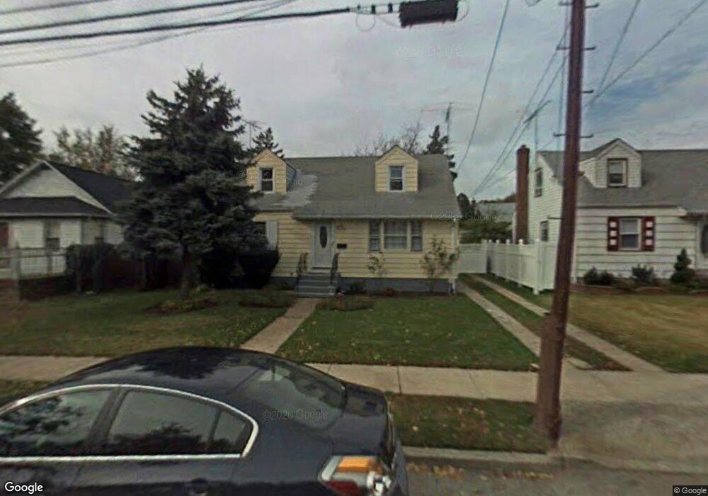
346 Newport Rd Uniondale, NY 11553
Estimated Value: $559,076 - $638,000
--
Bed
1
Bath
1,176
Sq Ft
$509/Sq Ft
Est. Value
About This Home
This home is located at 346 Newport Rd, Uniondale, NY 11553 and is currently estimated at $598,538, approximately $508 per square foot. 346 Newport Rd is a home located in Nassau County with nearby schools including California Avenue Elementary School, Lawrence Road Middle School, and Uniondale High School.
Ownership History
Date
Name
Owned For
Owner Type
Purchase Details
Closed on
Jun 29, 2005
Sold by
Wallace Orville
Bought by
Contreras Walter
Current Estimated Value
Purchase Details
Closed on
Jan 16, 1998
Sold by
Port Realty Group Llc
Bought by
Wallace Lenoris Orville
Purchase Details
Closed on
Nov 21, 1997
Sold by
Citicorp Mortgage Inc
Bought by
Port Realty Group Llc
Purchase Details
Closed on
Nov 19, 1996
Sold by
Bisceglia Phillip Referee
Bought by
Citicorp Mortgage Inc
Create a Home Valuation Report for This Property
The Home Valuation Report is an in-depth analysis detailing your home's value as well as a comparison with similar homes in the area
Home Values in the Area
Average Home Value in this Area
Purchase History
| Date | Buyer | Sale Price | Title Company |
|---|---|---|---|
| Contreras Walter | $369,500 | -- | |
| Contreras Walter | $369,500 | -- | |
| Wallace Lenoris Orville | $172,000 | -- | |
| Wallace Lenoris Orville | $172,000 | -- | |
| Port Realty Group Llc | $112,000 | -- | |
| Port Realty Group Llc | $112,000 | -- | |
| Citicorp Mortgage Inc | $117,749 | -- | |
| Citicorp Mortgage Inc | $117,749 | -- |
Source: Public Records
Tax History Compared to Growth
Tax History
| Year | Tax Paid | Tax Assessment Tax Assessment Total Assessment is a certain percentage of the fair market value that is determined by local assessors to be the total taxable value of land and additions on the property. | Land | Improvement |
|---|---|---|---|---|
| 2025 | $8,972 | $375 | $133 | $242 |
| 2024 | $3,473 | $375 | $133 | $242 |
| 2023 | $8,110 | $375 | $133 | $242 |
| 2022 | $8,110 | $375 | $133 | $242 |
| 2021 | $10,722 | $358 | $127 | $231 |
| 2020 | $8,052 | $552 | $464 | $88 |
| 2019 | $8,112 | $552 | $464 | $88 |
| 2018 | $7,778 | $552 | $0 | $0 |
| 2017 | $4,386 | $552 | $464 | $88 |
| 2016 | $7,355 | $552 | $464 | $88 |
| 2015 | $2,740 | $552 | $464 | $88 |
| 2014 | $2,740 | $552 | $464 | $88 |
| 2013 | $2,645 | $552 | $464 | $88 |
Source: Public Records
Map
Nearby Homes
- 666 Lowell Rd
- 641 Lowell Rd
- 737 Lowell Rd
- 730 Goodrich St
- 399 Hawthorne Ave
- 537 Duryea Ave
- 363 Clarendon Rd
- 240 Bedford Ave
- 727 Beck St
- 692 Beck St
- 546 Clark Place
- 335 Locust Ave
- 305 Crowell St
- 112 Rutland Rd
- 1033 Tulsa St
- 165 Lenox Ave
- 168 Lenox Ave
- 541 Bedford Ave
- 388 Maplegrove Ave
- 178 Rutland Rd