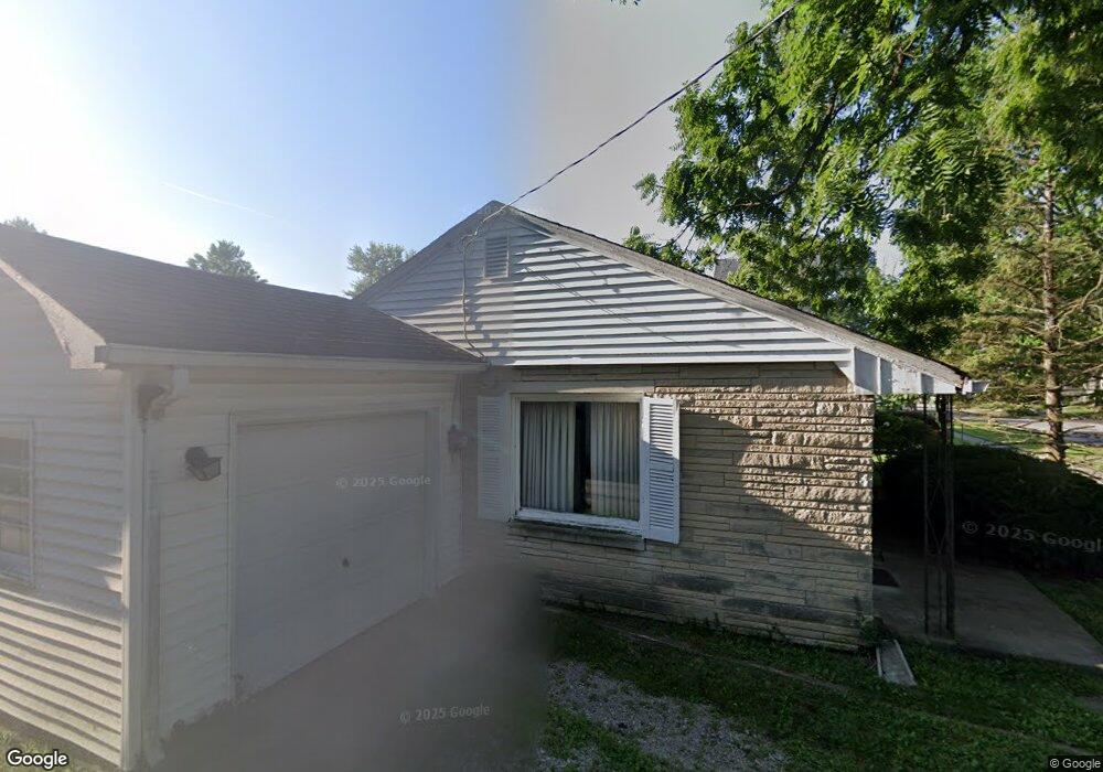
349 Hurricane St Franklin, IN 46131
Estimated Value: $171,000 - $189,000
3
Beds
1
Bath
1,008
Sq Ft
$182/Sq Ft
Est. Value
About This Home
This home is located at 349 Hurricane St, Franklin, IN 46131 and is currently estimated at $183,890, approximately $182 per square foot. 349 Hurricane St is a home located in Johnson County with nearby schools including Northwood Elementary School, Franklin Community Middle School, and Custer Baker Intermediate School.
Ownership History
Date
Name
Owned For
Owner Type
Purchase Details
Closed on
Apr 16, 2011
Sold by
Smith Jennifer Jo
Bought by
Mcginnis Rex D
Current Estimated Value
Purchase Details
Closed on
Mar 2, 2011
Sold by
Mcginnis Judith A
Bought by
Smith Jennifer Jo
Create a Home Valuation Report for This Property
The Home Valuation Report is an in-depth analysis detailing your home's value as well as a comparison with similar homes in the area
Home Values in the Area
Average Home Value in this Area
Purchase History
| Date | Buyer | Sale Price | Title Company |
|---|---|---|---|
| Mcginnis Rex D | -- | None Available | |
| Smith Jennifer Jo | -- | None Available |
Source: Public Records
Tax History Compared to Growth
Tax History
| Year | Tax Paid | Tax Assessment Tax Assessment Total Assessment is a certain percentage of the fair market value that is determined by local assessors to be the total taxable value of land and additions on the property. | Land | Improvement |
|---|---|---|---|---|
| 2025 | $1,399 | $150,700 | $12,100 | $138,600 |
| 2024 | $1,399 | $129,100 | $12,100 | $117,000 |
| 2023 | $1,147 | $114,000 | $12,100 | $101,900 |
| 2022 | $2,174 | $97,500 | $12,100 | $85,400 |
| 2021 | $2,003 | $89,800 | $9,800 | $80,000 |
| 2020 | $1,755 | $78,700 | $9,800 | $68,900 |
| 2019 | $1,617 | $72,500 | $9,800 | $62,700 |
| 2018 | $1,436 | $72,900 | $10,200 | $62,700 |
| 2017 | $1,404 | $69,700 | $10,200 | $59,500 |
| 2016 | $1,392 | $69,700 | $10,200 | $59,500 |
| 2014 | $1,370 | $68,500 | $12,400 | $56,100 |
| 2013 | $1,370 | $63,300 | $12,400 | $50,900 |
Source: Public Records
Map
Nearby Homes
- 601 Hurricane St
- 601 Duane St
- 698 Yandes St
- 750 Hurricane St
- 351 Cincinnati St
- 150 E Madison St
- 441 N Forsythe St
- 0 W 900 Hwy Unit 202537998
- 651 Hamilton Ave
- 356 N Main St
- 1121 E Adams Dr
- 700 Johnson Ave
- 1130 E Adams Dr
- 178 S Water St Unit F
- 76 E Wayne St Unit B
- 252 S Main St
- 199 Walnut St
- 253 W Madison St
- 56 Central Ave
- 419 W Jefferson St
- 500 E Adams St
- 328 Hurricane St
- 501 Kentucky St
- 549 Kentucky St
- 550 E Adams St
- 498 E Adams St
- 398 Hurricane St
- 555 Kentucky St
- 299 Hurricane St
- 545 E Adams St
- 450 E Adams St
- 350 Young St
- 598 E Adams St
- 451 Kentucky St
- 599 Kentucky St
- 551 E Adams St
- 500 Kentucky St
- 279 Hurricane St
- 448 E Adams St
- 449 Kentucky St