349 Oman Rd Bloomsburg, PA 17815
Estimated Value: $167,000 - $219,000
--
Bed
--
Bath
1,232
Sq Ft
$161/Sq Ft
Est. Value
About This Home
This home is located at 349 Oman Rd, Bloomsburg, PA 17815 and is currently estimated at $198,481, approximately $161 per square foot. 349 Oman Rd is a home located in Columbia County with nearby schools including Central Columbia Elementary School, Central Columbia Middle School, and Central Columbia Senior High School.
Ownership History
Date
Name
Owned For
Owner Type
Purchase Details
Closed on
Apr 23, 2021
Sold by
Fester Steven D and Fester Tami L
Bought by
Fester Erik Steven
Current Estimated Value
Home Financials for this Owner
Home Financials are based on the most recent Mortgage that was taken out on this home.
Original Mortgage
$80,000
Outstanding Balance
$60,167
Interest Rate
3.1%
Mortgage Type
New Conventional
Estimated Equity
$138,314
Purchase Details
Closed on
Mar 14, 2016
Sold by
Rattray Deborah and The Estate Of Paul R Knorr
Bought by
Fester Steven D and Fester Tami L
Purchase Details
Closed on
Jul 15, 1983
Bought by
Knorr Paul R and Knorr Miriam J
Create a Home Valuation Report for This Property
The Home Valuation Report is an in-depth analysis detailing your home's value as well as a comparison with similar homes in the area
Home Values in the Area
Average Home Value in this Area
Purchase History
| Date | Buyer | Sale Price | Title Company |
|---|---|---|---|
| Fester Erik Steven | -- | None Available | |
| Fester Steven D | $105,000 | Attorney | |
| Knorr Paul R | -- | -- |
Source: Public Records
Mortgage History
| Date | Status | Borrower | Loan Amount |
|---|---|---|---|
| Open | Fester Erik Steven | $80,000 |
Source: Public Records
Tax History Compared to Growth
Tax History
| Year | Tax Paid | Tax Assessment Tax Assessment Total Assessment is a certain percentage of the fair market value that is determined by local assessors to be the total taxable value of land and additions on the property. | Land | Improvement |
|---|---|---|---|---|
| 2025 | $2,038 | $31,458 | $0 | $0 |
| 2024 | $1,984 | $31,458 | $7,034 | $24,424 |
| 2023 | $1,889 | $31,458 | $7,034 | $24,424 |
| 2022 | $1,889 | $31,458 | $7,034 | $24,424 |
| 2021 | $1,889 | $31,458 | $7,034 | $24,424 |
| 2020 | $1,821 | $31,458 | $7,034 | $24,424 |
| 2019 | $1,782 | $31,458 | $7,034 | $24,424 |
| 2018 | $1,782 | $31,458 | $7,034 | $24,424 |
| 2017 | $1,758 | $31,458 | $7,034 | $24,424 |
| 2016 | -- | $31,458 | $7,034 | $24,424 |
| 2015 | -- | $31,458 | $7,034 | $24,424 |
| 2014 | -- | $31,458 | $7,034 | $24,424 |
Source: Public Records
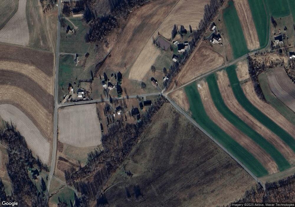
Map
Nearby Homes
- 53 Fox Hollow Rd
- 298 Peacock Corners Rd
- 139 Rotary St
- 135 Ash St
- 107 E Pebble Ln
- 63 Brentwood Cir
- 14 Fowlersville Rd
- 34 Fowlersville Rd
- 21 Levi St
- 407 Main St
- 0 Alliance Park Lot 6 Dr
- 0 Alliance Park Dr
- 568 Beilys Rd
- 370 Kline Rd
- 11 Amanda Dr
- 56 Whitmire Rd
- LOT #3 Sawmill Rd
- 9 Crestmont Cir
- 4 Kent Rd
- 925 Mcguire Rd
- 348 Oman Rd
- 361 Oman Rd
- 364 Oman Rd
- 346 Oman Rd
- 344 Whites Church Rd
- 344 Oman Rd
- 366 Whites Church Rd
- 310 Whites Church Rd
- 311 Whites Church Rd
- 342 Oman Rd
- 379 Whites Church Rd
- 265 Oman Rd
- 257 Oman Rd
- 380 Whites Church Rd
- 262 Oman Rd
- 416 Whites Church Rd
- 248 Oman Rd
- 260 Whites Church Rd
- 29 Evert Rd
- 241 Oman Rd