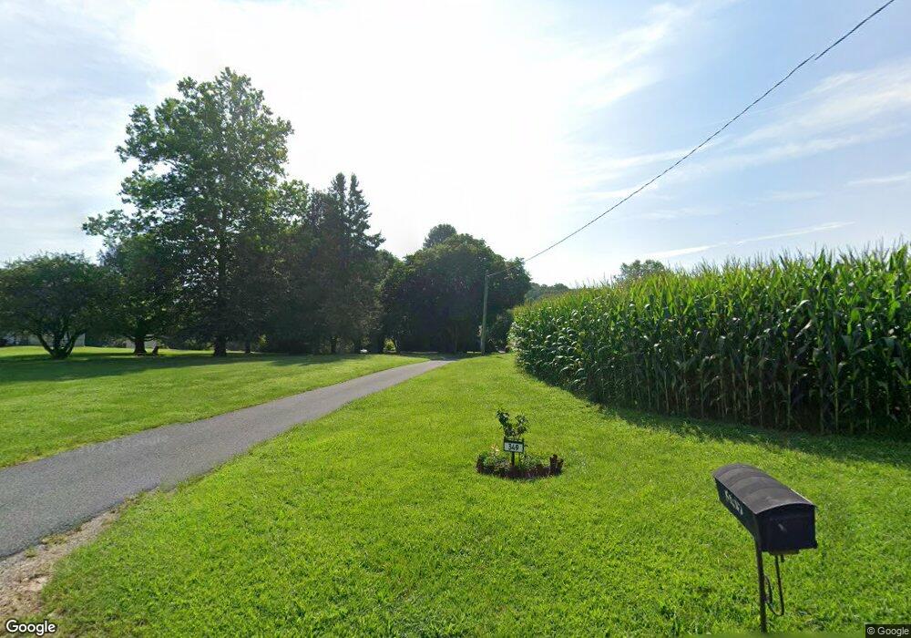
349 W Telegraph Rd Airville, PA 17302
Estimated Value: $303,000 - $463,000
3
Beds
2
Baths
1,857
Sq Ft
$194/Sq Ft
Est. Value
About This Home
This home is located at 349 W Telegraph Rd, Airville, PA 17302 and is currently estimated at $360,249, approximately $193 per square foot. 349 W Telegraph Rd is a home located in York County with nearby schools including Clearview Elementary School, Red Lion Area Junior High School, and Red Lion Area Senior High School.
Ownership History
Date
Name
Owned For
Owner Type
Purchase Details
Closed on
Sep 6, 2018
Sold by
Holloway Pearl L
Bought by
Mcfatridge Amanda L and Mcfatridge Jordan T
Current Estimated Value
Purchase Details
Closed on
Mar 6, 2007
Sold by
Holloway Clyde M and Holloway Pearl L
Bought by
Holloway Clyde M and Holloway Pearl L
Purchase Details
Closed on
Dec 9, 2006
Sold by
Reheard R Ellen and Holmes Verna E
Bought by
Holloway Clyde M and Holloway Pearl L
Purchase Details
Closed on
Jul 11, 2005
Sold by
Holloway Clyde M and Holloway Pearl L
Bought by
Holloway Clyde M and Holloway Pearl L
Create a Home Valuation Report for This Property
The Home Valuation Report is an in-depth analysis detailing your home's value as well as a comparison with similar homes in the area
Home Values in the Area
Average Home Value in this Area
Purchase History
| Date | Buyer | Sale Price | Title Company |
|---|---|---|---|
| Mcfatridge Amanda L | -- | None Available | |
| Holloway Clyde M | -- | None Available | |
| Holloway Clyde M | -- | None Available | |
| Holloway Clyde M | -- | -- |
Source: Public Records
Mortgage History
| Date | Status | Borrower | Loan Amount |
|---|---|---|---|
| Closed | Mcfatridge Amanda L | $0 |
Source: Public Records
Tax History Compared to Growth
Tax History
| Year | Tax Paid | Tax Assessment Tax Assessment Total Assessment is a certain percentage of the fair market value that is determined by local assessors to be the total taxable value of land and additions on the property. | Land | Improvement |
|---|---|---|---|---|
| 2025 | $5,055 | $161,210 | $51,310 | $109,900 |
| 2024 | $4,897 | $161,210 | $51,310 | $109,900 |
| 2023 | $4,881 | $161,210 | $51,310 | $109,900 |
| 2022 | $4,881 | $161,210 | $51,310 | $109,900 |
| 2021 | $4,720 | $161,210 | $51,310 | $109,900 |
| 2020 | $4,720 | $161,210 | $51,310 | $109,900 |
| 2019 | $4,688 | $161,210 | $51,310 | $109,900 |
| 2018 | $4,688 | $161,210 | $51,310 | $109,900 |
| 2017 | $4,683 | $161,210 | $51,310 | $109,900 |
| 2016 | $0 | $161,210 | $51,310 | $109,900 |
| 2015 | -- | $161,210 | $51,310 | $109,900 |
| 2014 | -- | $161,210 | $51,310 | $109,900 |
Source: Public Records
Map
Nearby Homes
- 8290 Woodbine Rd
- 53 Dogwood Rd
- 0 Dogwood Rd
- Lot 4 Ridge Rd
- 63 Cherry Rd
- 0 Highview Dr
- 1081 Bridgeton Rd
- 76 Laurel Dr
- 45 Wenzel Rd
- 219 Center Rd
- Parcel 859 Neill Run Rd
- 46 Corn Tassel Rd
- 55 Highfield Rd
- 115 Highfield Rd
- 216 Meadow Trail
- 65 W Mckinley Rd
- 556 Bair Rd
- 0 Valley Ln
- Lot C Bryansville Rd
- 267 Cook Rd
- 333 W Telegraph Rd
- 346 W Telegraph Rd
- 356 W Telegraph Rd
- 325 W Telegraph Rd
- 416 W Telegraph Rd
- 319 Orson Hollow Rd
- 257 W Telegraph Rd
- 460 Norris Rd
- 317 Orson Hollow Rd Unit 3
- 317 Orson Hollow Rd
- 522 Norris Rd
- 483 Norris Rd
- 412 Norris Rd
- 321 Orson Hollow Rd
- 398 Norris Rd
- 386 Norris Rd
- 541 Norris Rd
- 540 Norris Rd
- 36 Parlett Rd
- 33 Parlett Rd