Estimated Value: $353,933 - $398,000
2
Beds
2
Baths
1,430
Sq Ft
$256/Sq Ft
Est. Value
About This Home
This home is located at 35 Collins Landing Rd, Weare, NH 03281 and is currently estimated at $366,233, approximately $256 per square foot. 35 Collins Landing Rd is a home located in Hillsborough County with nearby schools including Center Woods Elementary School, Weare Middle School, and John Stark Regional High School.
Ownership History
Date
Name
Owned For
Owner Type
Purchase Details
Closed on
Jun 13, 2025
Sold by
Sheldon Ft and Sheldon
Bought by
Trapp George A
Current Estimated Value
Home Financials for this Owner
Home Financials are based on the most recent Mortgage that was taken out on this home.
Original Mortgage
$207,500
Outstanding Balance
$206,962
Interest Rate
6.76%
Mortgage Type
Purchase Money Mortgage
Estimated Equity
$159,271
Purchase Details
Closed on
Apr 27, 2017
Sold by
Couhie Michael L
Bought by
Sheldon Ft
Purchase Details
Closed on
Aug 23, 2012
Sold by
Joan M Couhie Ret and Couhie
Bought by
Couhie Michael L
Create a Home Valuation Report for This Property
The Home Valuation Report is an in-depth analysis detailing your home's value as well as a comparison with similar homes in the area
Home Values in the Area
Average Home Value in this Area
Purchase History
| Date | Buyer | Sale Price | Title Company |
|---|---|---|---|
| Trapp George A | $352,533 | None Available | |
| Trapp George A | $352,533 | None Available | |
| Sheldon Ft | $158,000 | -- | |
| Sheldon Ft | $158,000 | -- | |
| Couhie Michael L | -- | -- | |
| Couhie Michael L | -- | -- |
Source: Public Records
Mortgage History
| Date | Status | Borrower | Loan Amount |
|---|---|---|---|
| Open | Trapp George A | $207,500 | |
| Closed | Trapp George A | $207,500 | |
| Previous Owner | Couhie Michael L | $88,600 | |
| Previous Owner | Couhie Michael L | $38,000 |
Source: Public Records
Tax History Compared to Growth
Tax History
| Year | Tax Paid | Tax Assessment Tax Assessment Total Assessment is a certain percentage of the fair market value that is determined by local assessors to be the total taxable value of land and additions on the property. | Land | Improvement |
|---|---|---|---|---|
| 2024 | $5,018 | $246,100 | $0 | $246,100 |
| 2023 | $4,637 | $246,100 | $0 | $246,100 |
| 2022 | $4,282 | $246,100 | $0 | $246,100 |
| 2021 | $4,233 | $246,100 | $0 | $246,100 |
| 2020 | $3,569 | $149,000 | $0 | $149,000 |
| 2019 | $3,533 | $149,000 | $0 | $149,000 |
| 2018 | $3,032 | $150,200 | $0 | $150,200 |
| 2016 | $3,360 | $150,200 | $0 | $150,200 |
| 2015 | $3,619 | $161,500 | $0 | $161,500 |
| 2014 | $3,587 | $161,500 | $0 | $161,500 |
| 2013 | $3,513 | $161,500 | $0 | $161,500 |
Source: Public Records
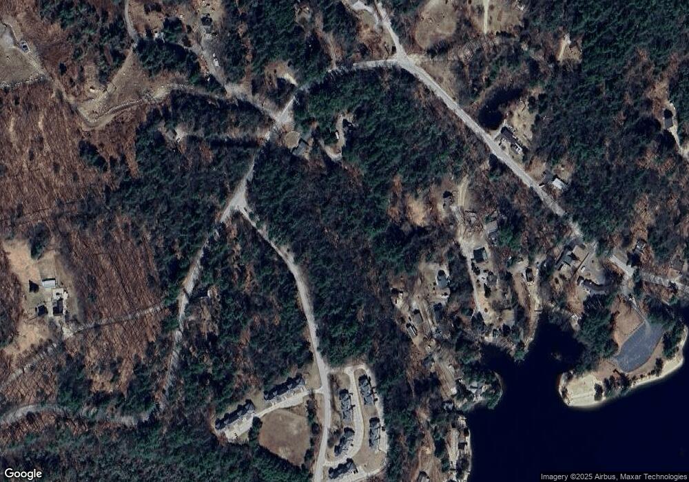
Map
Nearby Homes
- 62 Collins Landing Rd Unit 46
- 108 E Shore Dr
- 101-125 Winslow Rd
- 107 Branch Rd
- 30 Dels Way
- Lot 13 E Deering Rd
- 463 Craney Hill Rd
- 281 Hodgdon Rd
- 92 Woodbury Rd
- 194 Buckley Rd Unit 2
- 194 Buckley Rd Unit 44
- 11 White Birch Rd
- 586 C-4 Craney Hill Rd
- 9 Reservoir Rd
- 10 Sap House Rd
- 126 Fisher Rd
- 149 Bear Hill Rd
- 302 Flanders Rd
- 7-351-B Patterson Hill Rd
- 231 Patterson Hill Rd
- 62 Collins Landing Rd Unit 47
- 62 Collins Landing Rd Unit 56
- 62 Collins Landing Rd Unit 57
- 62 Collins Landing Rd Unit 66
- 62 Collins Landing Rd Unit 63
- 62 Collins Landing Rd Unit 65
- 62 Collins Landing Rd Unit 61
- 62 Collins Landing Rd Unit 59
- 62 Collins Landing Rd Unit 62
- 62 Collins Landing Rd Unit 42
- 62 Collins Landing Rd Unit 60
- 62 Collins Landing Rd Unit 43
- 62 Collins Landing Rd Unit 54
- 62 Collins Landing Rd Unit 53
- 62 Collins Landing Rd Unit 64
- 62 Collins Landing Rd Unit 63
- 62 Collins Landing Rd Unit 45
- 62 Collins Landing Rd Unit 51
- 62 Collins Landing Rd Unit 43
- 62 Collins Landing Rd Unit 56