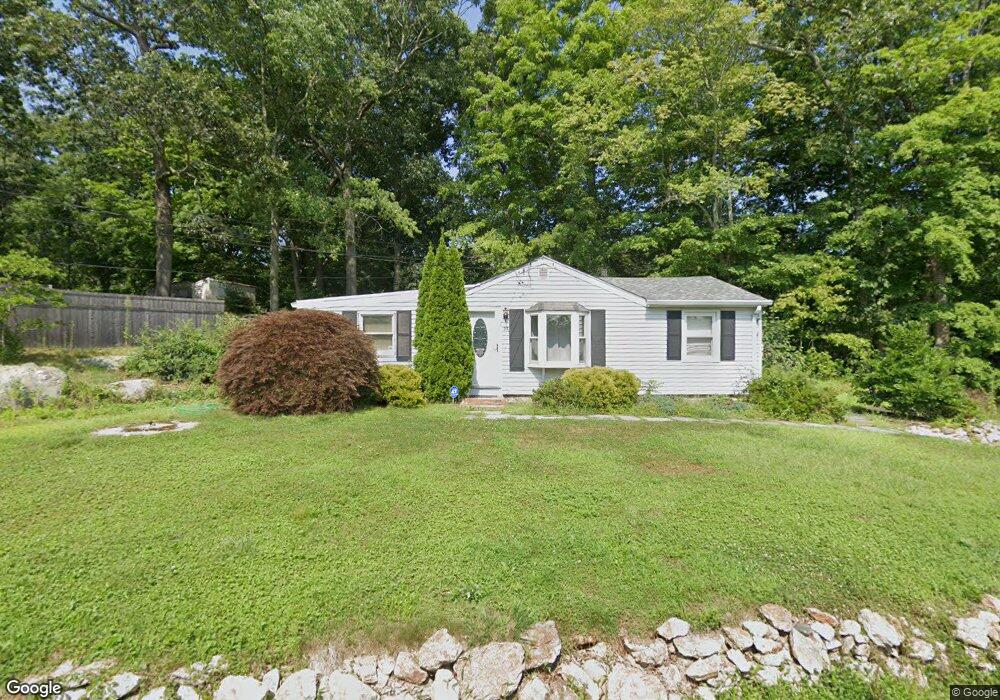
35 Lone Pine Trail Guilford, CT 06437
Estimated Value: $383,000 - $405,000
3
Beds
1
Bath
1,132
Sq Ft
$349/Sq Ft
Est. Value
About This Home
This home is located at 35 Lone Pine Trail, Guilford, CT 06437 and is currently estimated at $394,525, approximately $348 per square foot. 35 Lone Pine Trail is a home located in New Haven County with nearby schools including A. Baldwin Middle School, E.C. Adams Middle School, and Guilford High School.
Ownership History
Date
Name
Owned For
Owner Type
Purchase Details
Closed on
Sep 21, 2004
Sold by
Toscano David and Toscano Joanne M
Bought by
Helsel Theresa
Current Estimated Value
Purchase Details
Closed on
Nov 27, 2000
Sold by
Calzetta Paula A
Bought by
Toscano David
Purchase Details
Closed on
Apr 27, 1993
Sold by
Vansickle Nathan R and Vansickle Cynthia A
Bought by
Calzetta Paula A
Create a Home Valuation Report for This Property
The Home Valuation Report is an in-depth analysis detailing your home's value as well as a comparison with similar homes in the area
Home Values in the Area
Average Home Value in this Area
Purchase History
| Date | Buyer | Sale Price | Title Company |
|---|---|---|---|
| Helsel Theresa | $235,000 | -- | |
| Toscano David | $126,000 | -- | |
| Calzetta Paula A | $122,000 | -- |
Source: Public Records
Mortgage History
| Date | Status | Borrower | Loan Amount |
|---|---|---|---|
| Open | Calzetta Paula A | $238,705 | |
| Closed | Calzetta Paula A | $50,000 | |
| Closed | Calzetta Paula A | $25,250 |
Source: Public Records
Tax History Compared to Growth
Tax History
| Year | Tax Paid | Tax Assessment Tax Assessment Total Assessment is a certain percentage of the fair market value that is determined by local assessors to be the total taxable value of land and additions on the property. | Land | Improvement |
|---|---|---|---|---|
| 2025 | $4,161 | $150,500 | $102,270 | $48,230 |
| 2024 | $4,000 | $150,500 | $102,270 | $48,230 |
| 2023 | $3,895 | $150,500 | $102,270 | $48,230 |
| 2022 | $4,192 | $126,090 | $102,500 | $23,590 |
| 2021 | $4,113 | $126,090 | $102,500 | $23,590 |
| 2020 | $4,074 | $126,090 | $102,500 | $23,590 |
| 2019 | $4,039 | $126,090 | $102,500 | $23,590 |
| 2018 | $3,944 | $126,090 | $102,500 | $23,590 |
| 2017 | $3,946 | $134,400 | $107,420 | $26,980 |
| 2016 | $3,853 | $134,400 | $107,420 | $26,980 |
| 2015 | $3,795 | $134,400 | $107,420 | $26,980 |
| 2014 | $3,685 | $134,400 | $107,420 | $26,980 |
Source: Public Records
Map
Nearby Homes
- 0 Tamarack Ln Unit Lot 23 24071362
- 0 Tamarack Ln Unit Lot 19 24071360
- 604 W Lake Ave
- 38 Dinwoodie Dr
- 1270 Durham Rd
- 249 Wilderwood Dr
- 1498 Little Meadow Rd
- 15 Briarwood Dr
- 241 Jefferson Dr
- 131 Elm St
- 288 Jefferson Dr
- 1011 Route 80
- 21 Lasalette Way
- 36 Water Lily Ln
- 360 Jefferson Dr
- 54 Coachlamp Ln
- 2805 Boston Post Rd
- 1066 Long Hill Rd
- 72 Notch Hill Rd
- 66 Notch Hill Rd
- 109 Woodland Rd
- 59 Lone Pine Trail
- 48 Lone Pine Trail
- 34 Lone Pine Trail
- 32 Lone Pine Trail
- 13 Mountain Trail
- 39 Mountain Trail
- 181 Shore Dr
- 81 Woodland Rd
- 94 Woodland Rd
- 161 Shore Dr
- 116 Woodland Rd
- 128 Woodland Rd
- 157 Shore Dr
- 48 Mountain Trail
- 7 Mountain View Estates
- 138 Woodland Rd
- 203 Shore Dr
- 43 Mountain Trail
- 159 Shore Dr