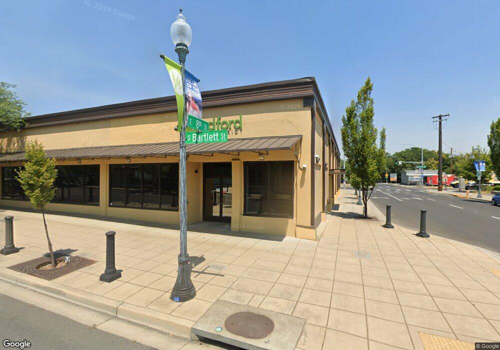
35 S Bartlett St Medford, OR 97501
Downtown Medford NeighborhoodEstimated Value: $2,226,423
--
Bed
--
Bath
12,710
Sq Ft
$175/Sq Ft
Est. Value
About This Home
This home is located at 35 S Bartlett St, Medford, OR 97501 and is currently estimated at $2,226,423, approximately $175 per square foot. 35 S Bartlett St is a home located in Jackson County with nearby schools including Jefferson Elementary School, McLoughlin Middle School, and South Medford High School.
Ownership History
Date
Name
Owned For
Owner Type
Purchase Details
Closed on
Feb 8, 2021
Sold by
Michael Yondorf and Michael Muriel Ames
Bought by
Jackson County School District
Current Estimated Value
Home Financials for this Owner
Home Financials are based on the most recent Mortgage that was taken out on this home.
Original Mortgage
$239,400
Outstanding Balance
$194,966
Interest Rate
2.6%
Mortgage Type
Purchase Money Mortgage
Estimated Equity
$2,031,457
Purchase Details
Closed on
Nov 28, 2007
Sold by
Dale Russell E and Yondorf Michael
Bought by
Yondorf & Dale Llc
Create a Home Valuation Report for This Property
The Home Valuation Report is an in-depth analysis detailing your home's value as well as a comparison with similar homes in the area
Home Values in the Area
Average Home Value in this Area
Purchase History
| Date | Buyer | Sale Price | Title Company |
|---|---|---|---|
| Jackson County School District | $1,894,000 | Ticor Title Company Of Or | |
| Michael Yondorf | -- | Ticor Title Company Of Or | |
| Yondorf & Dale Llc | -- | First American Title |
Source: Public Records
Mortgage History
| Date | Status | Borrower | Loan Amount |
|---|---|---|---|
| Open | Michael Yondorf | $239,400 |
Source: Public Records
Tax History Compared to Growth
Tax History
| Year | Tax Paid | Tax Assessment Tax Assessment Total Assessment is a certain percentage of the fair market value that is determined by local assessors to be the total taxable value of land and additions on the property. | Land | Improvement |
|---|---|---|---|---|
| 2025 | -- | -- | -- | -- |
| 2024 | -- | -- | -- | -- |
| 2023 | $8,873 | -- | -- | -- |
| 2022 | $8,873 | -- | -- | -- |
| 2021 | $8,873 | $0 | $0 | $0 |
| 2020 | $8,873 | $602,810 | $95,480 | $507,330 |
| 2019 | $0 | $0 | $0 | $0 |
| 2018 | $0 | $0 | $0 | $0 |
| 2017 | $0 | $0 | $0 | $0 |
| 2016 | $0 | $0 | $0 | $0 |
| 2015 | -- | $0 | $0 | $0 |
| 2014 | -- | $0 | $0 | $0 |
Source: Public Records
Map
Nearby Homes
- 112 S Riverside Ave
- 314 Emain St
- 318 - 322 E Main St
- 302 E Main St
- 101 S Riverside Ave
- 300 E Main St
- 121 S Riverside Ave
- 226 E Main 230 St
- 230 Main St
- 322 E Main St
- 33 S Riverside Ave
- 232 E Main St
- 232 E Main St Unit ground
- 17 S Riverside Ave
- 220 E Main St
- 226 E Main St
- 25 S Riverside Ave
- 218 E Main St
- 214 E Main St
- 404 E Main St