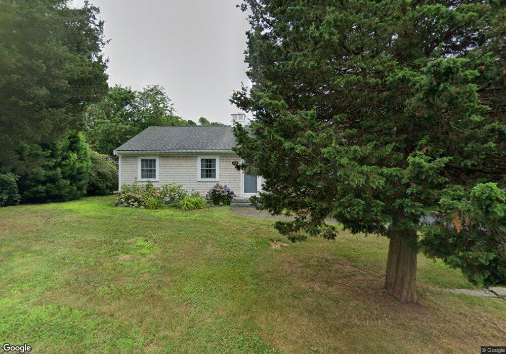
35 Spruce Dr Pocasset, MA 02559
Pocasset NeighborhoodEstimated Value: $663,000 - $763,000
3
Beds
2
Baths
1,092
Sq Ft
$657/Sq Ft
Est. Value
About This Home
This home is located at 35 Spruce Dr, Pocasset, MA 02559 and is currently estimated at $717,577, approximately $657 per square foot. 35 Spruce Dr is a home located in Barnstable County with nearby schools including Bourne High School and Cadence Academy Preschool - Bourne.
Ownership History
Date
Name
Owned For
Owner Type
Purchase Details
Closed on
Oct 17, 2025
Sold by
Thompson Manor Rt Ii and Meninno
Bought by
Janice A Meninno T A and Janice Meninno
Current Estimated Value
Purchase Details
Closed on
Mar 8, 2007
Sold by
Meninno Janice A and Meninno Michael J
Bought by
Meninno Janice A and Meninno Michael J
Create a Home Valuation Report for This Property
The Home Valuation Report is an in-depth analysis detailing your home's value as well as a comparison with similar homes in the area
Home Values in the Area
Average Home Value in this Area
Purchase History
| Date | Buyer | Sale Price | Title Company |
|---|---|---|---|
| Janice A Meninno T A | -- | -- | |
| Meninno Janice A | -- | -- | |
| Meninno Janice A | -- | -- | |
| Meninno Janice A | -- | -- |
Source: Public Records
Tax History Compared to Growth
Tax History
| Year | Tax Paid | Tax Assessment Tax Assessment Total Assessment is a certain percentage of the fair market value that is determined by local assessors to be the total taxable value of land and additions on the property. | Land | Improvement |
|---|---|---|---|---|
| 2025 | $5,085 | $651,100 | $383,900 | $267,200 |
| 2024 | $4,729 | $589,600 | $365,600 | $224,000 |
| 2023 | $4,597 | $521,800 | $323,600 | $198,200 |
| 2022 | $4,148 | $411,100 | $253,800 | $157,300 |
| 2021 | $4,031 | $374,300 | $231,000 | $143,300 |
| 2020 | $3,921 | $365,100 | $228,800 | $136,300 |
| 2019 | $3,757 | $357,500 | $228,800 | $128,700 |
| 2018 | $3,600 | $341,600 | $223,500 | $118,100 |
| 2017 | $3,484 | $338,300 | $221,400 | $116,900 |
| 2016 | $3,123 | $307,400 | $210,300 | $97,100 |
| 2015 | $2,928 | $290,800 | $193,700 | $97,100 |
Source: Public Records
Map
Nearby Homes
- 22 Nairn Rd
- 48 Red Brook Harbor Rd
- 3 Red Brook Pond Dr
- 171 Bellavista Dr
- 940 County Rd
- 34 Kenwood Rd
- 254 Barlows Landing Rd
- 45 Kenwood Rd
- 70 Wings Neck Rd
- 940 County Rd
- 709 County Rd
- 24 Richmond Rd
- 75 Winsor Rd
- 10 Squeteague Harbor Rd
- 1234 Route 28a
- 1234 Route 28a
- 89 Harbor Dr
- 7 4th Ave
- 174 Barlows Landing Rd
- 15 1st St
- 35 Seabreeze Dr
- 30 Cedar Point Dr
- 39 Spruce Dr
- 33 Spruce Dr
- 34 Spruce Dr
- 26 Cedar Point Dr
- 36 Cedar Point Dr
- 30 Spruce Dr
- 40 Spruce Dr
- 29 Spruce Dr
- 43 Spruce Dr
- 33 Cedar Point Dr
- 22 Cedar Point Dr
- 40 Cedar Point Dr
- 42 Spruce Dr
- 35 Cedar Point Dr
- 44 Spruce Dr
- 25 Cedar Point Dr
- 26 Spruce Dr
- 25 Spruce Dr