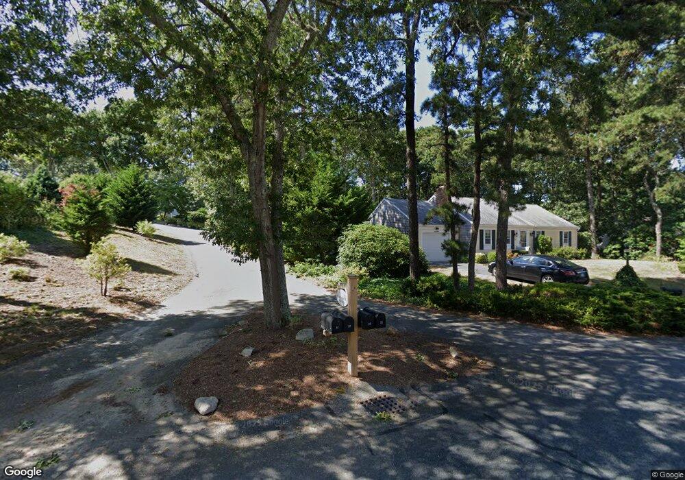
35 Wianno Rd Yarmouth Port, MA 02675
Yarmouth Port NeighborhoodEstimated Value: $618,000 - $749,000
2
Beds
3
Baths
1,420
Sq Ft
$479/Sq Ft
Est. Value
About This Home
This home is located at 35 Wianno Rd, Yarmouth Port, MA 02675 and is currently estimated at $680,649, approximately $479 per square foot. 35 Wianno Rd is a home located in Barnstable County with nearby schools including Dennis-Yarmouth Regional High School and St. Pius X. School.
Ownership History
Date
Name
Owned For
Owner Type
Purchase Details
Closed on
Jan 12, 2016
Sold by
Aitken Susan J
Bought by
S Aitken Ft and Aitken Susan J
Current Estimated Value
Purchase Details
Closed on
Jul 9, 2003
Sold by
Aitken Susan Jane and Aitken Donald J
Bought by
Aitken Susan Jane
Purchase Details
Closed on
Jan 12, 1999
Sold by
Aitken James B and Aitken Phyllis N
Bought by
Aitken Donald J and Aitken Sonia L
Home Financials for this Owner
Home Financials are based on the most recent Mortgage that was taken out on this home.
Original Mortgage
$145,800
Interest Rate
6.8%
Mortgage Type
Purchase Money Mortgage
Create a Home Valuation Report for This Property
The Home Valuation Report is an in-depth analysis detailing your home's value as well as a comparison with similar homes in the area
Home Values in the Area
Average Home Value in this Area
Purchase History
| Date | Buyer | Sale Price | Title Company |
|---|---|---|---|
| S Aitken Ft | -- | -- | |
| Aitken Susan Jane | $200,000 | -- | |
| Aitken Donald J | $165,000 | -- |
Source: Public Records
Mortgage History
| Date | Status | Borrower | Loan Amount |
|---|---|---|---|
| Previous Owner | Aitken Donald J | $145,800 |
Source: Public Records
Tax History Compared to Growth
Tax History
| Year | Tax Paid | Tax Assessment Tax Assessment Total Assessment is a certain percentage of the fair market value that is determined by local assessors to be the total taxable value of land and additions on the property. | Land | Improvement |
|---|---|---|---|---|
| 2025 | $4,754 | $671,500 | $174,900 | $496,600 |
| 2024 | $4,491 | $608,500 | $152,200 | $456,300 |
| 2023 | $4,381 | $540,200 | $138,300 | $401,900 |
| 2022 | $4,151 | $452,200 | $132,000 | $320,200 |
| 2021 | $3,858 | $403,600 | $132,000 | $271,600 |
| 2020 | $3,821 | $382,100 | $139,700 | $242,400 |
| 2019 | $3,506 | $347,100 | $139,700 | $207,400 |
| 2018 | $3,332 | $323,800 | $116,400 | $207,400 |
| 2017 | $3,244 | $323,800 | $116,400 | $207,400 |
| 2016 | $3,139 | $314,500 | $107,100 | $207,400 |
| 2015 | $2,948 | $293,600 | $102,500 | $191,100 |
Source: Public Records
Map
Nearby Homes
- 86 Pompano Rd
- 44 Stratford Ln
- 43 Canterbury Rd
- 34 Kates Path
- 34 Kates Path Unit 34
- 6 Nimble Hill Dr
- 64 Kates Path
- 17 Kates Path Unit A
- 1 Barnacle Rd
- 228 Kates Path
- 25 Oak Glen
- 25 Oak Glen Village Unit 25
- 111 Merchant Ave
- 7 Forest Gate Unit 7
- 2 Pine Grove
- 50 John Hall Cartway
- 50 John Hall Cartway Unit 50
- 42 John Hall Cartway Unit 42
- 30 W Woods Cir Unit 30
- 30 W Woods